Road Stream Crossing Site Jordan_SA-4
Lake Charlevoix Watershed, Brown Creek
Mill Street
Charlevoix County
Information collected by:
Site Location
GPS Coordinates: 45.1541163978987
, -85.1207331174322
Fish Passability 0.5
Total Erosion: 0.1473 tons/year
Severity: Moderate
Year Inventoried: 2015
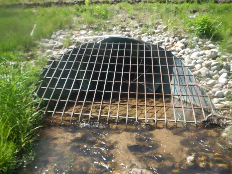
Inlet
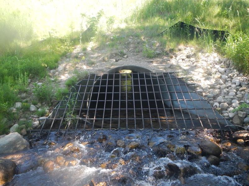
Outlet
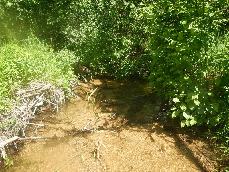
Upstream Conditions
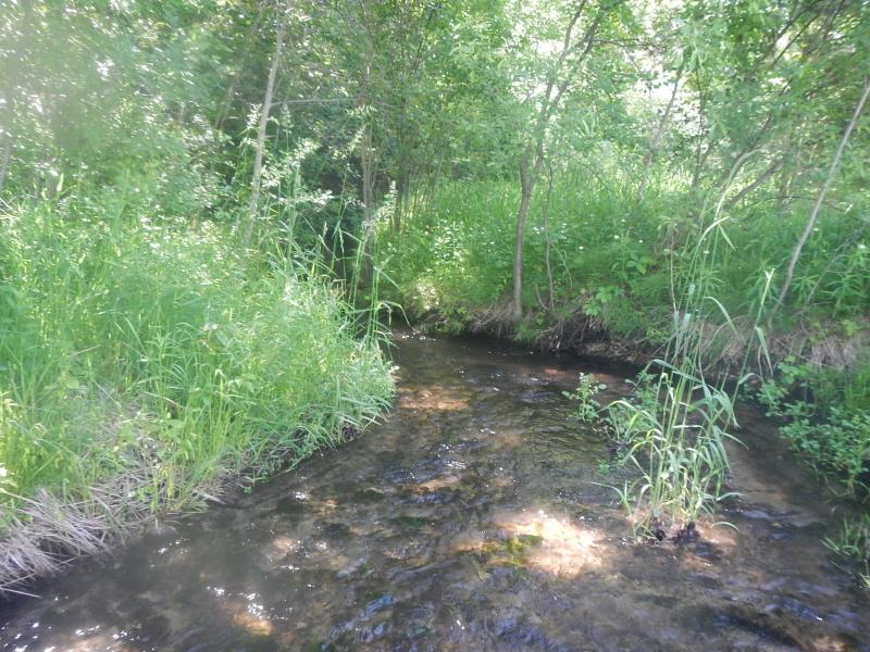
Downstream Conditions
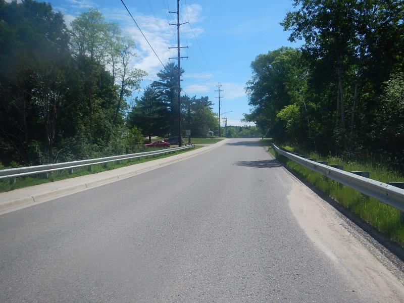
Road Approach - Left
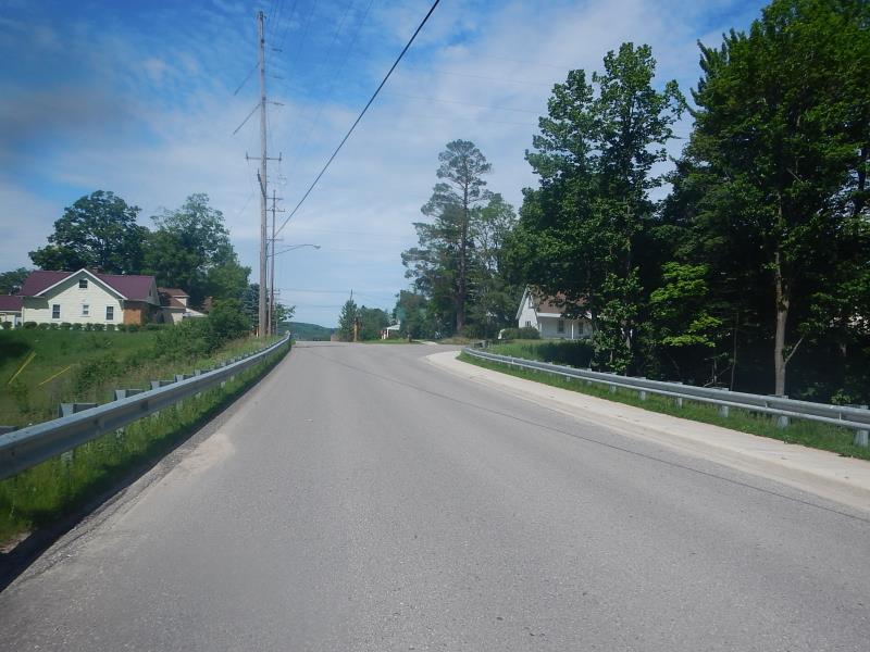
Road Approach - Right
Crossing Information
Type of Crossing: culvert(s)
Number of Structures: 1
Structure Shape: Round
Inlet Type: Trash Rack
Outlet Type: Cascade over Riprap
Structure Material: Metal
Structure Substrate: Rock
General Conditions: Good
Dimensions of Structure: Length 78 ft.
, Width 5 ft.
, Height 5 ft.
Structure Inlet
Water Depth: 0.33 ft.
Water Velocity*: 2.3 ft./sec.
Structure Outlet
Water Depth: 0.45 ft.
Embedded Depth of Structure: 0.25 ft.
Water Velocity*: 0.9 ft./sec.
(with Meter)
Stream Information
Stream Flow: Less than Bankfull
Riffle Information
Water Depth: 0.462 ft.
Bankfull Width: 9.17 ft.
Wetted Width: 9.17 ft.
Water Velocity: 0.62 ft./sec.
(Measured with Meter)
Dominant Substrate: Sand
Road Information
Paved
Road Condition: Good
Road Width at Culvert: 33 ft.
Embankments
Upstream
Fill Depth: 18 ft.
Slope: Vertical
Downstream
Fill Depth: 21 ft.
Slope: Vertical
Approaches
Left Approach
Length: 200 ft.
Slope: 1% to 5%
Vegetation: Partial
LS Factor: 0.48
Erosion: 0.1047 tons/year
Right Approach
Length: 100 ft.
Slope: 1% to 5%
Vegetation: Partial
LS Factor: 0.39
Erosion: 0.0425 tons/year
Erosion Information
Total Erosion at Crossing: 0.1473 tons/year
Extent of Erosion: Stabilized
Summary Information
Fish Passability 0.5
Fish Passage is an area of concern for this site.
clogged trash rack
�