Road Stream Crossing Site Jordan_SA-40
Lake Charlevoix Watershed, Jones Creek
M-66
Charlevoix County
Information collected by:
Site Location
GPS Coordinates: 45.1326528972959
, -85.1395260391654
Fish Passability 0
Perch Height: 8 ft.
Total Erosion: 1.9501 tons/year
Severity: Severe
Year Inventoried: 2015
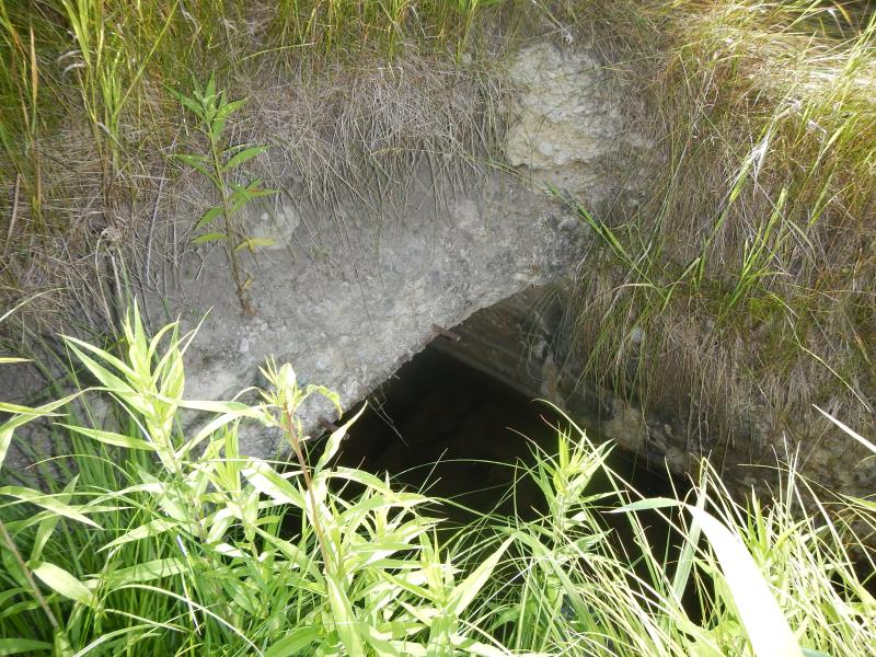
Inlet
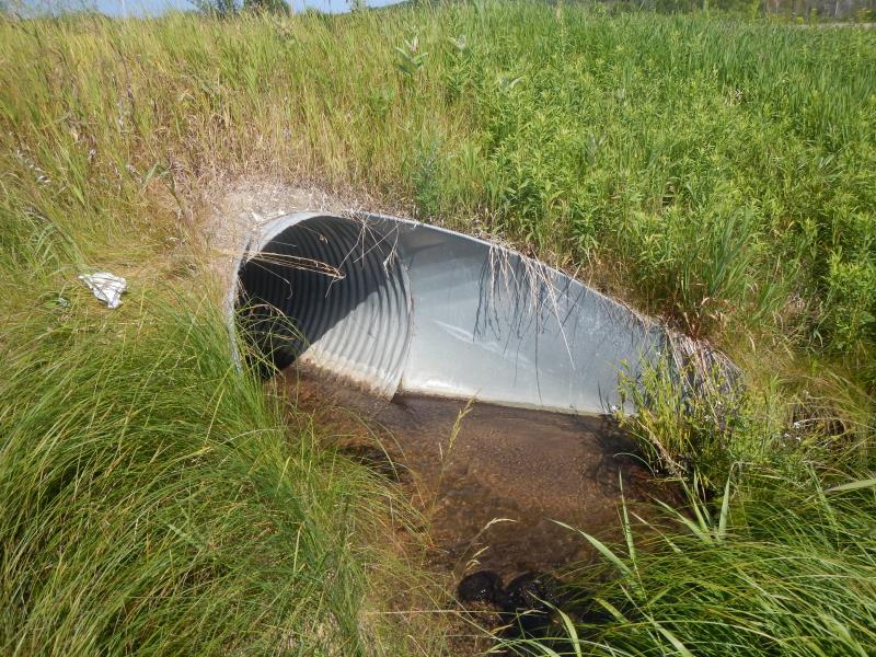
Outlet
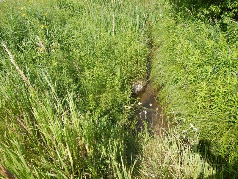
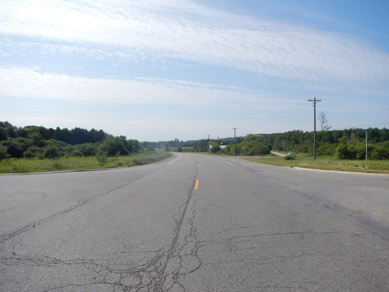
Upstream Conditions
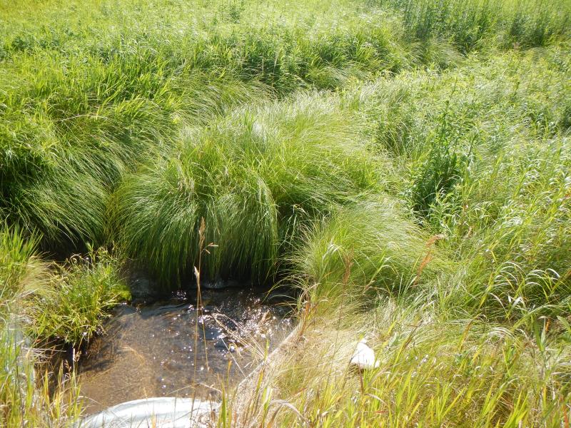
Downstream Conditions
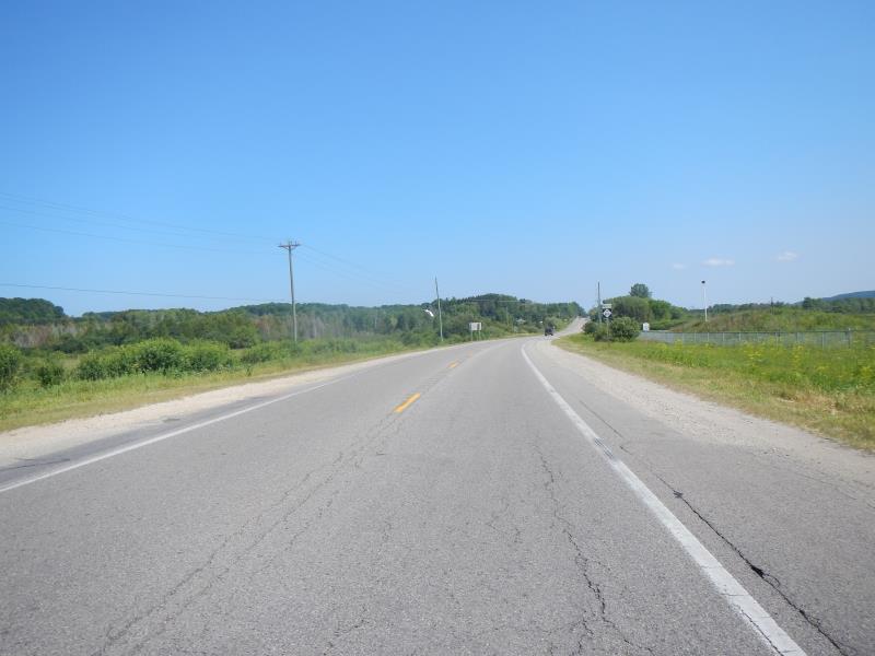
Road Approach - Left
Road Approach - Right
Crossing Information
Type of Crossing: culvert(s)
Number of Structures: 1
Structure Shape: Square/Rectangle
Inlet Type: Wingwall 10-30 Degree
Outlet Type: Outlet Apron
Structure Material: Metal
Structure Substrate: Sand
General Conditions: Fair
Structure Interior: corrugated
Dimensions of Structure: Length 74 ft.
, Width 3 ft.
, Height 3 ft.
Perch Height: 8 ft.
Structure Inlet
Water Depth: 0.8 ft.
Water Velocity*: 0.45 ft./sec.
Structure Outlet
Water Depth: 0.4 ft.
Water Velocity*: 0.35 ft./sec.
*Water Velocities were measured 0.48 ft. below Surface
(with Meter)
Additional Comments
concrete inlet, extended metal outlet
Riffle Information
Water Depth: 0.21 ft.
Bankfull Width: 2.5 ft.
Wetted Width: 2.5 ft.
Water Velocity: 0.5 ft./sec.
(Measured with Meter)
Dominant Substrate: Sand
Road Information
Paved
County Road
Road Condition: Good
Road Width at Culvert: 17 ft.
Location of Low Point: At Stream
Runoff Path: Roadway
Embankments
Upstream
Fill Depth: 3 ft.
Slope: More than 1:2
Downstream
Fill Depth: 3 ft.
Slope: More than 1:2
Approaches
Left Approach
Length: 1000 ft.
Slope: 6% to 10%
Vegetation: Partial
LS Factor: 3.15
Erosion: 1.7702 tons/year
Right Approach
Length: 500 ft.
Slope: 1% to 5%
Vegetation: Partial
LS Factor: 0.64
Erosion: 0.1798 tons/year
Erosion Information
Total Erosion at Crossing: 1.9501 tons/year
Summary Information
Fish Passability 0
�