Road Stream Crossing Site Jordan_SA-41
Lake Charlevoix Watershed, Jones Creek
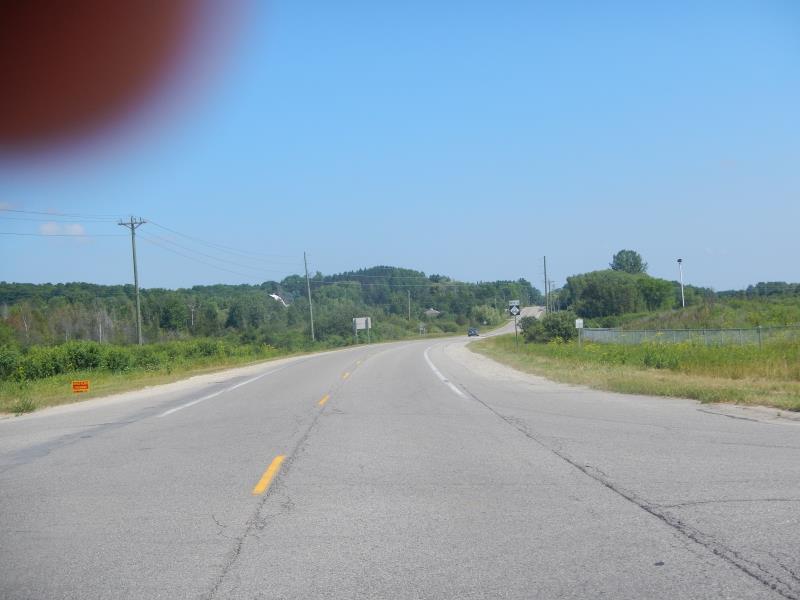
Rogers Rd
Charlevoix County
Information collected by:
Site Location
GPS Coordinates: 45.1325338163173
, -85.1391687442133
Fish Passability 0.9
Total Erosion: 1.8495 tons/year
Severity: Moderate
Year Inventoried: 2015
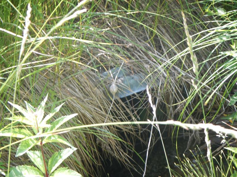
Inlet
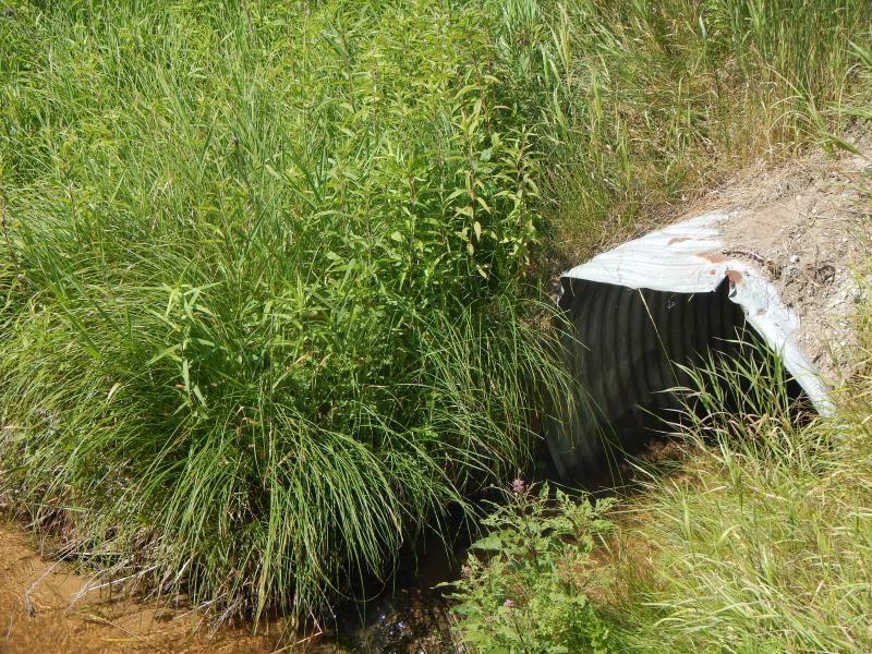
Outlet
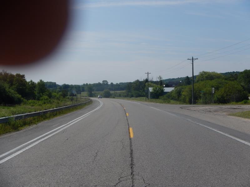
Upstream Conditions
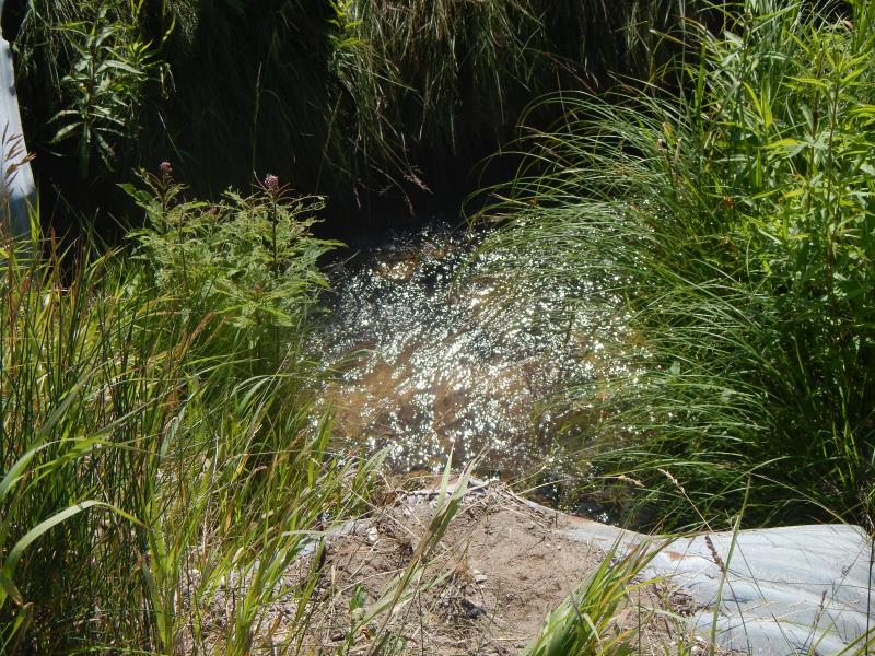
Downstream Conditions
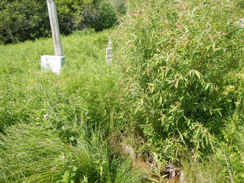
Road Approach - Left
Road Approach - Right
Crossing Information
Type of Crossing: culvert(s)
Number of Structures: 1
Structure Shape: Round
Inlet Type: Mitered
Outlet Type: At Stream Grade
Structure Material: Metal
Structure Substrate: Sand
General Conditions: Good
Multiple Culverts/Spans | ||||
Culvert/Span | Width | Length | Height | Material |
1 |
3.5 ft. |
3.5 ft. |
||
2 |
2 ft. |
2 ft. |
||
Structure Interior: corrugated
Dimensions of Structure: Length 74 ft.
, Width 3.5 ft.
, Height 3.5 ft.
Structure Inlet
Water Depth: 0.5 ft.
Water Velocity*: 0.5 ft./sec.
Structure Outlet
Water Depth: 0.3 ft.
Water Velocity*: 0.4 ft./sec.
*Water Velocities were measured 0.3 ft. below Surface
(with Meter)
Additional Comments
like SA-41, connected beneath road, hense inlet/outlet different sizes/shapes. Multiple culverts, 1 is outlet and 2 is inlet
Stream Information
Stream Flow: Less than 1/2 Bankfull
Riffle Information
Water Depth: 0.7 ft.
Bankfull Width: 3 ft.
Wetted Width: 3 ft.
Water Velocity: 0.95 ft./sec.
(Measured with Meter)
Dominant Substrate: Sand
Road Information
Paved
State Road
Road Condition: Good
Road Width at Culvert: 17 ft.
Location of Low Point: At Stream
Runoff Path: Roadway
Embankments
Upstream
Fill Depth: 3 ft.
Slope: More than 1:2
Downstream
Fill Depth: 3 ft.
Slope: More than 1:2
Approaches
Left Approach
Length: 900 ft.
Slope: 6% to 10%
Vegetation: Partial
LS Factor: 2.99
Erosion: 1.5123 tons/year
Right Approach
Length: 800 ft.
Slope: 1% to 5%
Vegetation: Partial
LS Factor: 0.75
Erosion: 0.3372 tons/year
Erosion Information
Total Erosion at Crossing: 1.8495 tons/year
Summary Information
Fish Passability 0.9
�