Road Stream Crossing Site Jordan_SA-42
Lake Charlevoix Watershed, Jordan River
Rogers Rd
Charlevoix County
Information collected by:
Site Location
GPS Coordinates: 45.1325030820378
, -85.1239649664282
Fish Passability 0.5
Total Erosion: 0.3213 tons/year
Severity: Moderate
Year Inventoried: 2015
Inlet
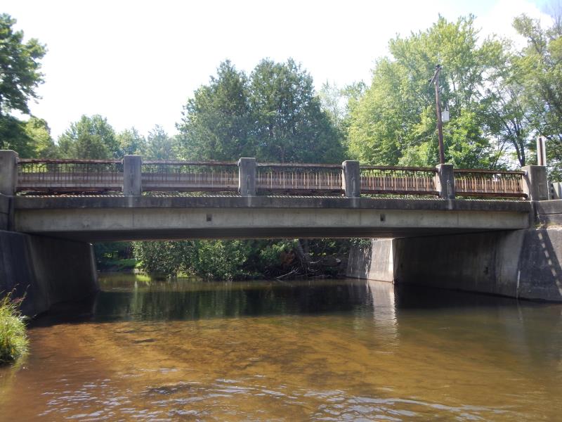
Outlet
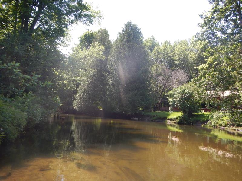
Upstream Conditions
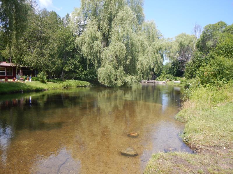
Downstream Conditions
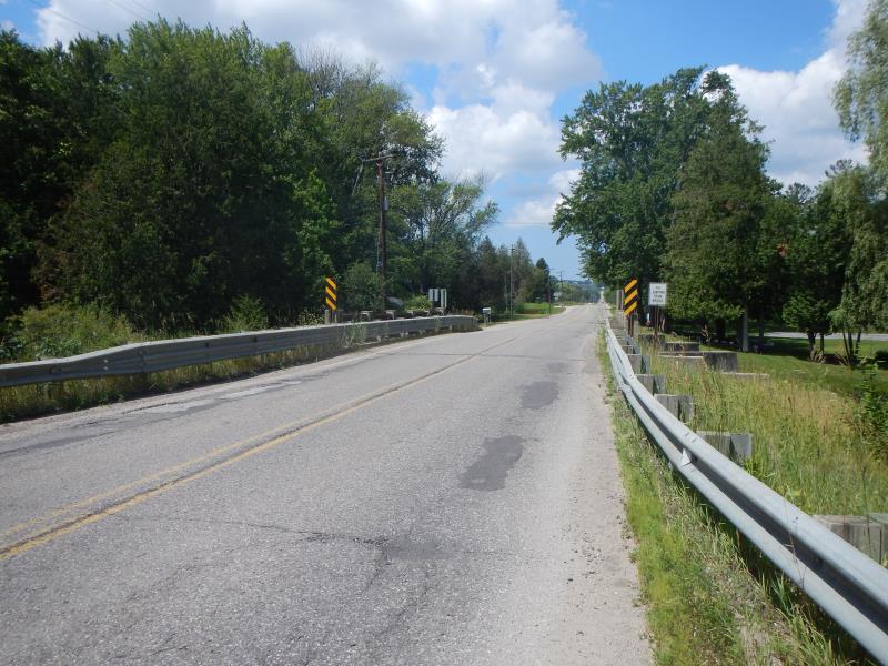
Road Approach - Left
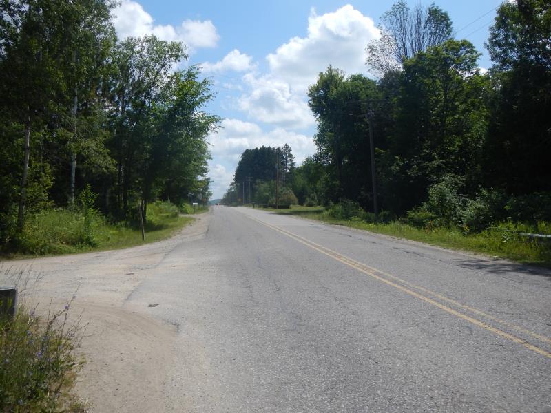
Road Approach - Right
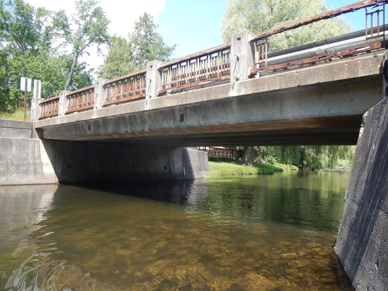
Crossing Information
Type of Crossing: Bridge
Structure Material: Concrete
General Conditions: Good
Dimensions of Structure: Length 28 ft.
, Width 48.5 ft.
, Height 8 ft.
Structure Inlet
Water Depth: 3.8 ft.
Water Velocity*: 2.15 ft./sec.
Structure Outlet
Water Depth: 3.2 ft.
Water Velocity*: 2.45 ft./sec.
*Water Velocities were measured 2.28 ft. below Surface
(with Meter)
Riffle Information
Water Depth: 3.6 ft.
Bankfull Width: 50 ft.
Wetted Width: 50 ft.
Water Velocity: 2.2 ft./sec.
(Measured with Meter)
Dominant Substrate: Sand
Road Information
Paved
County Road
Road Condition: Good
Road Width at Culvert: 24 ft.
Location of Low Point: At Stream
Runoff Path: Roadway
Approaches
Left Approach
Length: 300 ft.
Slope: 1% to 5%
Vegetation: Partial
LS Factor: 0.55
Erosion: 0.1309 tons/year
Right Approach
Length: 400 ft.
Slope: 1% to 5%
Vegetation: Partial
LS Factor: 0.6
Erosion: 0.1904 tons/year
Erosion Information
Total Erosion at Crossing: 0.3213 tons/year
Summary Information
Fish Passability 0.5
�