Road Stream Crossing Site Jordan_SA-5
Lake Charlevoix Watershed, Brown Creek
Nicholls Street
Charlevoix County
Information collected by:
Site Location
GPS Coordinates: 45.1612154081177
, -85.1144391749071
Fish Passability 0
Perch Height: 1 ft.
Total Erosion: 0.1104 tons/year
Severity: Severe
Year Inventoried: 2015
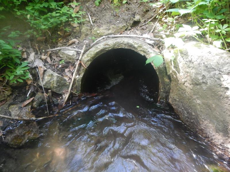
Inlet
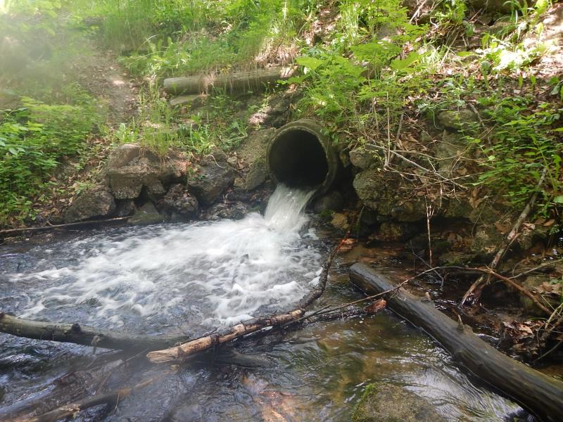
Outlet
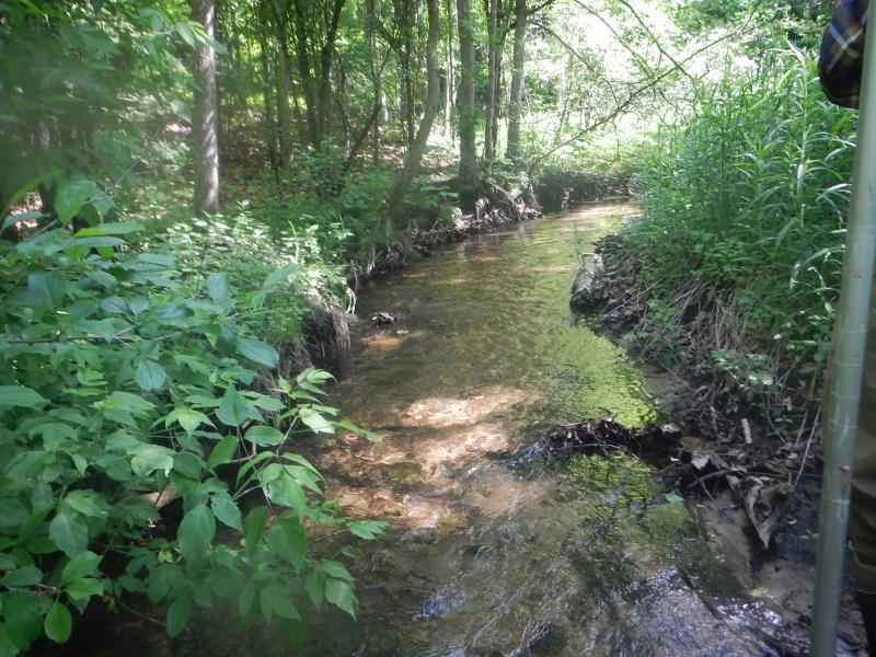
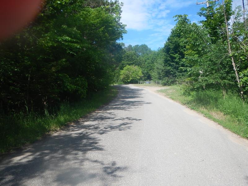
Upstream Conditions
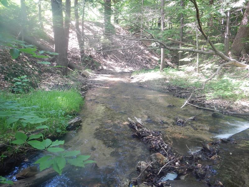
Downstream Conditions
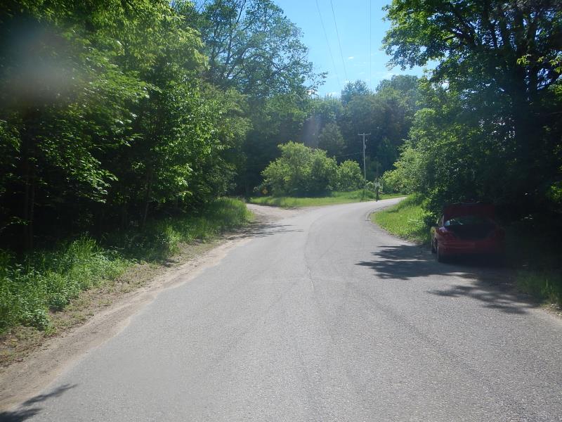
Road Approach - Left
Road Approach - Right
Crossing Information
Type of Crossing: culvert(s)
Number of Structures: 1
Structure Shape: Ellipse
Inlet Type: Mitered
Outlet Type: Freefall onto Riprap
Structure Material: Concrete
Structure Substrate: Sand
General Conditions: Fair
Dimensions of Structure: Length 40 ft.
, Width 1.92 ft.
, Height 2 ft.
Percentage Plugged:
Inlet: 1% to 25%
Perch Height: 1 ft.
Structure Inlet
Water Depth: 0.75 ft.
Water Velocity*: 2.4 ft./sec.
Structure Outlet
Water Depth: 0.25 ft.
Water Velocity*: 4.1 ft./sec.
(with Meter)
Stream Information
Stream Flow: Bankfull
Riffle Information
Water Depth: 0.31 ft.
Bankfull Width: 5.41 ft.
Wetted Width: 5 ft.
Water Velocity: 1.12 ft./sec.
(Measured with Meter)
Dominant Substrate: Gravel
Road Information
Paved
Road Condition: Good
Road Width at Culvert: 21 ft.
Location of Low Point: At Stream
Runoff Path: Roadway
Embankments
Upstream
Fill Depth: 5.83 ft.
Slope: Vertical
Downstream
Fill Depth: 7.17 ft.
Slope: Vertical
Approaches
Left Approach
Length: 100 ft.
Slope: 6% to 10%
Vegetation: Heavy
LS Factor: 0.99
Erosion: 0.0687 tons/year
Right Approach
Length: 150 ft.
Slope: 1% to 5%
Vegetation: Heavy
LS Factor: 0.4
Erosion: 0.0417 tons/year
Erosion Information
Total Erosion at Crossing: 0.1104 tons/year
Summary Information
Fish Passability 0
Fish Passage is an area of concern for this site.
eleveated outlet
�