Road Stream Crossing Site CHAR_BA04
Lake Charlevoix Watershed, Unknown
Champerret
Bay Twp,
Charlevoix County
Information collected by:
Site Location
GPS Coordinates: 45.27709
, -85.07257
T33N
R06W
Sec 8
Owned by Private
Structure is NOT Perched
Total Erosion: 0.0291 tons/year
Severity: Minor
Year Inventoried: 2011
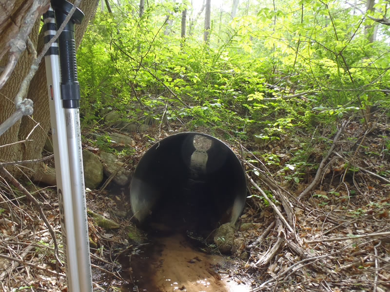
Inlet
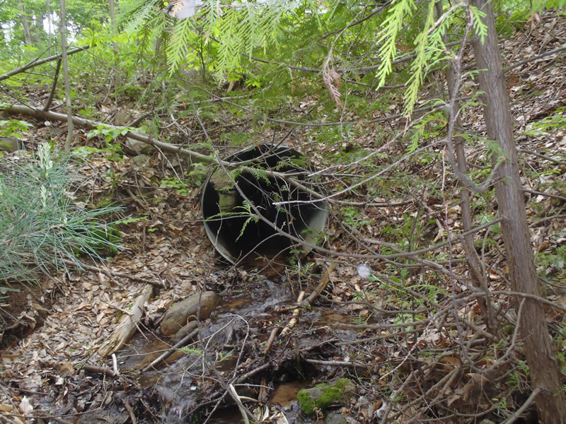
Outlet
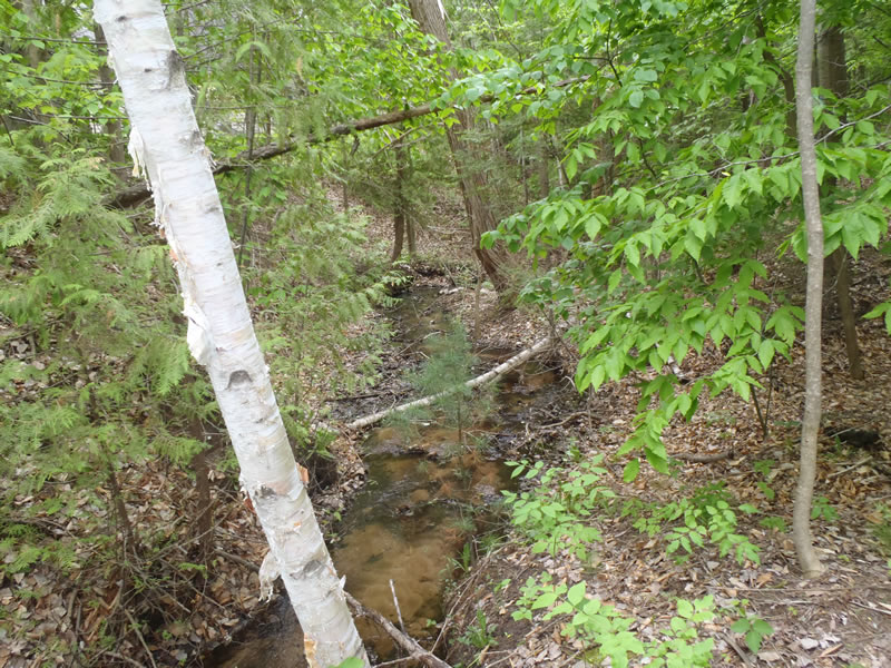
Upstream Conditions
Downstream Conditions
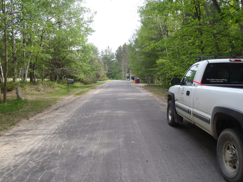
Road Approach - Left
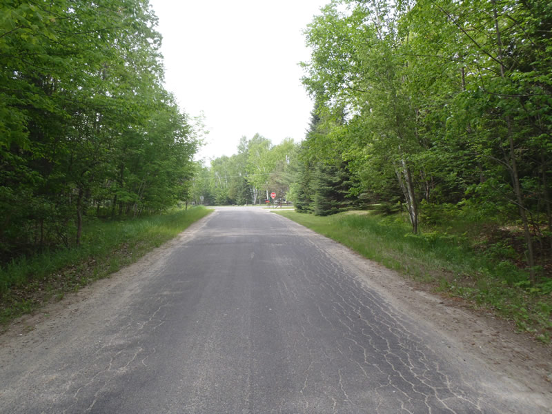
Road Approach - Right
Crossing Information
Type of Crossing: culvert(s)
Number of Structures: 1
Structure Shape: Round
Inlet Type: Projecting
Outlet Type: Cascade over Riprap
Structure Material: Metal
Structure Substrate: Mixture
General Conditions: Good
Structure Interior: corrugated
Dimensions of Structure: Length 60 ft.
, Width 4 ft.
, Height 4 ft.
Structure is NOT Perched
Structure Inlet
Water Depth: 0.25 ft.
Embedded Depth of Structure: 0 ft.
Water Velocity*: 1.1 ft./sec.
Structure Outlet
Water Depth: 0.24 ft.
Embedded Depth of Structure: 0 ft.
Water Velocity*: 1.1 ft./sec.
*Water Velocities were measured at the Surface
(with Meter)
Stream Information
Stream Flow: Less than Bankfull
Riffle Information
Water Depth: 0.1 ft.
Bankfull Width: 7.5 ft.
Wetted Width: 4 ft.
Water Velocity: 1 ft./sec.
(Measured with Meter)
Dominant Substrate: Sand
Road Information
Paved
County Road
Road Condition: Fair
Road Width at Culvert: 22 ft.
Location of Low Point: At Stream
Runoff Path: Roadway
Embankments
Upstream
Fill Depth: 7.5 ft.
Slope: 1:1
Downstream
Fill Depth: 8 ft.
Slope: Vertical
Approaches
Left Approach
Length: 336 ft.
Slope: Less Than 1%
Vegetation: Partial
LS Factor: 0.05
Erosion: 0.0122 tons/year
Right Approach
Length: 219 ft.
Slope: Less Than 1%
Vegetation: Partial
LS Factor: 0.05
Erosion: 0.008 tons/year
Erosion Information
Total Erosion at Crossing: 0.0291 tons/year
Extent of Erosion: Minor
Notes:
Reveg
Summary Information
Erosion is an area of concern for this site.
No.
These non-native species were observerd at this site: Barberry
�