Road Stream Crossing Site Jordan_SA-6
Lake Charlevoix Watershed, Unnamed tributary to Brown Creek
Sloop Rd
Charlevoix County
Information collected by:
Site Location
GPS Coordinates: 45.1476538343921
, -85.1039001259908
Fish Passability 0.5
Severity: Moderate
Year Inventoried: 2015
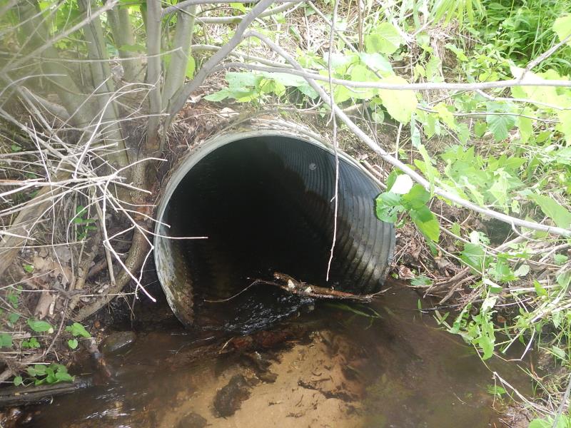
Inlet
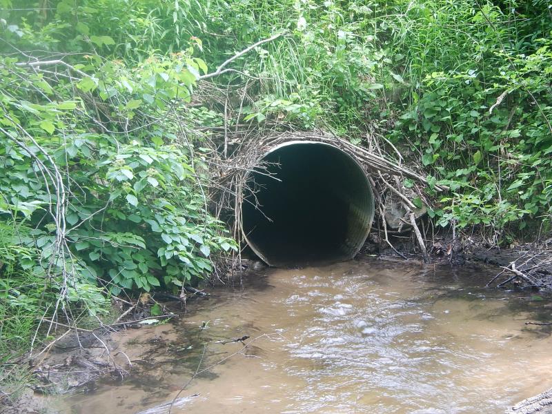
Outlet
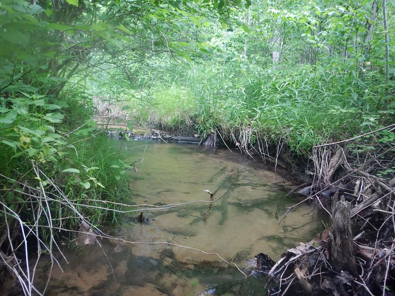
Upstream Conditions
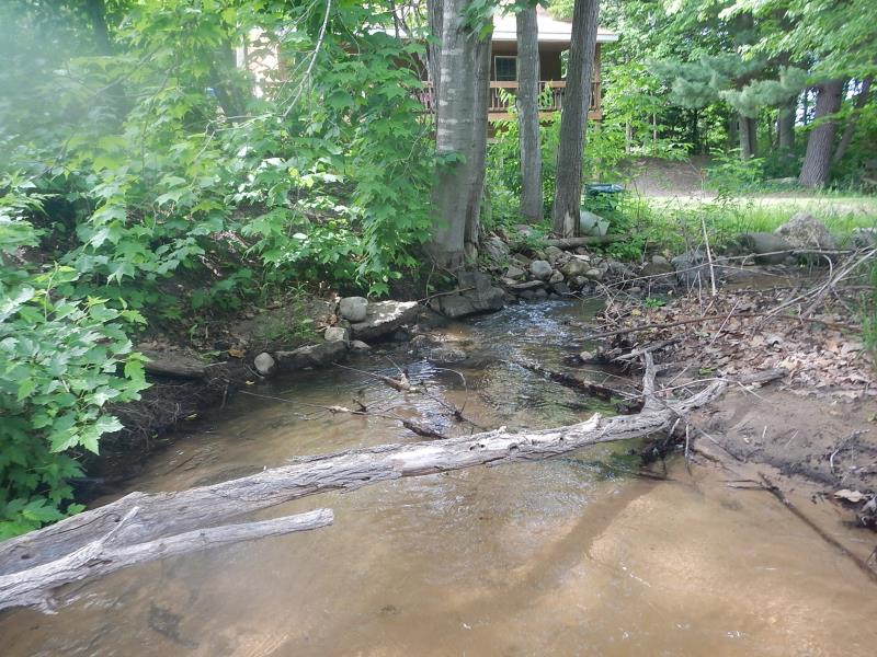
Downstream Conditions
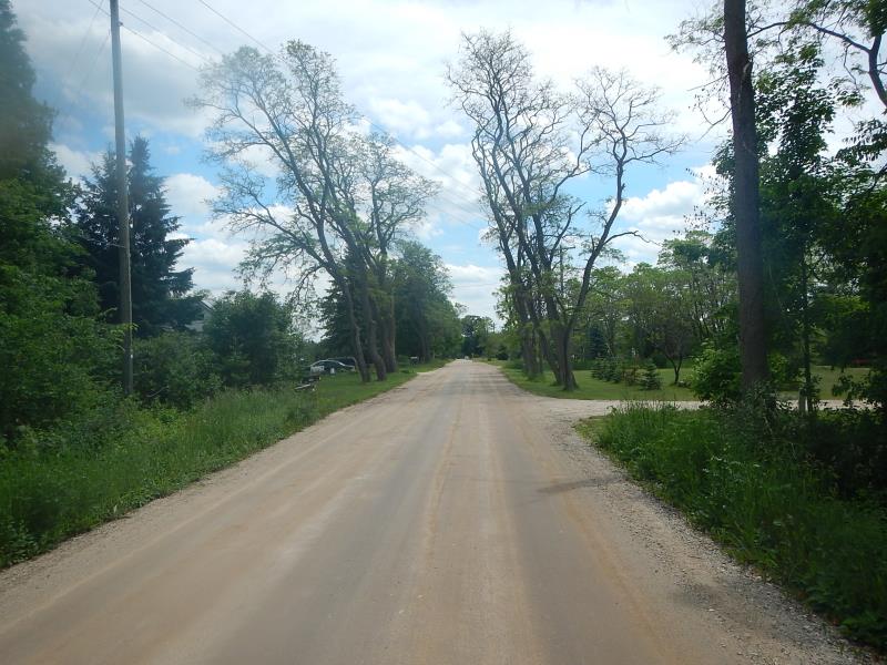
Road Approach - Left
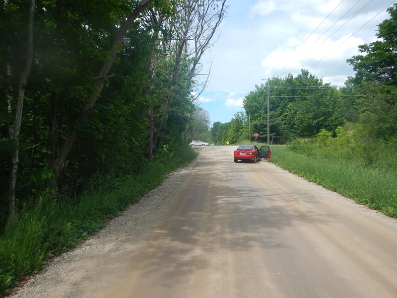
Road Approach - Right
Crossing Information
Type of Crossing: culvert(s)
Number of Structures: 1
Structure Shape: Round
Inlet Type: Projecting
Outlet Type: At Stream Grade
Structure Material: Metal
Structure Substrate: None
General Conditions: Good
Structure Interior: corrugated
Dimensions of Structure: Length 35.5 ft.
, Width 3 ft.
, Height 3 ft.
Structure Inlet
Water Depth: 0.67 ft.
Water Velocity*: 0.8 ft./sec.
Structure Outlet
Water Depth: 0.6 ft.
Water Velocity*: 1.5 ft./sec.
(with Meter)
Stream Information
Stream Flow: Less than Bankfull
Riffle Information
Water Depth: 0.34 ft.
Bankfull Width: 5.5 ft.
Wetted Width: 5.5 ft.
Water Velocity: 0.66 ft./sec.
(Measured with Meter)
Dominant Substrate: Sand
Road Information
Paved
Road Condition: Good
Road Width at Culvert: 22.5 ft.
Embankments
Upstream
Fill Depth: 4.83 ft.
Slope: More than 1:2
Downstream
Fill Depth: 4.58 ft.
Slope: Vertical
Length: 1200 ft.
Slope: Less Than 1%
Vegetation: Partial
Length: 300 ft.
Slope: 1% to 5%
Vegetation: Partial
Erosion Information
Summary Information
Fish Passability 0.5
�