Road Stream Crossing Site Jordan_SA-7
Lake Charlevoix Watershed, Unnamed tributary to Brown Creek
Griffin Rd
Charlevoix County
Information collected by:
Site Location
GPS Coordinates: 45.1473554251977
, -85.1089408984274
Fish Passability 0.5
Total Erosion: 0.1248 tons/year
Severity: Moderate
Year Inventoried: 2015
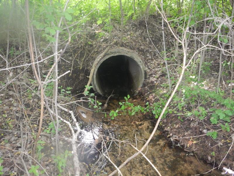
Inlet
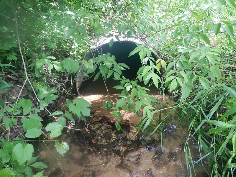
Outlet
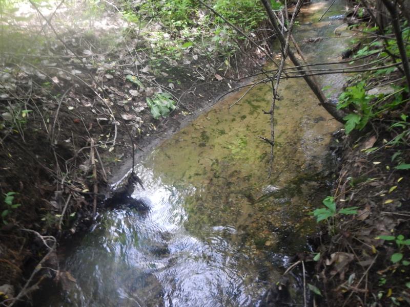
Upstream Conditions
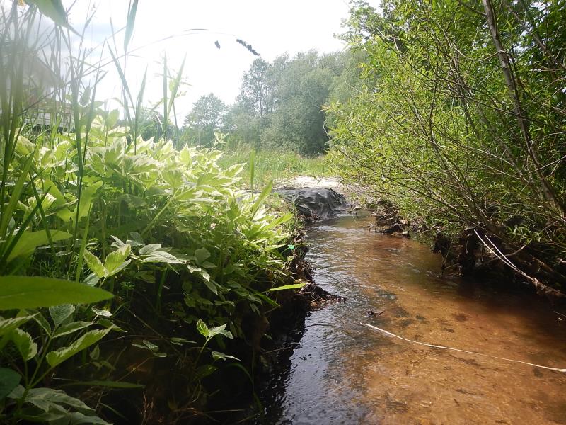
Downstream Conditions
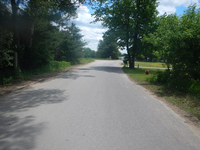
Road Approach - Left
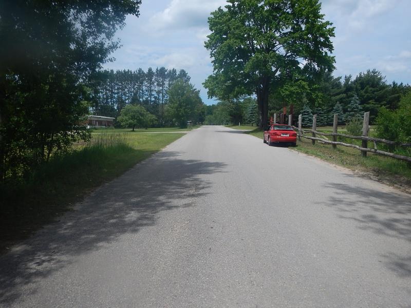
Road Approach - Right
Crossing Information
Type of Crossing: culvert(s)
Number of Structures: 1
Structure Shape: Round
Inlet Type: Projecting
Outlet Type: At Stream Grade
Structure Material: Concrete
Structure Substrate: Sand
General Conditions: Good
Dimensions of Structure: Length 35 ft.
, Width 3 ft.
, Height 3 ft.
Structure Inlet
Water Depth: 0.3 ft.
Water Velocity*: 2 ft./sec.
Structure Outlet
Water Depth: 0.42 ft.
Embedded Depth of Structure: 0.42 ft.
Water Velocity*: 0.9 ft./sec.
(with Meter)
Stream Information
Stream Flow: Less than Bankfull
Riffle Information
Water Depth: 0.275 ft.
Bankfull Width: 2.67 ft.
Wetted Width: 2.67 ft.
Water Velocity: 0.525 ft./sec.
(Measured with Meter)
Dominant Substrate: Sand
Road Information
Paved
County Road
Road Condition: Good
Road Width at Culvert: 15 ft.
Location of Low Point: At Stream
Runoff Path: Ditch
Embankments
Upstream
Fill Depth: 3 ft.
Slope: 1:1.5
Downstream
Fill Depth: 3.5 ft.
Slope: 1:2
Approaches
Left Approach
Length: 100 ft.
Slope: Less Than 1%
Vegetation: Heavy
LS Factor: 0.05
Erosion: 0.0025 tons/year
Right Approach
Length: 400 ft.
Slope: 1% to 5%
Vegetation: Partial
LS Factor: 0.6
Erosion: 0.119 tons/year
Erosion Information
Total Erosion at Crossing: 0.1248 tons/year
Extent of Erosion: Minor
Erosion is occurring and corrective actions can be installed to address the problem.
Location of Erosion | Erosion Dimensions | Eroded Material | Material Eroded | Total Erosion | ||
facing downstream | Length | Width | Depth | Reaching Stream? | (tons/year) | |
Left Downstream Streambank |
6 ft. |
3 ft. |
0.5 ft. |
no |
Sand |
0.0033 |
Summary Information
Fish Passability 0.5
Erosion is an area of concern for this site.
�