Road Stream Crossing Site Jordan_WA-1
Lake Charlevoix Watershed, Jordan River
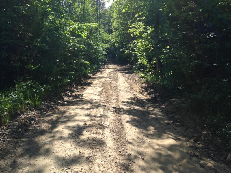
Jordan Valley Road
Antrim County
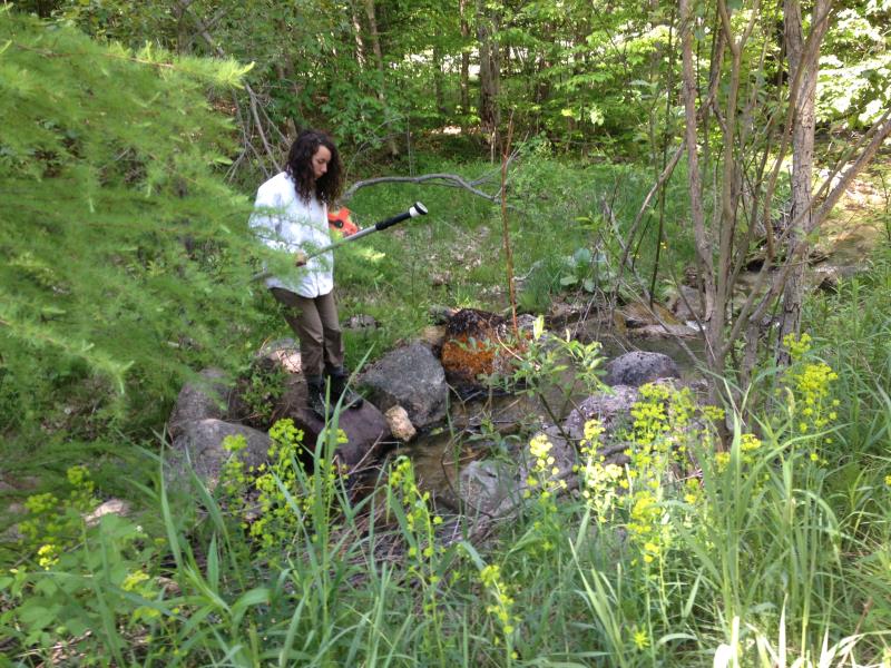
Information collected by:
Site Location
GPS Coordinates: 45.0643244737418
, -84.9246140179678
Perch Height: 1 ft.
Severity: Moderate
Year Inventoried: 2015
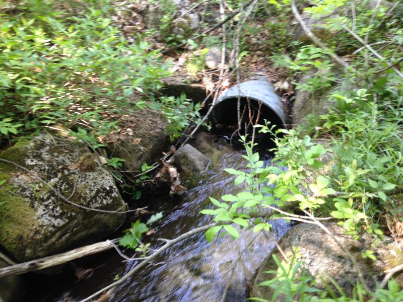
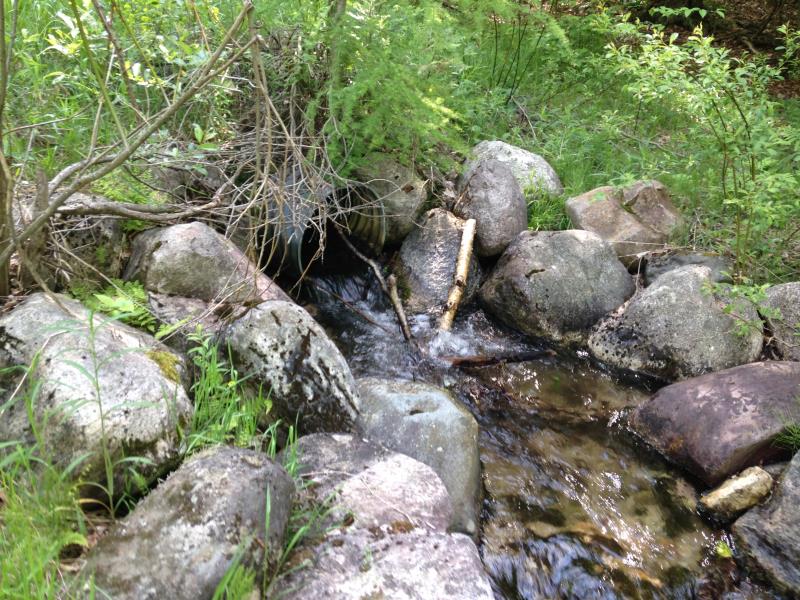
Inlet
Outlet
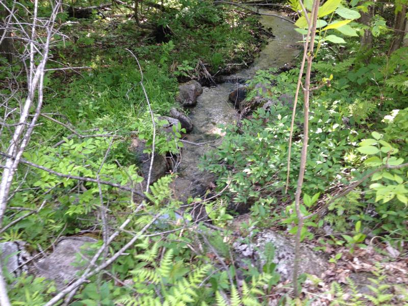
Upstream Conditions
Downstream Conditions
Road Approach - Left
Road Approach - Right
Crossing Information
Type of Crossing: culvert(s)
Number of Structures: 1
Structure Shape: Round
Inlet Type: Projecting
Outlet Type: Freefall into Pool
Structure Material: Metal
Structure Substrate: None
General Conditions: Good
Structure Interior: corrugated
Dimensions of Structure: Length 44 ft.
, Width 2 ft.
, Height 2 ft.
Percentage Plugged:
Inlet: 1% to 25%
Outlet: 0%
In Pipe: 0%
Perch Height: 1 ft.
Structure Inlet
Water Depth: 0.8 ft.
Embedded Depth of Structure: 0 ft.
Water Velocity*: 1.2 ft./sec.
Structure Outlet
Water Depth: 0.5 ft.
Embedded Depth of Structure: 0 ft.
Water Velocity*: 5.2 ft./sec.
*Water Velocities were measured 0.17 ft. below Surface
(with Meter)
Stream Information
Stream Flow: Less than Bankfull
Scour Pool: Length 2 ft.
, Width 2 ft.
, Depth 1 ft.
Riffle Information
Water Depth: 0.5 ft.
Bankfull Width: 6 ft.
Wetted Width: 4 ft.
Water Velocity: 2.1 ft./sec.
(Measured with Meter)
Dominant Substrate: Sand
Road Information
Sand
County Road
Road Condition: Fair
Road Width at Culvert: 13 ft.
Location of Low Point: Other
Runoff Path: Roadway
Embankments
Upstream
Fill Depth: 1 ft.
Slope: 1:2
Downstream
Fill Depth: 1.5 ft.
Slope: 1:2
Length: 500 ft.
Slope: 6% to 10%
Vegetation: Partial
Length: 50 ft.
Slope: Less Than 1%
Vegetation: Partial
Erosion Information
Extent of Erosion: Moderate
Summary Information
Fish Passage is an area of concern for this site.
fast and perch
A future visit to this site is recommended.
check perch and plug
�