Road Stream Crossing Site Jordan_WA-2
Lake Charlevoix Watershed, Jordan River
Jordan River Road
Antrim County
Information collected by:
Site Location
GPS Coordinates: 45.0643242149299
, -84.9474982942702
Total Erosion: 0.8639 tons/year
Severity: Restored
Year Inventoried: 2015
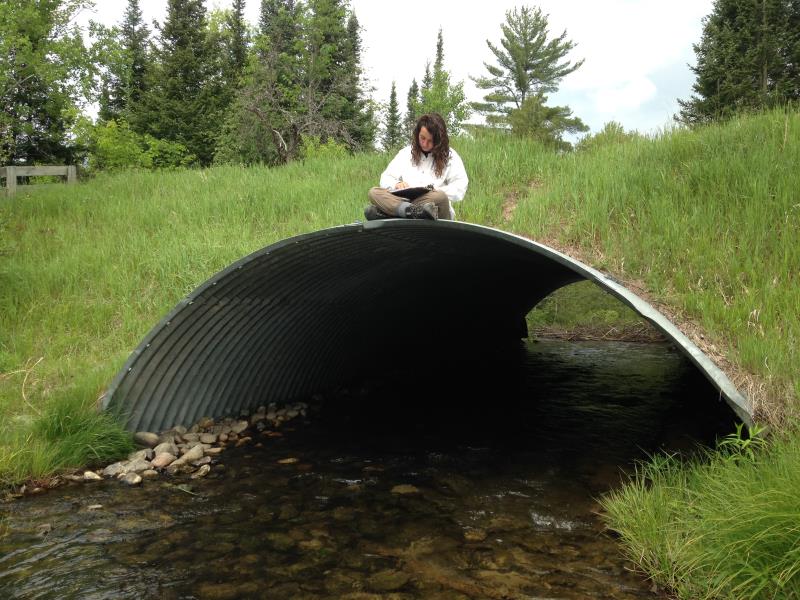
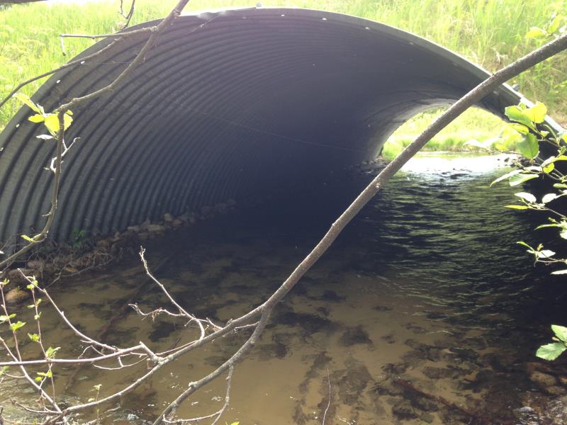
Inlet
Outlet
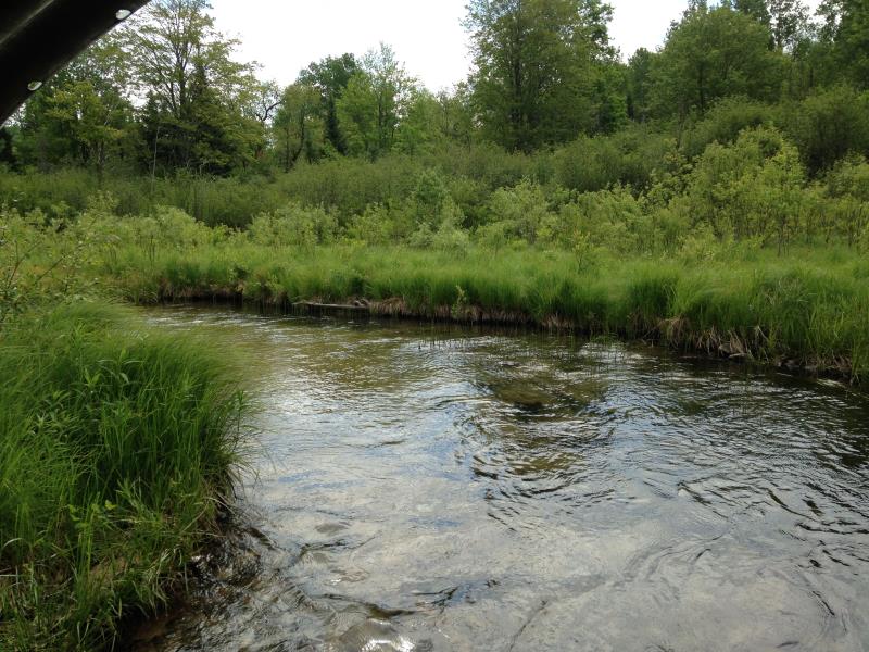
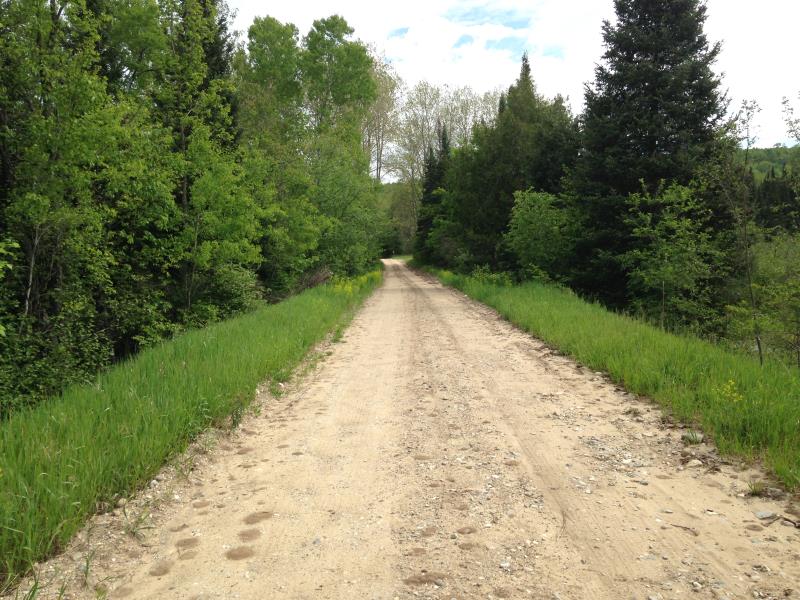
Upstream Conditions
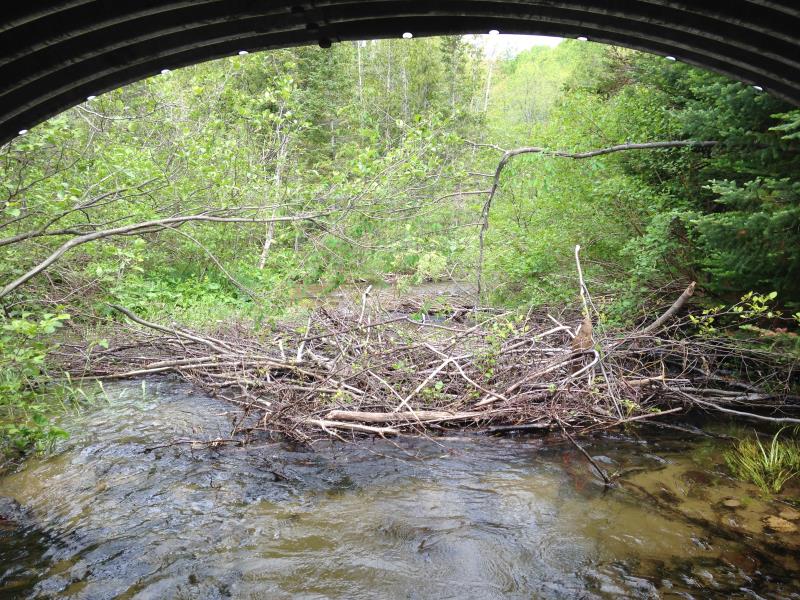
Downstream Conditions
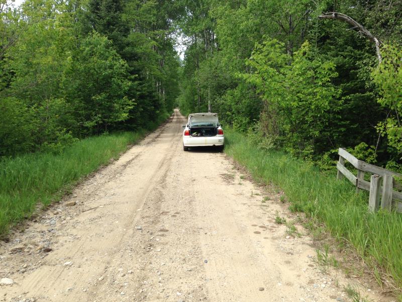
Road Approach - Left
Road Approach - Right
Crossing Information
Type of Crossing: culvert(s)
Number of Structures: 1
Structure Shape: Open Bottom Arch
Inlet Type: Projecting
Outlet Type: At Stream Grade
Structure Material: Metal
Structure Substrate: Mixture
General Conditions: Good
Structure Interior: corrugated
Dimensions of Structure: Length 50 ft.
, Width 16 ft.
, Height 6 ft.
Structure Inlet
Water Depth: 1.2 ft.
Water Velocity*: 2.7 ft./sec.
Structure Outlet
Water Depth: 1.2 ft.
Water Velocity*: 1.3 ft./sec.
*Water Velocities were measured 1 ft. below Surface
(with Meter)
Stream Information
Stream Flow: Less than 1/2 Bankfull
Riffle Information
Water Depth: 1.38 ft.
Bankfull Width: 19.67 ft.
Wetted Width: 19.17 ft.
Water Velocity: 1.3 ft./sec.
(Measured with Meter)
Dominant Substrate: Sand
Road Information
Gravel
County Road
Road Condition: Fair
Road Width at Culvert: 14 ft.
Location of Low Point: At Stream
Runoff Path: Roadway
Embankments
Upstream
Fill Depth: 3 ft.
Slope: 1:1.5
Downstream
Fill Depth: 3 ft.
Slope: 1:1.5
Approaches
Left Approach
Length: 200 ft.
Slope: 1% to 5%
Vegetation: Heavy
LS Factor: 0.43
Erosion: 0.3317 tons/year
Right Approach
Length: 300 ft.
Slope: 1% to 5%
Vegetation: Heavy
LS Factor: 0.46
Erosion: 0.5322 tons/year
Erosion Information
Total Erosion at Crossing: 0.8639 tons/year
Extent of Erosion: Moderate
Summary Information
Erosion is an area of concern for this site.
A future visit to this site is recommended.
Arch culvert was installed by partners in 2004 with CMI funds from Tip of Mitt ($29,297) & ACRC match ($11,600), to replace a 3' dia. and 50' long culvert.
�