Road Stream Crossing Site Jordan_WA-3
Lake Charlevoix Watershed, Jordan River
Jordan River Road
Antrim County
Information collected by:
Site Location
GPS Coordinates: 45.0594751686058
, -84.9527221285359
Owned by State
Total Erosion: 6.2 tons/year
Severity: Severe
Year Inventoried: 2015
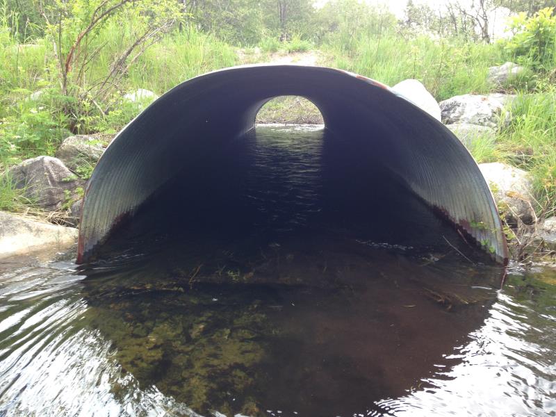
Inlet
Outlet
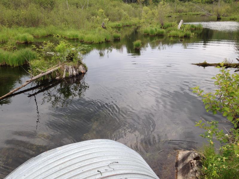
Upstream Conditions
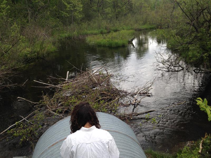
Downstream Conditions
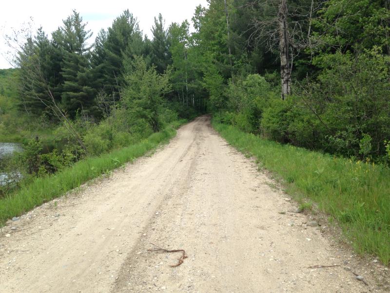
Road Approach - Left
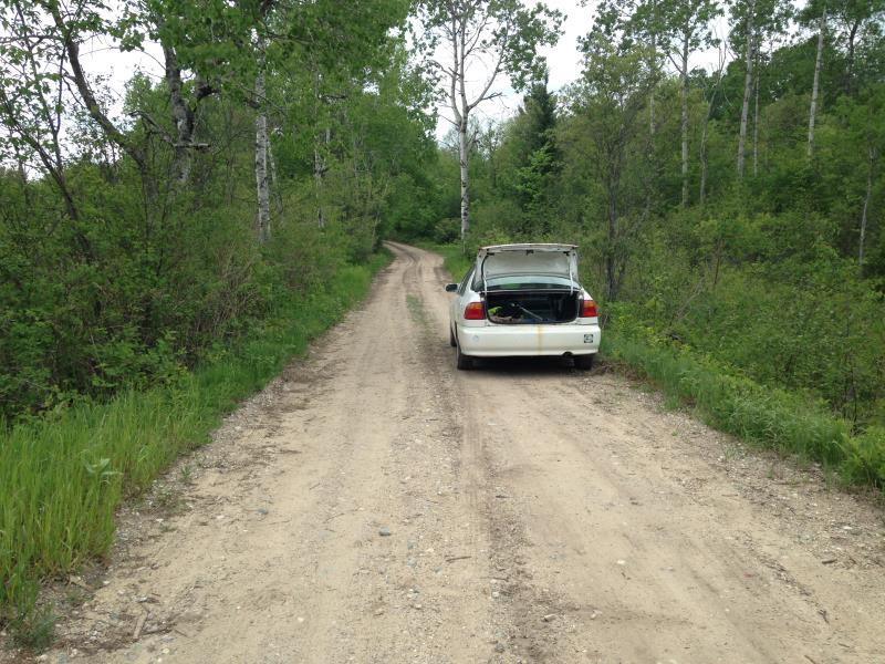
Road Approach - Right
Crossing Information
Type of Crossing: culvert(s)
Number of Structures: 1
Structure Shape: Round
Inlet Type: Projecting
Outlet Type: At Stream Grade
Structure Material: Metal
Structure Substrate: Sand
General Conditions: Good
Structure Interior: corrugated
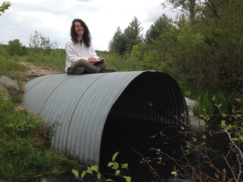
Dimensions of Structure: Length 40 ft.
, Width 6.5 ft.
, Height 5 ft.
Percentage Plugged:
Inlet: 1% to 25%
Outlet: 1% to 25%
In Pipe: 0%
Structure Inlet
Water Depth: 2.1 ft.
Embedded Depth of Structure: 1 ft.
Water Velocity*: 1.9 ft./sec.
Structure Outlet
Water Depth: 1.7 ft.
Embedded Depth of Structure: 0 ft.
Water Velocity*: 3 ft./sec.
*Water Velocities were measured 0.5 ft. below Surface
(with Meter)
Stream Information
Stream Flow: Less than Bankfull
Scour Pool: Length 100 ft.
, Width 60 ft.
, Depth 3 ft.
Upstream Pond: Length 250 ft.
, Width 150 ft.
, Depth 12 ft.
Riffle Information
Water Depth: 1.31 ft.
Bankfull Width: 6.5 ft.
Wetted Width: 6.5 ft.
Water Velocity: 1.79 ft./sec.
(Measured with Meter)
Dominant Substrate: Organics
Road Information
Sand
County Road
Road Condition: Fair
Road Width at Culvert: 14.5 ft.
Location of Low Point: At Stream
Runoff Path: Roadway
Embankments
Upstream
Fill Depth: 1.5 ft.
Slope: More than 1:2
Downstream
Fill Depth: 1.5 ft.
Slope: More than 1:2
Approaches
Left Approach
Length: 400 ft.
Slope: 1% to 5%
Vegetation: Partial
LS Factor: 1.56
Erosion: 3.1 tons/year
Right Approach
Length: 400 ft.
Slope: 1% to 5%
Vegetation: Partial
LS Factor: 1.56
Erosion: 3.1 tons/year
Erosion Information
Total Erosion at Crossing: 6.2 tons/year
Extent of Erosion: Severe
Erosion is occurring and corrective actions can be installed to address the problem.
Notes:
erosion listed location: on top culvert outfall. At outfall, some landscaping cloth exposed. Road has been overtopped with water in prior years.
Summary Information
Erosion is an area of concern for this site.
Beavers regularly plugging culvert. Ponding is extreme at inlet due to inadequate culvert size.
�