Road Stream Crossing Site Jordan_WA-5
Lake Charlevoix Watershed, Jordan River
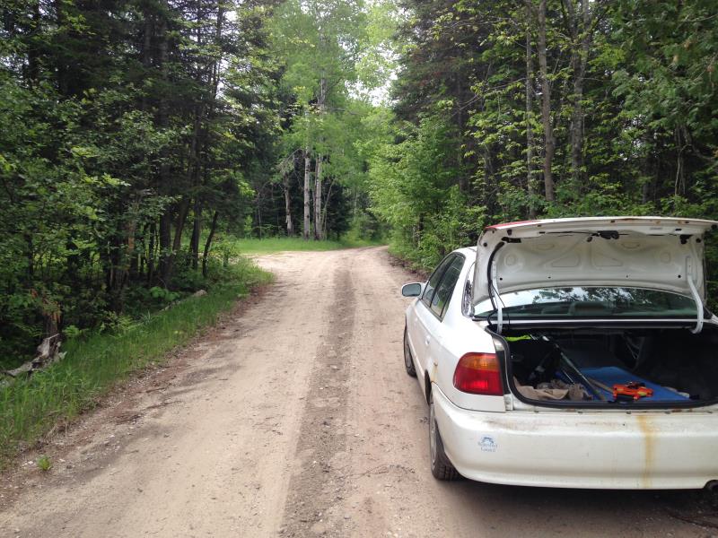
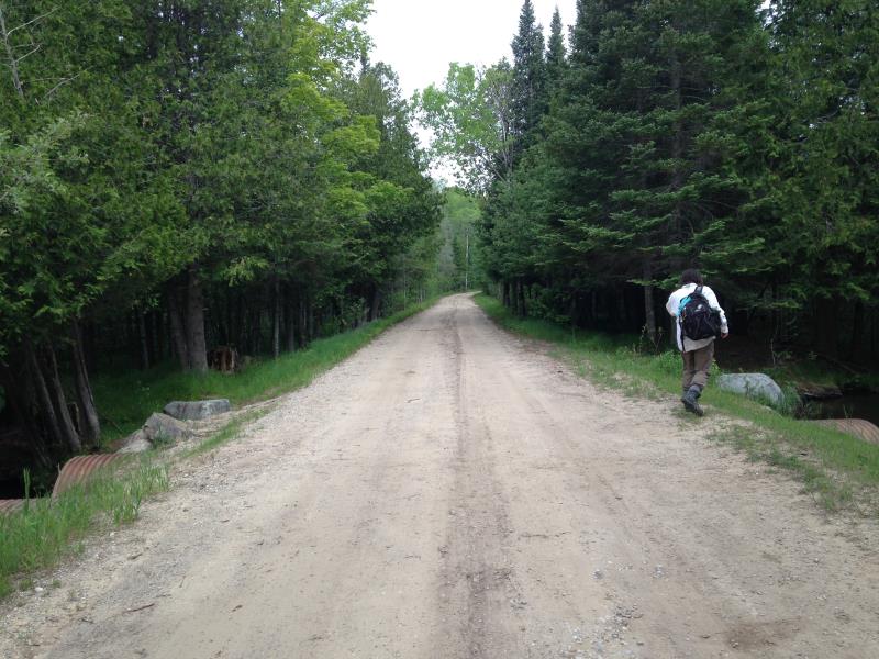
Jordan River Road
Antrim County
Information collected by:
Site Location
GPS Coordinates: 45.0363881984657
, -84.9686020468507
Owned by State
Total Erosion: 6.2 tons/year
Severity: Severe
Year Inventoried: 2015
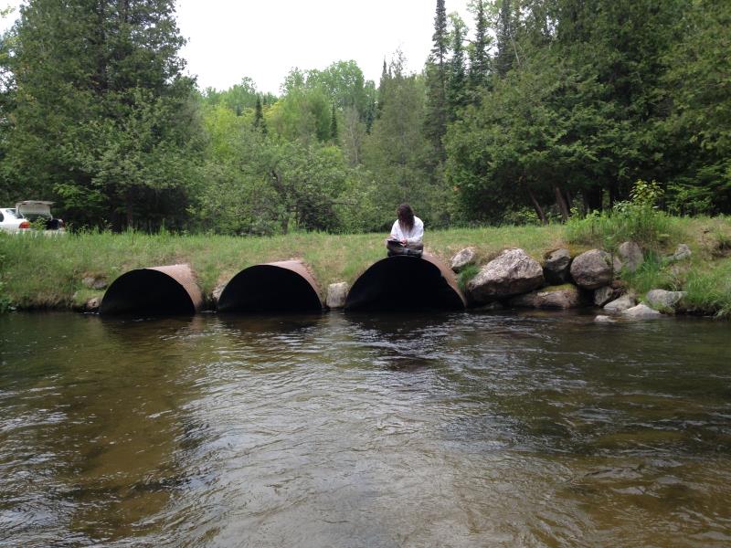
Inlet
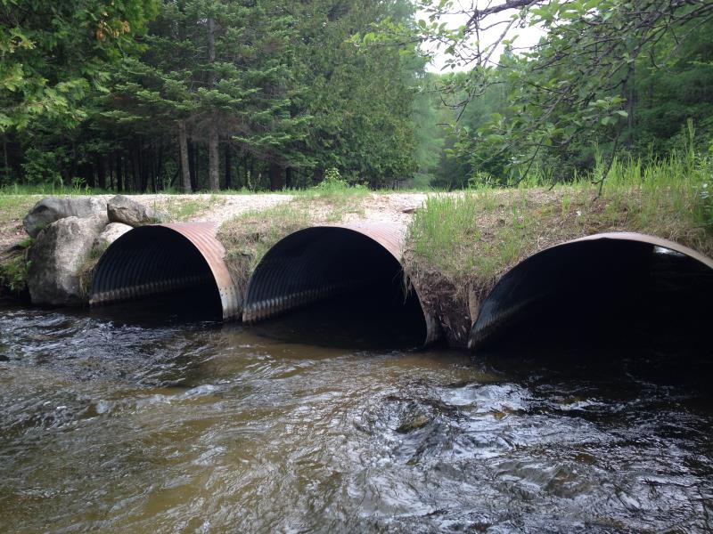
Outlet
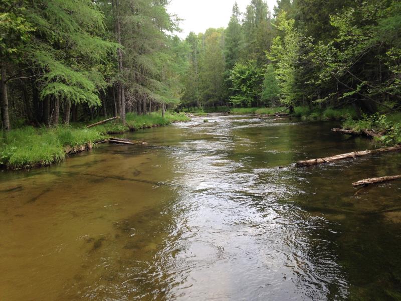
Upstream Conditions
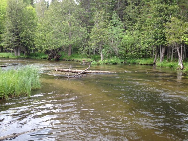
Downstream Conditions
Road Approach - Left
Road Approach - Right
Crossing Information
Type of Crossing: culvert(s)
Number of Structures: 3
Structure Shape: Ellipse
Inlet Type: Projecting
Outlet Type: At Stream Grade
Structure Material: Metal
Structure Substrate: Sand
General Conditions: Fair
Multiple Culverts/Spans | ||||
Culvert/Span | Width | Length | Height | Material |
1 |
6 ft. |
31 ft. |
3.83 ft. |
Metal |
2 |
6 ft. |
31 ft. |
3.83 ft. |
Metal |
3 |
6 ft. |
31 ft. |
3.83 ft. |
Metal |
Structure Interior: corrugated
Dimensions of Structure: Length 31 ft.
, Width 6 ft.
, Height 3.83 ft.
Structure Inlet
Water Depth: 1.4 ft.
Embedded Depth of Structure: 0 ft.
Water Velocity*: 3 ft./sec.
Structure Outlet
Water Depth: 1 ft.
Embedded Depth of Structure: 0 ft.
Water Velocity*: 5.1 ft./sec.
(with Meter)
Stream Information
Stream Flow: Less than Bankfull
Riffle Information
Water Depth: 2.28 ft.
Bankfull Width: 28 ft.
Wetted Width: 25 ft.
Water Velocity: 1.38 ft./sec.
(Measured with Meter)
Dominant Substrate: Organics
Road Information
Sand
County Road
Road Condition: Fair
Road Width at Culvert: 17 ft.
Location of Low Point: At Stream
Runoff Path: Roadway
Embankments
Upstream
Fill Depth: 1 ft.
Slope: 1:2
Downstream
Fill Depth: 2 ft.
Slope: 1:2
Approaches
Left Approach
Length: 400 ft.
Slope: 1% to 5%
Vegetation: Partial
LS Factor: 1.56
Erosion: 3.1 tons/year
Right Approach
Length: 400 ft.
Slope: 1% to 5%
Vegetation: Partial
LS Factor: 1.56
Erosion: 3.1 tons/year
Erosion Information
Total Erosion at Crossing: 6.2 tons/year
Extent of Erosion: Moderate
Erosion is occurring and corrective actions can be installed to address the problem.
Notes:
erosion listed location: "over culverts downstream." Road material reaches stream/culverts, especially likely during rain events, snow melt.
Summary Information
Erosion is an area of concern for this site.
�