Road Stream Crossing Site Jordan_WA-8
Lake Charlevoix Watershed, Warner Creek
M-32
Antrim County
Information collected by:
Site Location
GPS Coordinates: 45.09445399174
, -84.9614556003303
Fish Passability 0.9
Total Erosion: 0.7972 tons/year
Severity: Moderate
Year Inventoried: 2015
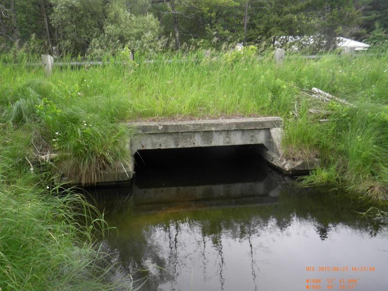
Inlet
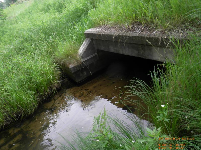
Outlet
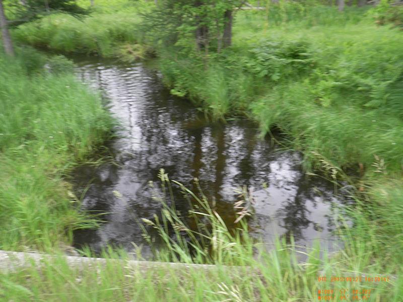
Upstream Conditions
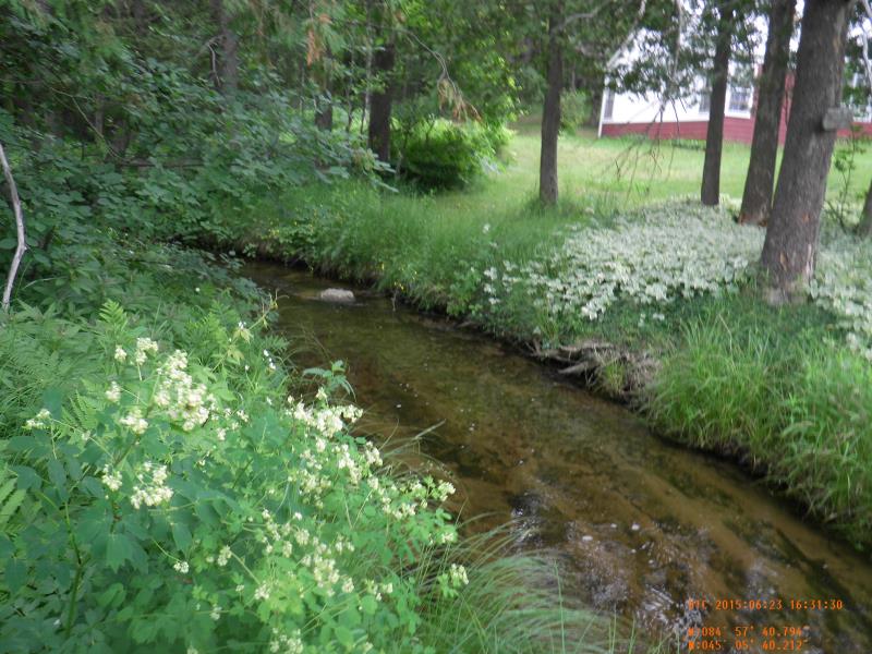
Downstream Conditions
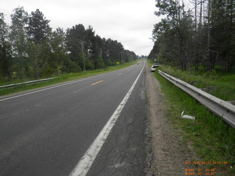
Road Approach - Left
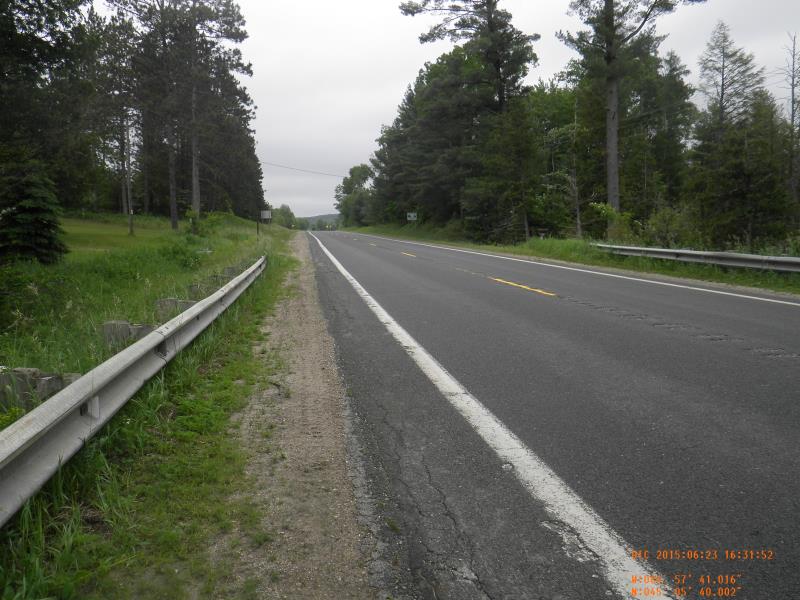
Road Approach - Right
Crossing Information
Type of Crossing: culvert(s)
Number of Structures: 1
Structure Shape: Open Bottom Square/Rectangle
Inlet Type: Headwall
Outlet Type: At Stream Grade
Structure Material: Concrete
Structure Substrate: Sand
General Conditions: Good
Structure Interior: corrugated
Dimensions of Structure: Length 59 ft.
, Width 8 ft.
, Height 2.9 ft.
Percentage Plugged:
Inlet: 51% to 75%
Structure Inlet
Water Depth: 3.1 ft.
Water Velocity*: 0.29 ft./sec.
Structure Outlet
Water Depth: 0.8 ft.
Water Velocity*: 0.94 ft./sec.
*Water Velocities were measured 1.86 ft. below Surface
(with Meter)
Additional Comments
1.5' am in culvert by inlet formed by clogging
Stream Information
Stream Flow: Less than Bankfull
Upstream Pond: Length 175 ft.
, Width 15 ft.
Riffle Information
Water Depth: 1.5 ft.
Bankfull Width: 15 ft.
Wetted Width: 14.25 ft.
Water Velocity: 0.4 ft./sec.
(Measured with Meter)
Dominant Substrate: Sand
Road Information
Paved
State Road
Road Condition: Good
Road Width at Culvert: 39 ft.
Location of Low Point: At Stream
Runoff Path: Ditch
Embankments
Upstream
Fill Depth: 2 ft.
Slope: 1:2
Downstream
Fill Depth: 2 ft.
Slope: 1:2
Approaches
Left Approach
Length: 300 ft.
Slope: 1% to 5%
Vegetation: Partial
LS Factor: 0.55
Erosion: 0.2127 tons/year
Right Approach
Length: 650 ft.
Slope: 1% to 5%
Vegetation: Partial
LS Factor: 0.698
Erosion: 0.5845 tons/year
Erosion Information
Total Erosion at Crossing: 0.7972 tons/year
Summary Information
Fish Passability 0.9
Fish Passage is an area of concern for this site.
culvert dam pretty much prevents passage. Formed by clogged debris. 1.5' waterfull inside
�