Road Stream Crossing Site Jordan_WI-21
Lake Charlevoix Watershed, Deer Creek
Pearsal Road
Charlevoix County
Information collected by:
Site Location
GPS Coordinates: 45.1356209832905
, -85.0805531332541
Fish Passability 0.5
Total Erosion: 0.1116 tons/year
Severity: Moderate
Year Inventoried: 2015
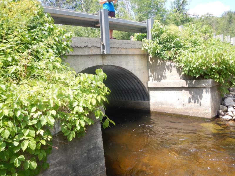
Inlet
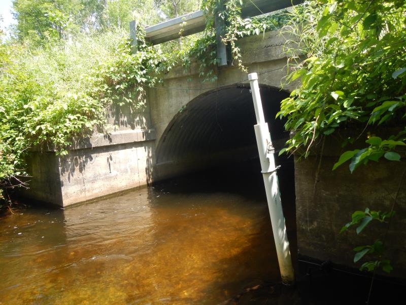
Outlet
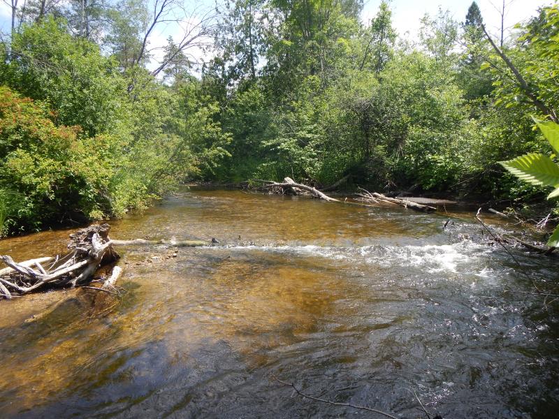
Upstream Conditions
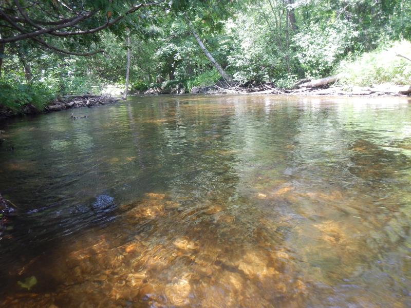
Downstream Conditions
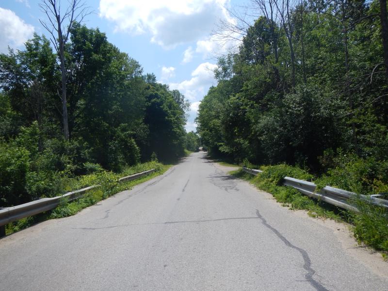
Road Approach - Left
Road Approach - Right
Crossing Information
Type of Crossing: Bridge
Structure Material: Concrete
Structure Substrate: Gravel
General Conditions: Good
Dimensions of Structure: Length 25 ft.
, Width 12 ft.
, Height 10 ft.
Structure Inlet
Water Depth: 3.8 ft.
Water Velocity*: 2.1 ft./sec.
Structure Outlet
Water Depth: 2.4 ft.
Water Velocity*: 1.05 ft./sec.
*Water Velocities were measured 2.28 ft. below Surface
(with Meter)
Additional Comments
cannot get structure water velocity reading directly in structure- too deep. Bridge narrower than river- slightly channeled
Stream Information
Stream Flow: Bankfull
Riffle Information
Water Depth: 0.85 ft.
Bankfull Width: 30 ft.
Wetted Width: 30 ft.
Water Velocity: 1.48 ft./sec.
Road Information
Paved
County Road
Road Condition: Good
Road Width at Culvert: 25 ft.
Location of Low Point: At Stream
Approaches
Left Approach
Length: 100 ft.
Slope: 1% to 5%
Vegetation: Partial
LS Factor: 0.39
Erosion: 0.0322 tons/year
Right Approach
Length: 200 ft.
Slope: 1% to 5%
Vegetation: Partial
LS Factor: 0.48
Erosion: 0.0793 tons/year
Erosion Information
Total Erosion at Crossing: 0.1116 tons/year
Summary Information
Fish Passability 0.5
�