Road Stream Crossing Site Jordan_WI-26
Lake Charlevoix Watershed, Nemecheck Creek
Rogers Rd
Charlevoix County
Information collected by:
Site Location
GPS Coordinates: 45.1324467782572
, -85.0244638850716
Owned by Private
Fish Passability 0.9
Total Erosion: 1.3251 tons/year
Severity: Moderate
Year Inventoried: 2015
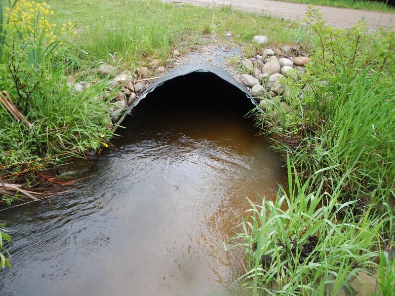
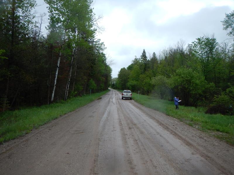
Inlet
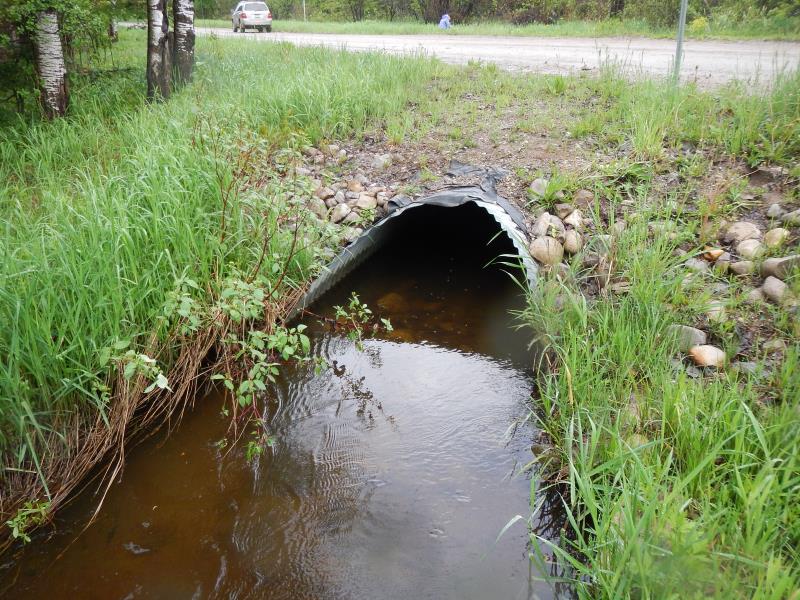
Outlet
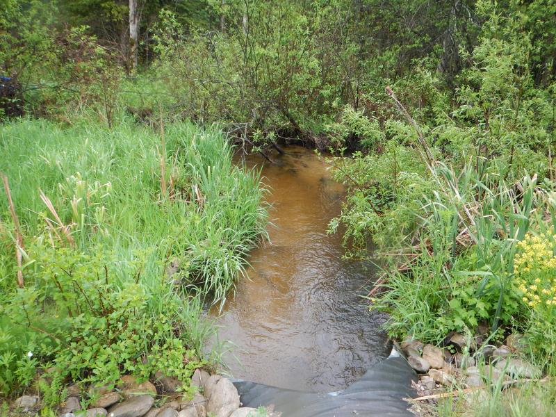
Upstream Conditions
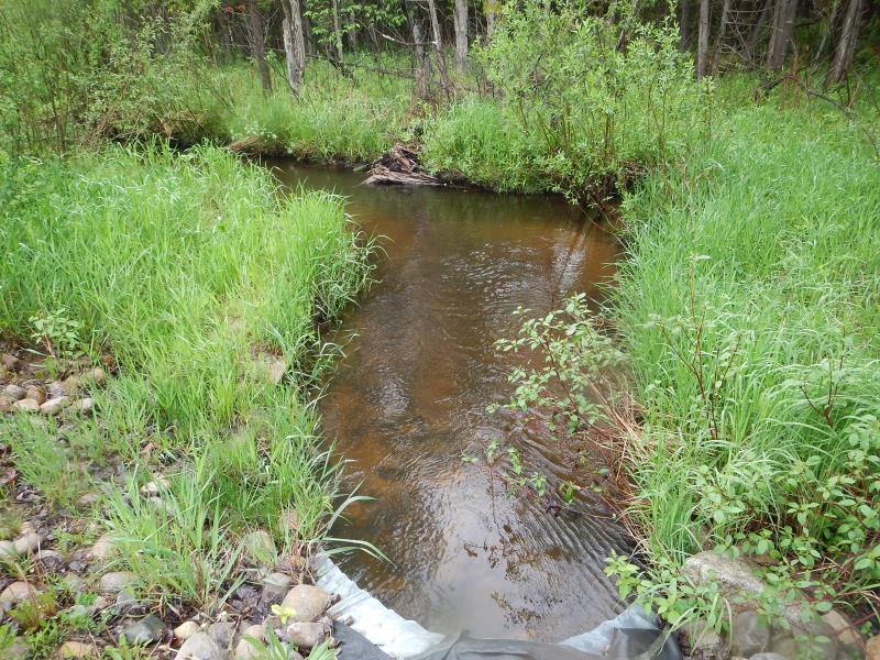
Downstream Conditions
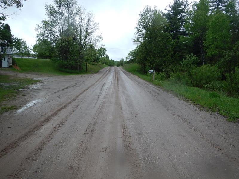
Road Approach - Left
Road Approach - Right
Crossing Information
Type of Crossing: culvert(s)
Number of Structures: 1
Structure Shape: Ellipse
Inlet Type: Mitered
Outlet Type: At Stream Grade
Structure Material: Metal
Structure Substrate: Sand
General Conditions: New
Structure Interior: corrugated
Dimensions of Structure: Length 57 ft.
, Width 3.5 ft.
, Height 3 ft.
Structure Inlet
Water Depth: 1.59 ft.
Embedded Depth of Structure: 0.33 ft.
Water Velocity*: 1.68 ft./sec.
Structure Outlet
Water Depth: 1.4 ft.
Embedded Depth of Structure: 0.4 ft.
Water Velocity*: 1.37 ft./sec.
*Water Velocities were measured 1.05 ft. below Surface
(with Meter)
Stream Information
Stream Flow: Less than Bankfull
Scour Pool: Length 0 ft.
, Width 0 ft.
, Depth 0 ft.
Upstream Pond: Length 0 ft.
, Width 0 ft.
, Depth 0 ft.
Riffle Information
Water Depth: 0.8 ft.
Bankfull Width: 7.5 ft.
Wetted Width: 7.5 ft.
Water Velocity: 1.15 ft./sec.
(Measured with Meter)
Dominant Substrate: Sand
Road Information
Sand
County Road
Road Condition: Good
Road Width at Culvert: 37 ft.
Location of Low Point: At Stream
Runoff Path: Roadway
Embankments
Upstream
Fill Depth: 0.83 ft.
Slope: More than 1:2
Downstream
Fill Depth: 0.67 ft.
Slope: More than 1:2
Approaches
Left Approach
Length: 250 ft.
Slope: 1% to 5%
Vegetation: Partial
LS Factor: 0.52
Erosion: 1.3251 tons/year
Right Approach
Length: 0 ft.
Slope: Less Than 1%
Vegetation: Heavy
LS Factor: 0.05
Erosion: 0 tons/year
Erosion Information
Total Erosion at Crossing: 1.3251 tons/year
Notes: erosion listed: located above upstream culvert
Summary Information
Fish Passability 0.9
�