Road Stream Crossing Site Jordan_WI-27
Lake Charlevoix Watershed, Deer Creek
Bergman Rd
Charlevoix County
Information collected by:
Site Location
GPS Coordinates: 45.1383619962871
, -85.0397088467015
Total Erosion: 0.8043 tons/year
Severity: Moderate
Year Inventoried: 2015
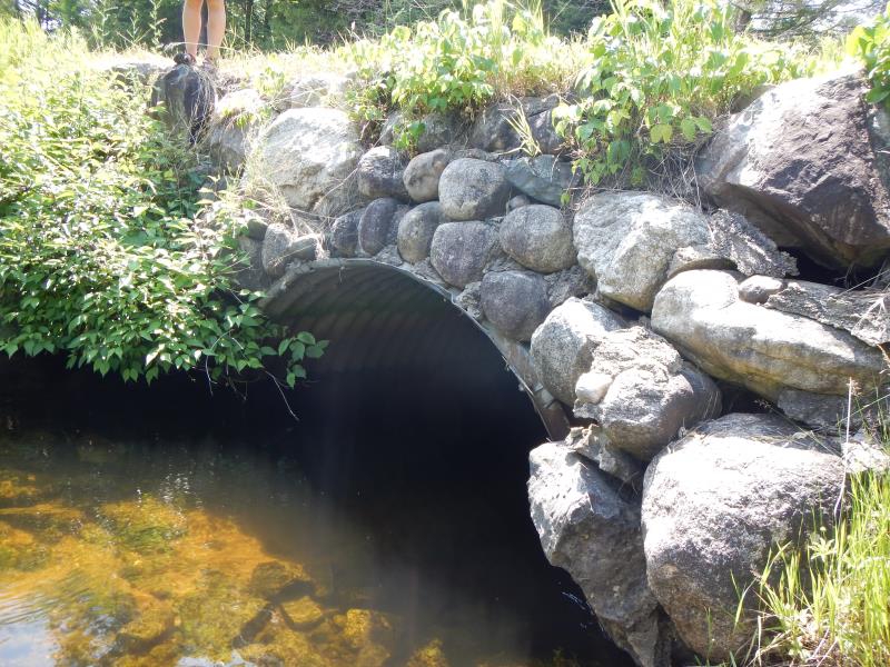
Inlet
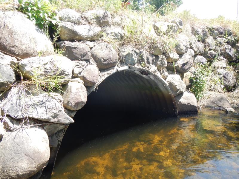
Outlet
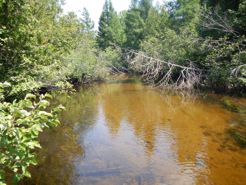
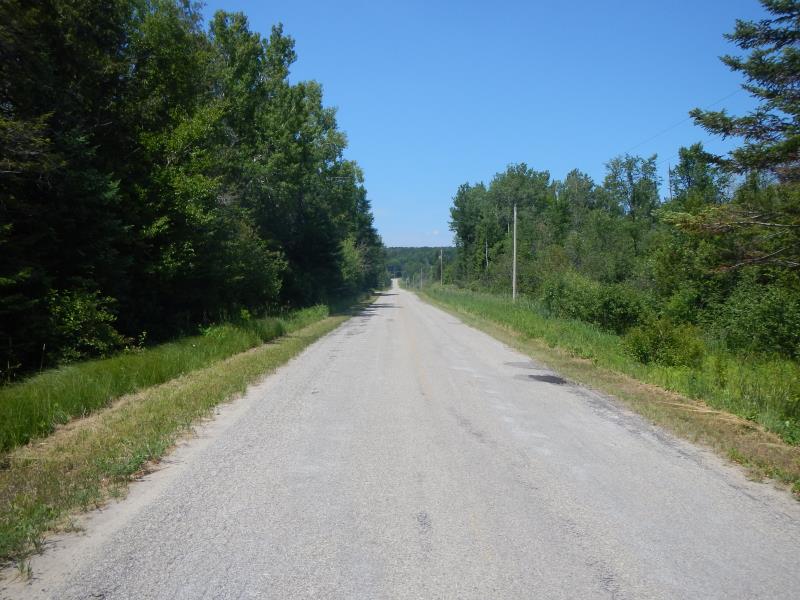
Upstream Conditions
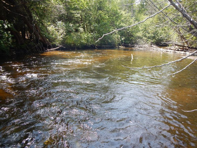
Downstream Conditions
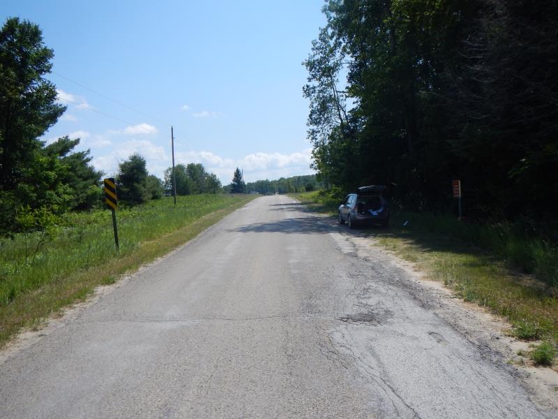
Road Approach - Left
Road Approach - Right
Crossing Information
Type of Crossing: culvert(s)
Number of Structures: 1
Structure Shape: Open Bottom Arch
Inlet Type: Projecting
Outlet Type: At Stream Grade
Structure Material: Metal
Structure Substrate: None
General Conditions: Good
Structure Interior: corrugated
Dimensions of Structure: Length 29 ft.
, Width 10 ft.
, Height 4.5 ft.
Structure Inlet
Water Depth: 2.4 ft.
Water Velocity*: 1.9 ft./sec.
Structure Outlet
Water Depth: 2.3 ft.
Water Velocity*: 1.85 ft./sec.
*Water Velocities were measured 1.44 ft. below Surface
(with Meter)
Stream Information
Stream Flow: More than Bankfull
Riffle Information
Water Depth: 2.05 ft.
Bankfull Width: 28.5 ft.
Wetted Width: 28 ft.
Water Velocity: 1.25 ft./sec.
(Measured with Meter)
Dominant Substrate: Sand
Road Information
Paved
County Road
Road Condition: Fair
Road Width at Culvert: 29 ft.
Location of Low Point: At Stream
Runoff Path: Roadway
Slope: Vertical
Slope: Vertical
Approaches
Left Approach
Length: 100 ft.
Slope: 1% to 5%
Vegetation: Partial
LS Factor: 0.39
Erosion: 0.0374 tons/year
Right Approach
Length: 1000 ft.
Slope: 1% to 5%
Vegetation: Partial
LS Factor: 0.8
Erosion: 0.7669 tons/year
Erosion Information
Total Erosion at Crossing: 0.8043 tons/year
Extent of Erosion: Moderate
Summary Information
Erosion is an area of concern for this site.
�