Road Stream Crossing Site Jordan_WI-28
Lake Charlevoix Watershed, Deer Creek
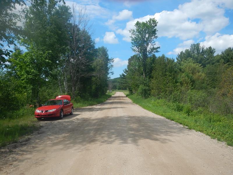
Fuller Road
Charlevoix County
Information collected by:
Site Location
GPS Coordinates: 45.1438578713698
, -85.055134562786
Total Erosion: 38.4132 tons/year
Severity: Severe
Year Inventoried: 2015
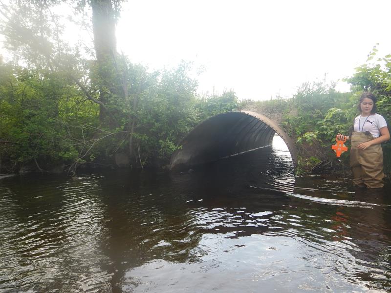
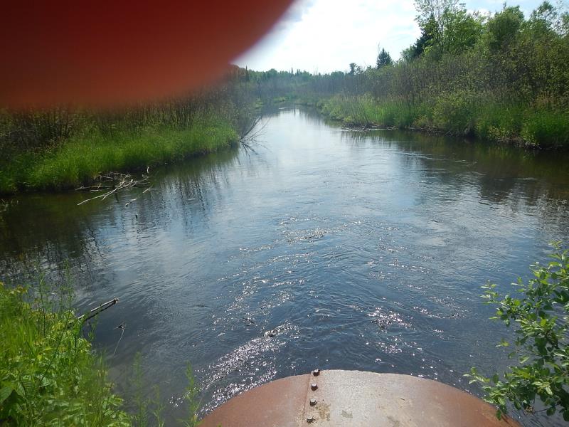
Inlet
Outlet
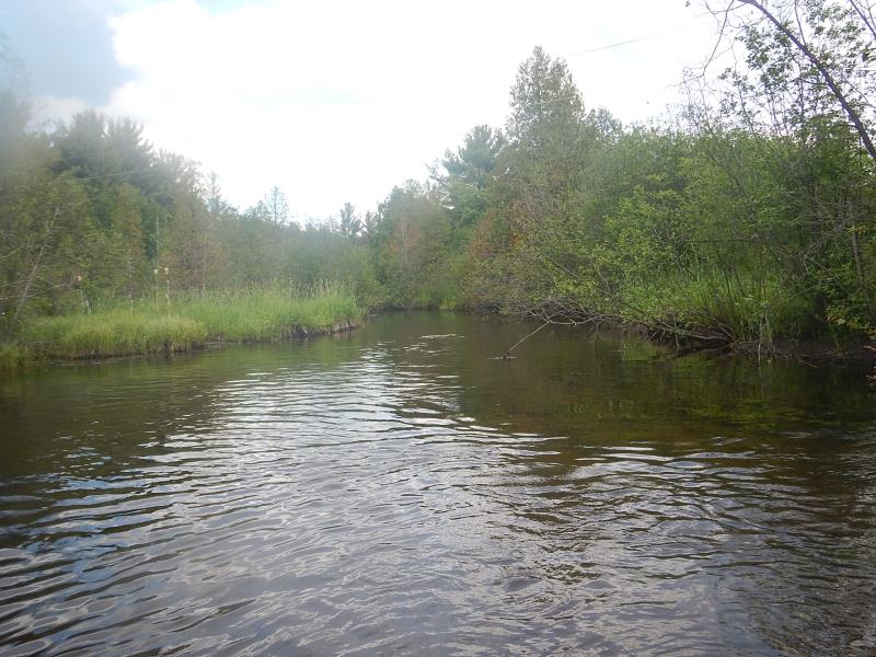
Upstream Conditions
Downstream Conditions
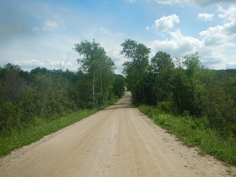
Road Approach - Left
Road Approach - Right
Crossing Information
Type of Crossing: culvert(s)
Number of Structures: 1
Structure Shape: Round
Inlet Type: Projecting
Outlet Type: At Stream Grade
Structure Material: Metal
Structure Substrate: Mixture
General Conditions: Fair
Structure Interior: smooth
Dimensions of Structure: Length 33 ft.
, Width 7 ft.
, Height 7 ft.
Structure Inlet
Water Depth: 2.42 ft.
Water Velocity*: 2.9 ft./sec.
Structure Outlet
Water Depth: 2.08 ft.
Water Velocity*: 3.1 ft./sec.
(with Meter)
Stream Information
Stream Flow: Bankfull
Scour Pool: Length 40 ft.
, Width 20 ft.
, Depth 20 ft.
Upstream Pond: Length 30 ft.
, Width 25 ft.
, Depth 6 ft.
Riffle Information
Water Depth: 2 ft.
Bankfull Width: 26.17 ft.
Wetted Width: 26.17 ft.
Water Velocity: 0.89 ft./sec.
(Measured with Meter)
Dominant Substrate: Silt
Road Information
Sand
County Road
Road Condition: Fair
Road Width at Culvert: 24 ft.
Location of Low Point: At Stream
Runoff Path: Roadway
Embankments
Upstream
Fill Depth: 1.25 ft.
Slope: 1:1.5
Downstream
Fill Depth: 2 ft.
Slope: 1:1.5
Approaches
Left Approach
Length: 1000 ft.
Slope: More Than 10%
Vegetation: Partial
LS Factor: 5.785
Erosion: 38.2479 tons/year
Right Approach
Length: 300 ft.
Slope: Less Than 1%
Vegetation: Partial
LS Factor: 0.05
Erosion: 0.1653 tons/year
Erosion Information
Total Erosion at Crossing: 38.4132 tons/year
Extent of Erosion: Severe
Erosion is occurring and corrective actions can be installed to address the problem.
Location of Erosion | Erosion Dimensions | Eroded Material | Material Eroded | Total Erosion | ||
facing downstream | Length | Width | Depth | Reaching Stream? | (tons/year) | |
Right Downstream Embankment |
6 ft. |
1 ft. |
4 ft. |
yes |
Sand |
|
Summary Information
Fish Passage is an area of concern for this site.
current too strong. not much buffer from road to river either, for erosion
A future visit to this site is recommended.
narrowed culvert. Cannot handle current of river
�