Road Stream Crossing Site Jordan_WI-3
Lake Charlevoix Watershed, Deer Creek
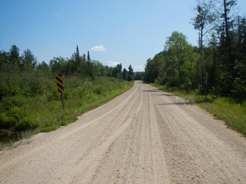
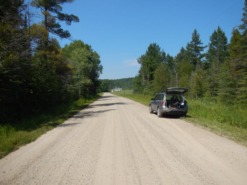
Marvon Rd
Charlevoix County
Information collected by:
Site Location
GPS Coordinates: 45.136345662637
, -85.0194636667154
Fish Passability 0.5
Total Erosion: 5.3223 tons/year
Severity: Severe
Year Inventoried: 2015
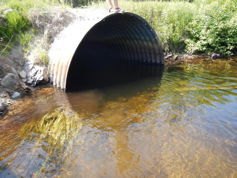
Inlet
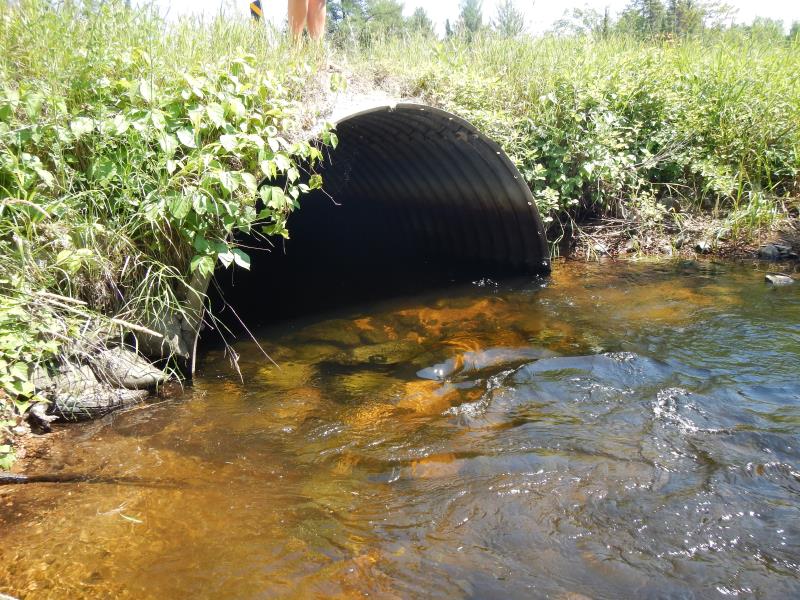
Outlet
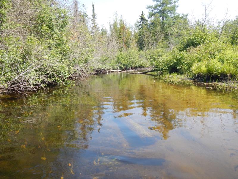
Upstream Conditions
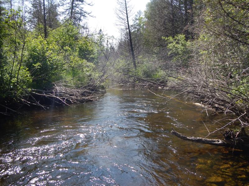
Downstream Conditions
Road Approach - Left
Road Approach - Right
Crossing Information
Type of Crossing: culvert(s)
Number of Structures: 1
Structure Shape: Round
Inlet Type: Projecting
Outlet Type: At Stream Grade
Structure Material: Metal
Structure Substrate: None
General Conditions: Good
Structure Interior: corrugated
Dimensions of Structure: Length 30 ft.
, Width 8 ft.
, Height 8 ft.
Structure Inlet
Water Depth: 2.4 ft.
Water Velocity*: 1.55 ft./sec.
Structure Outlet
Water Depth: 2.1 ft.
Water Velocity*: 1.7 ft./sec.
*Water Velocities were measured 1.44 ft. below Surface
(with Meter)
Stream Information
Stream Flow: Bankfull
Riffle Information
Water Depth: 2.55 ft.
Bankfull Width: 28 ft.
Wetted Width: 27 ft.
Water Velocity: 0.9 ft./sec.
(Measured with Meter)
Dominant Substrate: Sand
Road Information
Gravel
County Road
Road Condition: Good
Road Width at Culvert: 21 ft.
Location of Low Point: At Stream
Embankments
Upstream
Fill Depth: 1.5 ft.
Slope: More than 1:2
Downstream
Fill Depth: 1 ft.
Slope: 1:2
Approaches
Left Approach
Length: 800 ft.
Slope: 1% to 5%
Vegetation: Partial
LS Factor: 0.75
Erosion: 3.4711 tons/year
Right Approach
Length: 500 ft.
Slope: 1% to 5%
Vegetation: Partial
LS Factor: 0.64
Erosion: 1.8512 tons/year
Erosion Information
Total Erosion at Crossing: 5.3223 tons/year
Extent of Erosion: Minor
Erosion is occurring and corrective actions can be installed to address the problem.
Notes: location: above culvert upstream; gravelly loam
Summary Information
Fish Passability 0.5
�