Road Stream Crossing Site Jordan_WI-30
Lake Charlevoix Watershed, Unnamed tributary to Brown Creek
State Street
Charlevoix County
Information collected by:
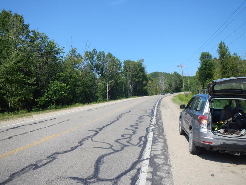
Site Location
GPS Coordinates: 45.1509247494487
, -85.0970914238696
Fish Passability 0.9
Severity: Minor
Year Inventoried: 2015
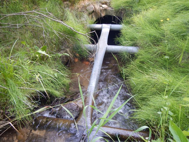
Inlet
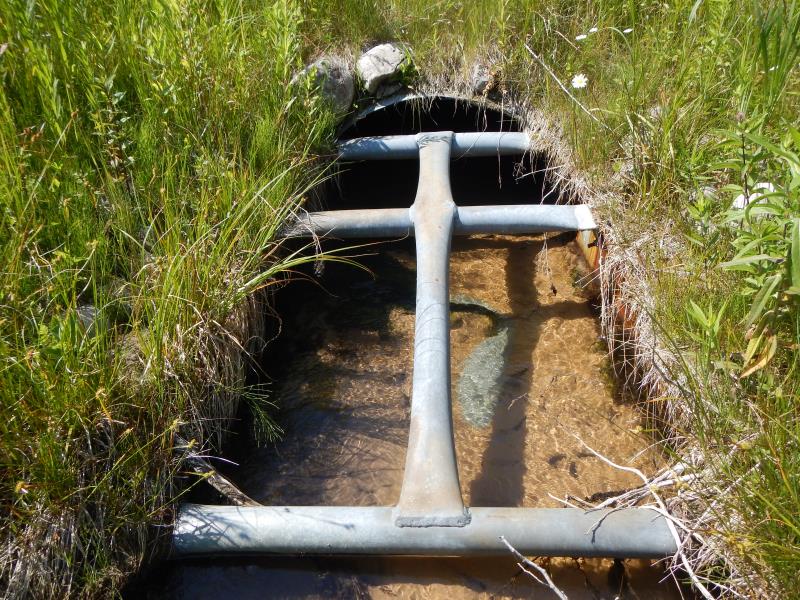
Outlet
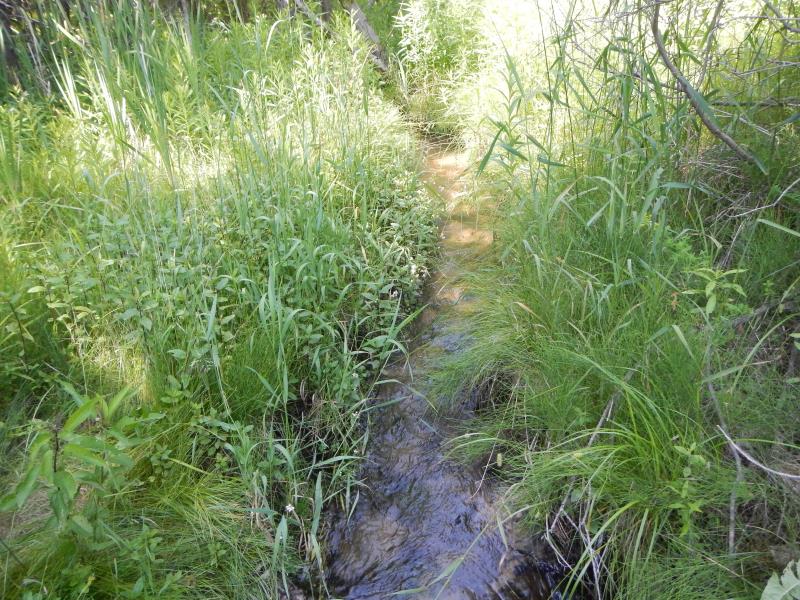
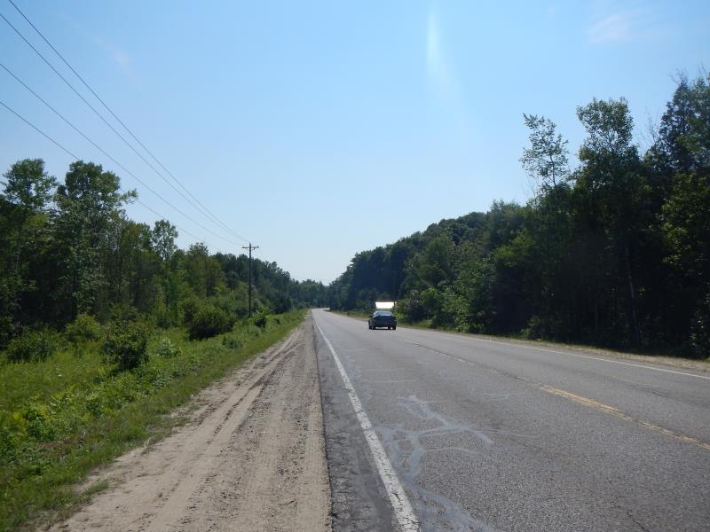
Upstream Conditions
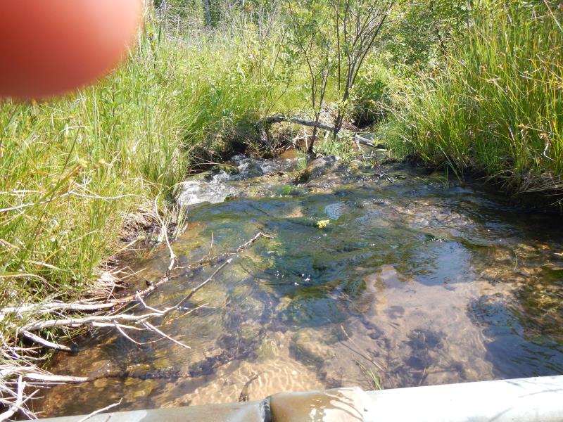
Downstream Conditions
Road Approach - Left
Road Approach - Right
Crossing Information
Type of Crossing: culvert(s)
Number of Structures: 1
Structure Shape: Round
Inlet Type: Trash Rack
Outlet Type: Outlet Apron
Structure Material: Metal
Structure Substrate: Sand
General Conditions: Good
Dimensions of Structure: Length 50 ft.
, Width 4 ft.
, Height 3 ft.
Structure Inlet
Water Depth: 0.5 ft.
Embedded Depth of Structure: 0.17 ft.
Water Velocity*: 1 ft./sec.
Structure Outlet
Water Depth: 0.45 ft.
Embedded Depth of Structure: 0.17 ft.
Water Velocity*: 0.9 ft./sec.
*Water Velocities were measured 0.3 ft. below Surface
(with Meter)
Stream Information
Stream Flow: Less than Bankfull
Riffle Information
Water Depth: 0.65 ft.
Bankfull Width: 2 ft.
Wetted Width: 2 ft.
Water Velocity: 1.8 ft./sec.
(Measured with Meter)
Dominant Substrate: Sand
Road Information
Paved
County Road
Road Condition: Good
Road Width at Culvert: 30 ft.
Location of Low Point: At Stream
Runoff Path: Roadway
Embankments
Upstream
Fill Depth: 8 ft.
Slope: 1:1.5
Downstream
Fill Depth: 8 ft.
Slope: 1:1.5
Length: 200 ft.
Slope: Less Than 1%
Length: 600 ft.
Slope: 1% to 5%
Erosion Information
Summary Information
Fish Passability 0.9
�