Road Stream Crossing Site Jordan_WI-31
Lake Charlevoix Watershed, Deer Creek
Deer Lake Road
Charlevoix County
Information collected by:
Site Location
GPS Coordinates: 45.1551909477372
, -84.9811346605633
Fish Passability 0.9
Total Erosion: 0.6429 tons/year
Severity: Moderate
Year Inventoried: 2015
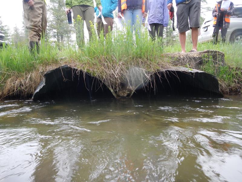
Inlet
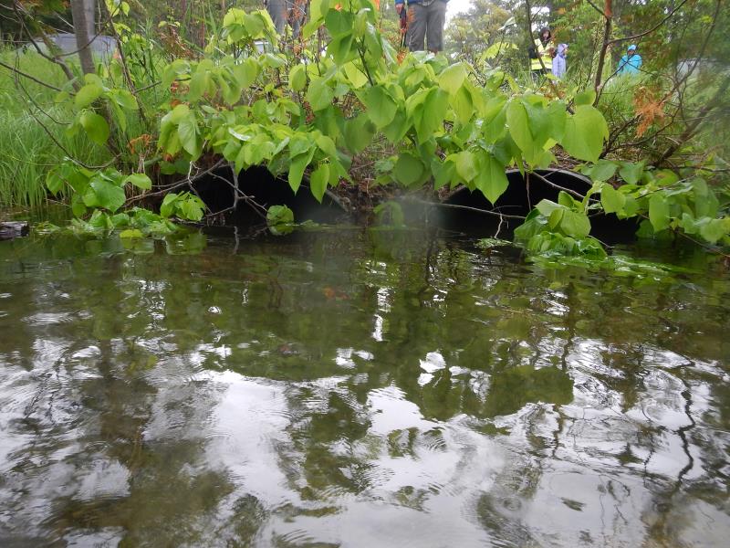
Outlet
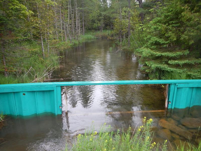
Upstream Conditions
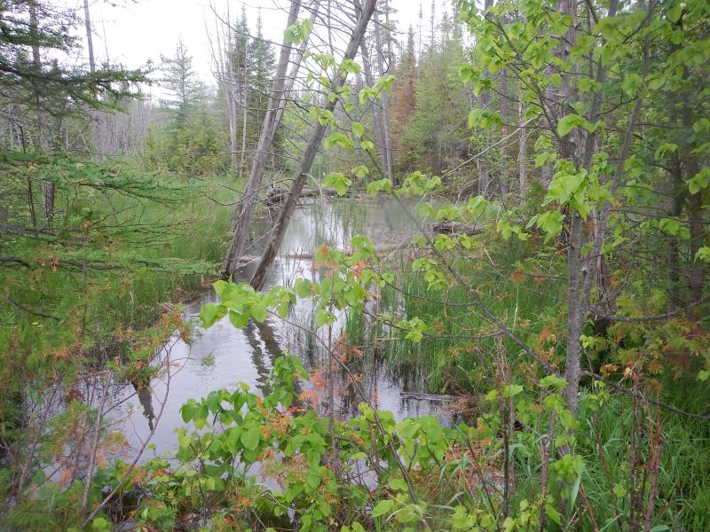
Downstream Conditions
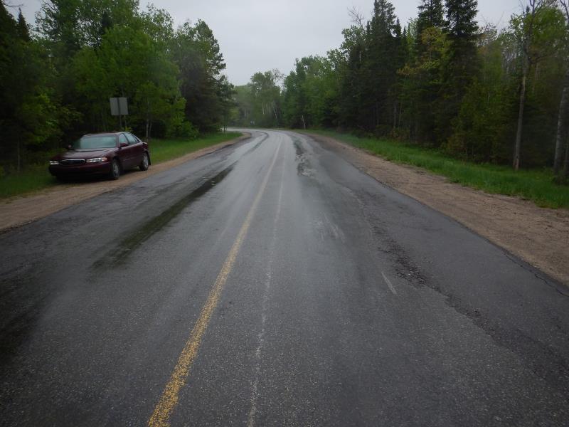
Road Approach - Left
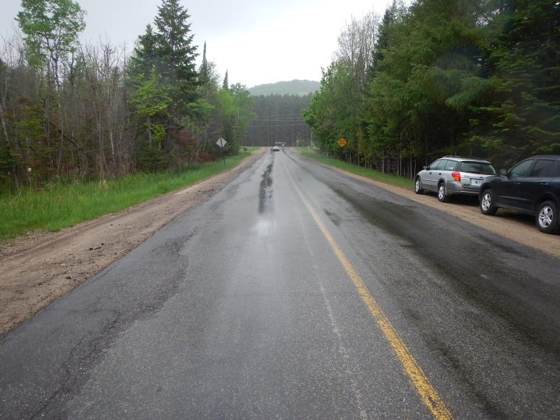
Road Approach - Right
Crossing Information
Type of Crossing: culvert(s)
Number of Structures: 2
Structure Shape: Round
Inlet Type: Projecting
Outlet Type: At Stream Grade
Structure Material: Metal
Structure Substrate: Mixture
General Conditions: Fair
Multiple Culverts/Spans | ||||
Culvert/Span | Width | Length | Height | Material |
1 |
3.83 ft. |
72 ft. |
3.83 ft. |
Metal |
2 |
3.92 ft. |
72 ft. |
3.33 ft. |
Metal |
Structure Interior: corrugated
Dimensions of Structure: Length 72 ft.
, Width 4 ft.
, Height 4 ft.
Structure Inlet
Water Depth: 2.58 ft.
Embedded Depth of Structure: 0.25 ft.
Water Velocity*: 0.3 ft./sec.
Structure Outlet
Water Depth: 2.29 ft.
Embedded Depth of Structure: 0.67 ft.
Water Velocity*: 0.55 ft./sec.
(with Meter)
Additional Comments
beaver dams downstream
Stream Information
Stream Flow: Bankfull
Scour Pool: Length 0 ft.
, Width 0 ft.
, Depth 0 ft.
Upstream Pond: Length 0 ft.
, Width 0 ft.
, Depth 0 ft.
Riffle Information
Water Depth: 1.18 ft.
Bankfull Width: 22.33 ft.
Wetted Width: 22.33 ft.
Water Velocity: 1.72 ft./sec.
Road Information
Paved
County Road
Road Condition: Good
Road Width at Culvert: 44 ft.
Location of Low Point: At Stream
Runoff Path: Ditch
Embankments
Upstream
Fill Depth: 2 ft.
Slope: More than 1:2
Downstream
Fill Depth: 2 ft.
Slope: More than 1:2
Approaches
Left Approach
Length: 400 ft.
Slope: 1% to 5%
Vegetation: Heavy
LS Factor: 0.48
Erosion: 0.2793 tons/year
Right Approach
Length: 500 ft.
Slope: 1% to 5%
Vegetation: Heavy
LS Factor: 0.5
Erosion: 0.3636 tons/year
Erosion Information
Total Erosion at Crossing: 0.6429 tons/year
Extent of Erosion: Minor
Erosion is occurring and corrective actions can be installed to address the problem.
Notes: location directions above, respectively:
"approach upstream left and right"
"approach downstream left and right"
"streambank upstream right"
shoulder erosion upstream side
Summary Information
Fish Passability 0.9
A future visit to this site is recommended. check erosion
�