Road Stream Crossing Site Jordan_WI-33
Lake Charlevoix Watershed, Deer Creek
Barber Rd
Charlevoix County
Information collected by:
Site Location
GPS Coordinates: 45.1477141582564
, -84.9885635543564
Fish Passability 0
Total Erosion: 0.6535 tons/year
Severity: Severe
Year Inventoried: 2015
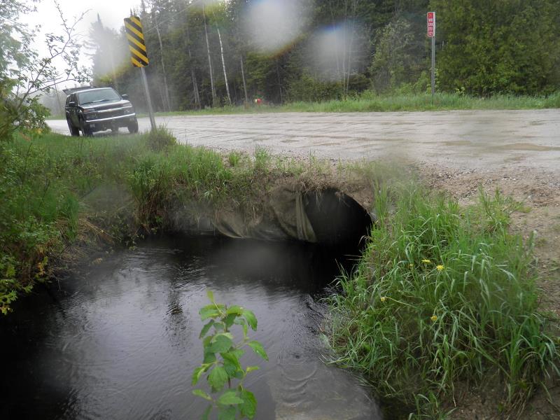
Inlet
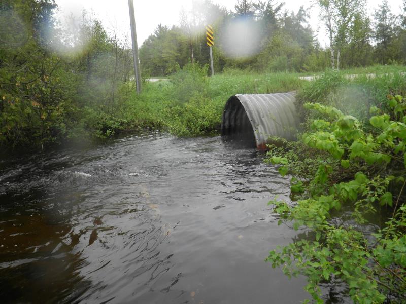
Outlet
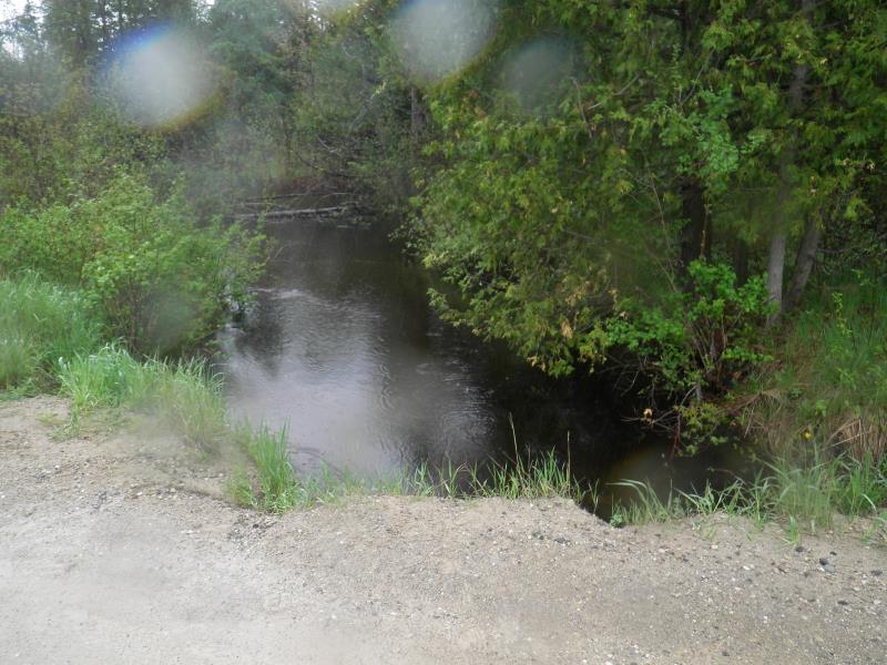
Upstream Conditions
Downstream Conditions
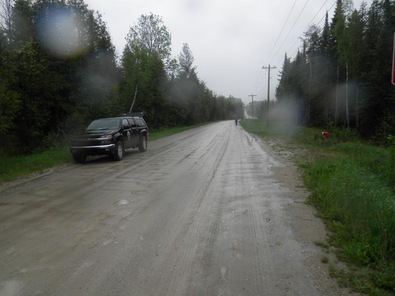
Road Approach - Left
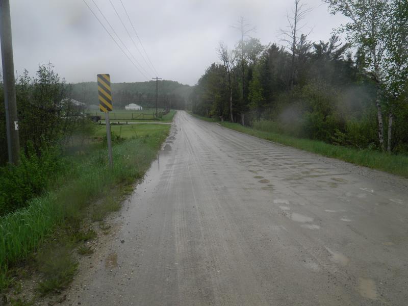
Road Approach - Right
Crossing Information
Type of Crossing: culvert(s)
Number of Structures: 1
Structure Shape: Round
Inlet Type: Projecting
Outlet Type: At Stream Grade
Structure Material: Metal
Structure Substrate: Gravel
General Conditions: Fair
Structure Interior: corrugated
Dimensions of Structure: Length 30 ft.
, Width 6 ft.
, Height 5 ft.
Structure Inlet
Water Depth: 2 ft.
Embedded Depth of Structure: 0.42 ft.
Water Velocity*: 4.8 ft./sec.
Structure Outlet
Water Depth: 1.75 ft.
Embedded Depth of Structure: 0.08 ft.
Water Velocity*: 6.5 ft./sec.
*Water Velocities were measured 1 ft. below Surface
(with Meter)
Stream Information
Stream Flow: Bankfull
Scour Pool: Length 0 ft.
, Width 0 ft.
, Depth 0 ft.
Upstream Pond: Length 0 ft.
, Width 0 ft.
, Depth 0 ft.
Riffle Information
Water Depth: 3.75 ft.
Bankfull Width: 27 ft.
Wetted Width: 27 ft.
Water Velocity: 0.9 ft./sec.
Road Information
Gravel
County Road
Road Condition: Fair
Road Width at Culvert: 23 ft.
Location of Low Point: At Stream
Runoff Path: Roadway
Embankments
Upstream
Fill Depth: 1 ft.
Slope: Vertical
Downstream
Fill Depth: 1 ft.
Slope: 1:2
Approaches
Left Approach
Length: 200 ft.
Slope: Less Than 1%
Vegetation: Partial
LS Factor: 0.05
Erosion: 0.0634 tons/year
Right Approach
Length: 1000 ft.
Slope: Less Than 1%
Vegetation: Partial
LS Factor: 0.06
Erosion: 0.3802 tons/year
Erosion Information
Total Erosion at Crossing: 0.6535 tons/year
Extent of Erosion: Moderate
Notes: needs longer culvert. Sandbags in place. The second erosion listed is directly about the downstream culvert
Location of Erosion | Erosion Dimensions | Eroded Material | Material Eroded | Total Erosion | ||
facing downstream | Length | Width | Depth | Reaching Stream? | (tons/year) | |
Right Upstream Embankment |
30 ft. |
10 ft. |
1 ft. |
yes |
Gravel |
0.21 |
Summary Information
Fish Passability 0
Erosion is an area of concern for this site.
moderate erosion
A future visit to this site is recommended. erosion
�