Road Stream Crossing Site Jordan_WI-34
Lake Charlevoix Watershed, Warner Creek
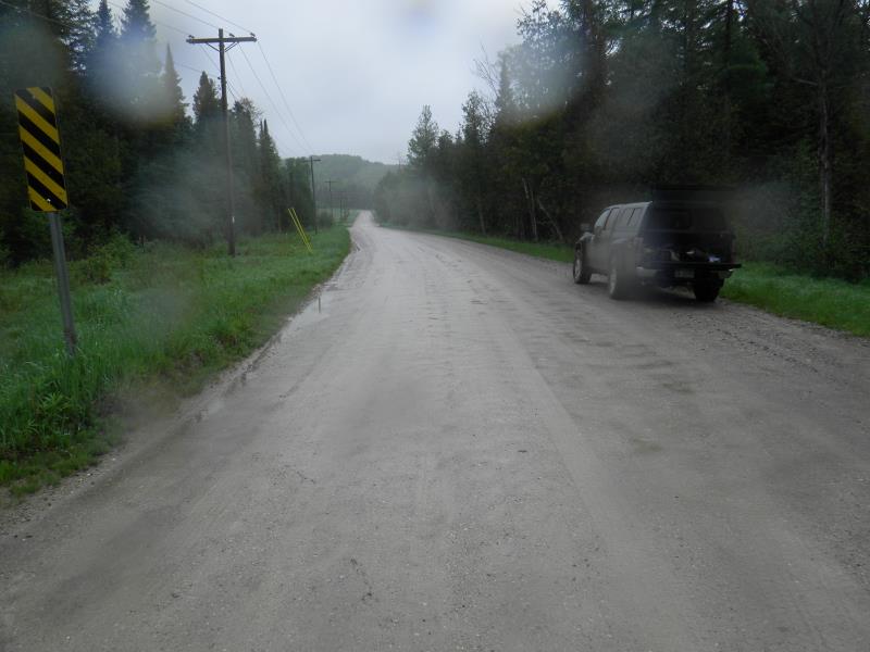
Barber Rd
Charlevoix County
Information collected by:
Site Location
GPS Coordinates: 45.1461771623607
, -84.9886119666518
Fish Passability 0.5
Total Erosion: 0.3485 tons/year
Severity: Moderate
Year Inventoried: 2015
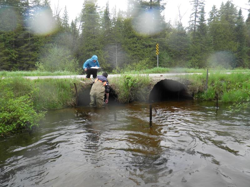
Inlet
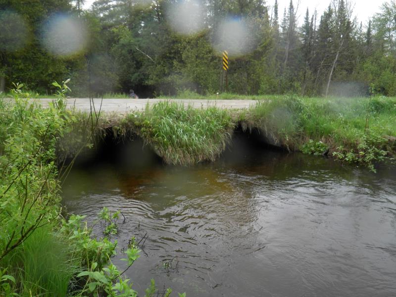
Outlet
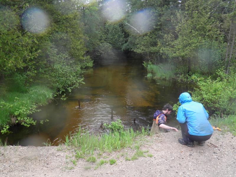
Upstream Conditions
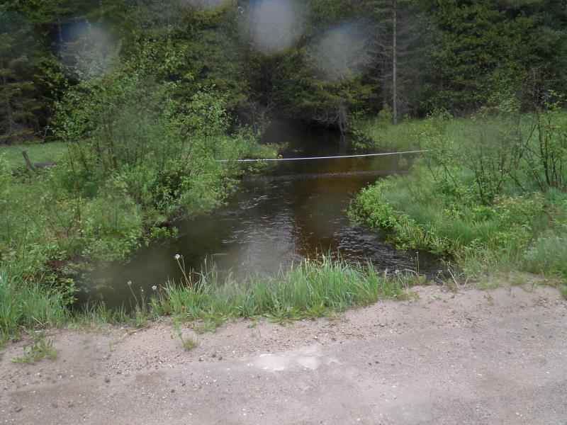
Downstream Conditions
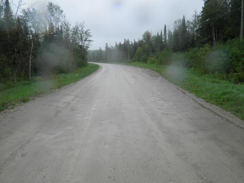
Road Approach - Left
Road Approach - Right
Crossing Information
Type of Crossing: culvert(s)
Number of Structures: 2
Structure Shape: Round
Inlet Type: Mitered
Outlet Type: At Stream Grade
Structure Material: Metal
Structure Substrate: Sand
General Conditions: Good
Multiple Culverts/Spans | ||||
Culvert/Span | Width | Length | Height | Material |
1 |
6 ft. |
27.5 ft. |
4 ft. |
Metal |
2 |
6 ft. |
27.5 ft. |
4 ft. |
Metal |
Structure Interior: corrugated
Dimensions of Structure: Length 27.5 ft.
Structure Inlet
Water Depth: 1.33 ft.
Embedded Depth of Structure: 0.08 ft.
Water Velocity*: 2.5 ft./sec.
Structure Outlet
Water Depth: 1.25 ft.
Embedded Depth of Structure: 0.17 ft.
Water Velocity*: 2.3 ft./sec.
*Water Velocities were measured 0.66 ft. below Surface
Stream Information
Stream Flow: Less than Bankfull
Scour Pool: Length 0 ft.
, Width 0 ft.
, Depth 0 ft.
Upstream Pond: Length 0 ft.
, Width 0 ft.
, Depth 0 ft.
Riffle Information
Water Depth: 1.8 ft.
Bankfull Width: 20 ft.
Wetted Width: 20 ft.
Water Velocity: 1.6 ft./sec.
Road Information
Gravel
County Road
Road Width at Culvert: 27.5 ft.
Location of Low Point: At Stream
Runoff Path: Roadway
Embankments
Upstream
Fill Depth: 0.5 ft.
Slope: More than 1:2
Downstream
Fill Depth: 0.5 ft.
Slope: More than 1:2
Approaches
Left Approach
Length: 600 ft.
Slope: Less Than 1%
Vegetation: Partial
LS Factor: 0.06
Erosion: 0.2727 tons/year
Right Approach
Length: 200 ft.
Slope: Less Than 1%
Vegetation: Partial
LS Factor: 0.05
Erosion: 0.0758 tons/year
Erosion Information
Total Erosion at Crossing: 0.3485 tons/year
Extent of Erosion: Moderate
Notes: erosion listed location: top input culverts
Summary Information
Fish Passability 0.5
Erosion is an area of concern for this site.
close to road
�