Road Stream Crossing Site Jordan_WI-36
Lake Charlevoix Watershed, Warner Creek
Korthage Rd
Charlevoix County
Information collected by:
Site Location
GPS Coordinates: 45.1419084712209
, -84.9784668907916
Fish Passability 0
Perch Height: 5 ft.
Severity: Severe
Year Inventoried: 2015
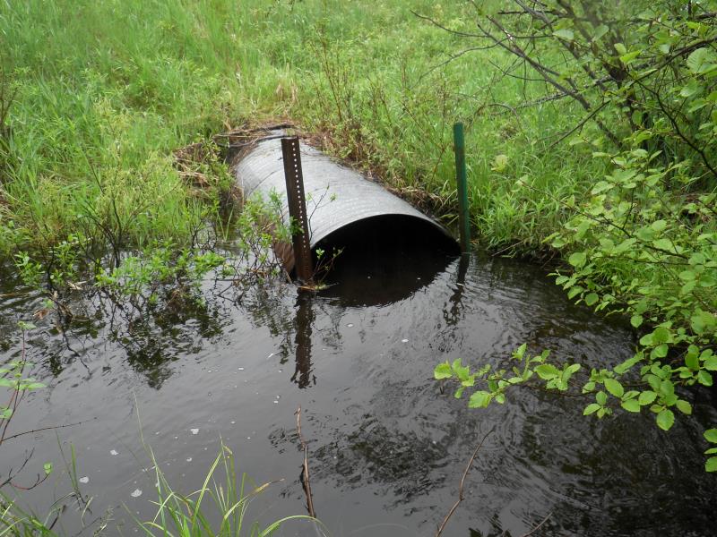
Inlet
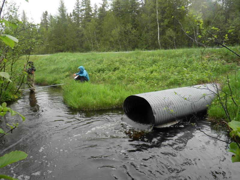
Outlet
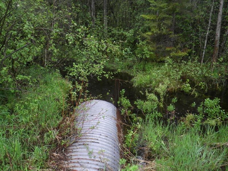
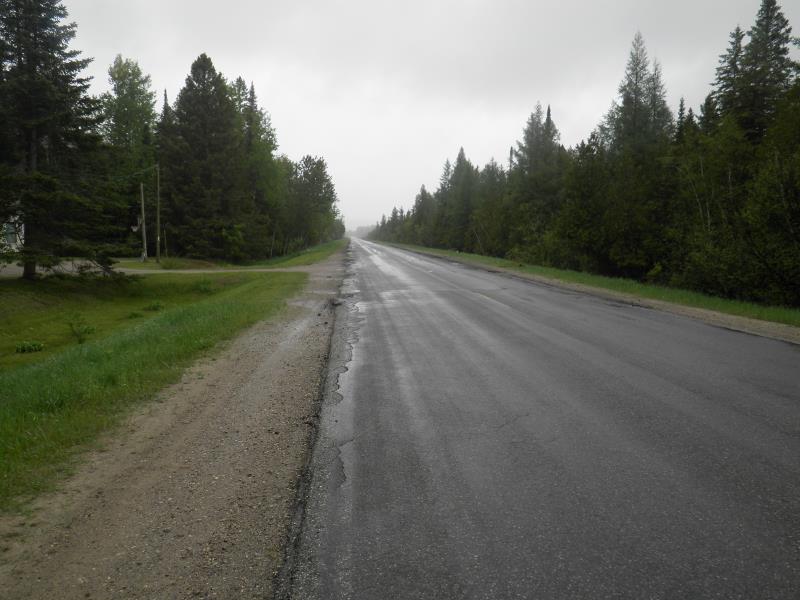
Upstream Conditions
Downstream Conditions
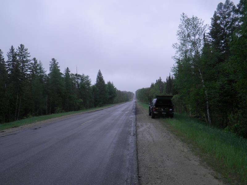
Road Approach - Left
Road Approach - Right
Crossing Information
Type of Crossing: culvert(s)
Number of Structures: 1
Structure Shape: Round
Inlet Type: Projecting
Outlet Type: Freefall into Pool
Structure Material: Metal
General Conditions: Good
Structure Interior: corrugated
Dimensions of Structure: Length 85 ft.
, Width 3.17 ft.
, Height 2.5 ft.
Perch Height: 5 ft.
Structure Inlet
Water Depth: 1.42 ft.
Embedded Depth of Structure: 0 ft.
Water Velocity*: 1.7 ft./sec.
Structure Outlet
Water Depth: 0.83 ft.
Embedded Depth of Structure: 0 ft.
Water Velocity*: 6 ft./sec.
*Water Velocities were measured 0.71 ft. below Surface
Stream Information
Stream Flow: More than Bankfull
Scour Pool: Length 20 ft.
, Width 20 ft.
, Depth 6 ft.
Upstream Pond: Length 10 ft.
, Width 10 ft.
Riffle Information
Water Depth: 1.3 ft.
Bankfull Width: 7.25 ft.
Wetted Width: 7 ft.
Water Velocity: 0.9 ft./sec.
(Measured with Meter)
Dominant Substrate: Sand
Road Information
Paved
County Road
Road Condition: Fair
Road Width at Culvert: 33 ft.
Runoff Path: Ditch
Embankments
Upstream
Fill Depth: 3.75 ft.
Slope: 1:2
Downstream
Fill Depth: 3.33 ft.
Slope: 1:2
Length: 3000 ft.
Slope: 1% to 5%
Vegetation: Partial
Length: 400 ft.
Slope: Less Than 1%
Vegetation: Partial
Erosion Information
Notes: none
Summary Information
Fish Passability 0
Fish Passage is an area of concern for this site.
high flow and perch
A future visit to this site is recommended. fish passage
�