Road Stream Crossing Site Jordan_WI-37
Lake Charlevoix Watershed, Marvon Creek
Marvon Rd
Charlevoix County
Information collected by:
Site Location
GPS Coordinates: 45.1181531229899
, -85.0146764544256
Owned by Private
Fish Passability 0
Perch Height: 0.18 ft.
Total Erosion: 4.9703 tons/year
Severity: Severe
Year Inventoried: 2015
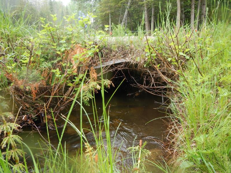
Inlet
Outlet
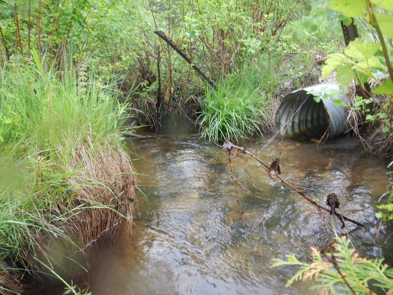
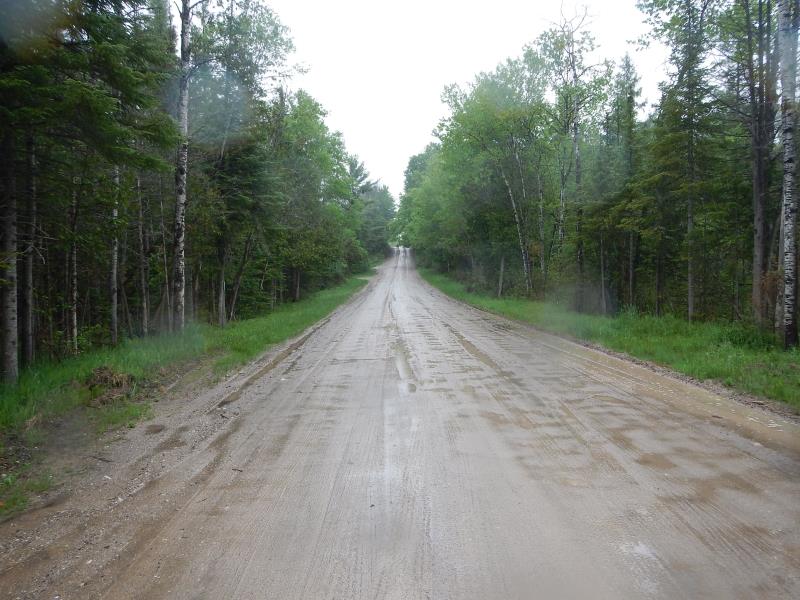
Upstream Conditions
Downstream Conditions
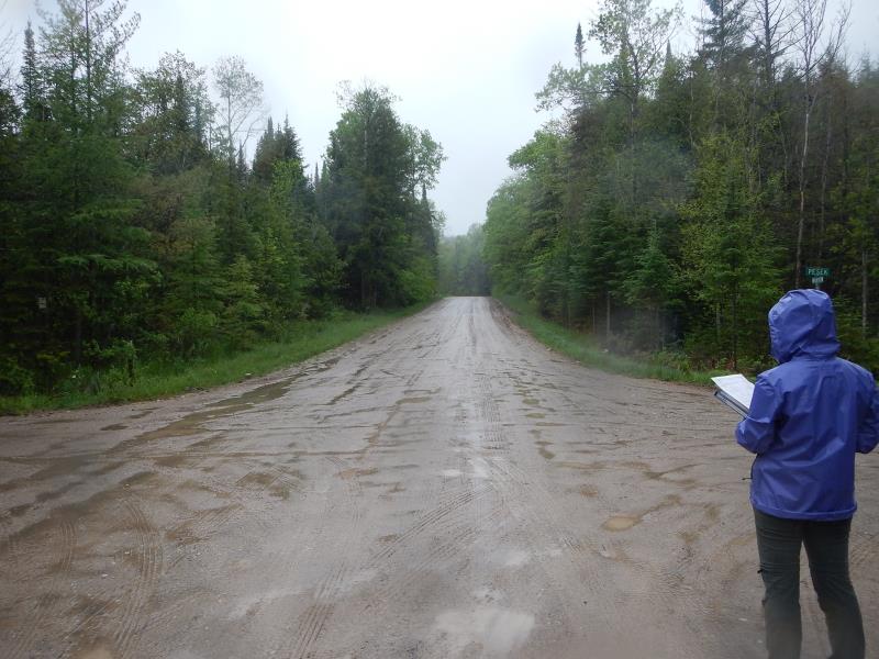
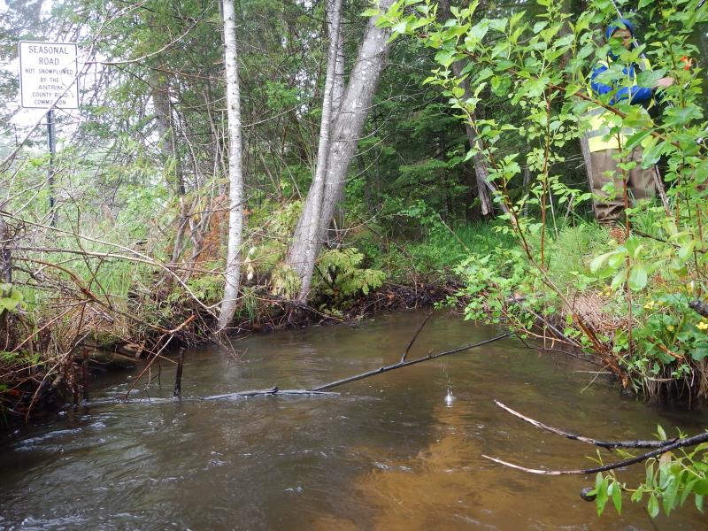
Road Approach - Left
Road Approach - Right
Crossing Information
Type of Crossing: culvert(s)
Number of Structures: 1
Structure Shape: Ellipse
Inlet Type: Projecting
Outlet Type: At Stream Grade
Structure Material: Metal
Structure Substrate: None
General Conditions: Good
Structure Interior: corrugated
Dimensions of Structure: Length 30 ft.
, Width 3 ft.
, Height 1.2 ft.
Perch Height: 0.18 ft.
Structure Inlet
Water Depth: 0.78 ft.
Embedded Depth of Structure: 0 ft.
Water Velocity*: 1.55 ft./sec.
Structure Outlet
Water Depth: 0.58 ft.
Embedded Depth of Structure: 0 ft.
Water Velocity*: 4.18 ft./sec.
*Water Velocities were measured 0.51 ft. below Surface
(with Meter)
Additional Comments
crossing at intersection
Stream Information
Stream Flow: Less than Bankfull
Scour Pool: Length 0 ft.
, Width 0 ft.
, Depth 0 ft.
Upstream Pond: Length 0 ft.
, Width 0 ft.
, Depth 0 ft.
Riffle Information
Water Depth: 0.66 ft.
Bankfull Width: 7 ft.
Wetted Width: 7 ft.
Water Velocity: 0.4 ft./sec.
(Measured with Meter)
Dominant Substrate: Sand
Road Information
Sand
County Road
Road Condition: Good
Road Width at Culvert: 27.5 ft.
Location of Low Point: At Stream
Runoff Path: Roadway
Embankments
Upstream
Fill Depth: 1.25 ft.
Slope: More than 1:2
Downstream
Fill Depth: 1 ft.
Slope: More than 1:2
Approaches
Left Approach
Length: 100 ft.
Slope: 1% to 5%
Vegetation: Partial
LS Factor: 0.39
Erosion: 0.2955 tons/year
Right Approach
Length: 400 ft.
Slope: 6% to 10%
Vegetation: Heavy
LS Factor: 1.53
Erosion: 4.6364 tons/year
Erosion Information
Total Erosion at Crossing: 4.9703 tons/year
Extent of Erosion: Moderate
Erosion is occurring and corrective actions can be installed to address the problem.
Notes: steady sediment flow off road
Location of Erosion | Erosion Dimensions | Eroded Material | Material Eroded | Total Erosion | ||
facing downstream | Length | Width | Depth | Reaching Stream? | (tons/year) | |
Left Upstream Embankment |
10 ft. |
1 ft. |
0.5 ft. |
yes |
Sand |
0.0385 |
Summary Information
Fish Passability 0
Fish Passage is an area of concern for this site.
because of downstream velocity
A future visit to this site is recommended. above
�