Road Stream Crossing Site CHAR_EV12
Lake Charlevoix Watershed, Ironton Drain
M-66
Eveline Twp,
Charlevoix County
Information collected by:
Site Location
GPS Coordinates: 45.25097
, -85.18387
T33N
R07W
Sec 17
Owned by Private
Perch Height: 0.8 ft.
Total Erosion: 0.1183 tons/year
Severity: Moderate
Year Inventoried: 2011
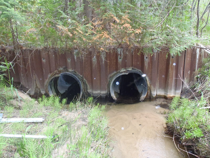
Inlet
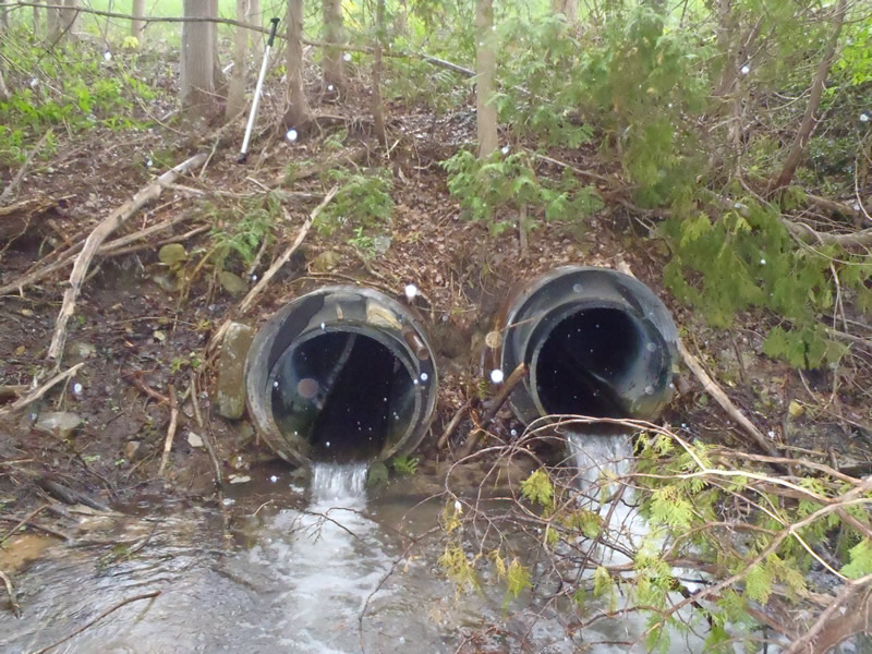
Outlet
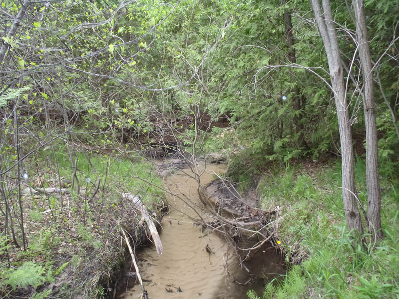
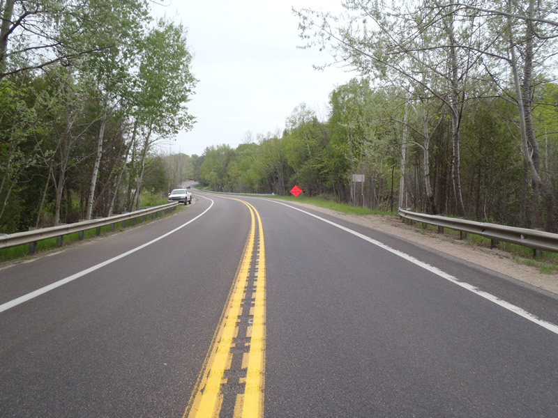
Upstream Conditions
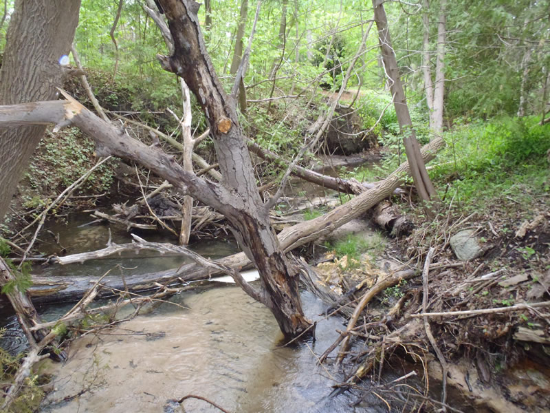
Downstream Conditions
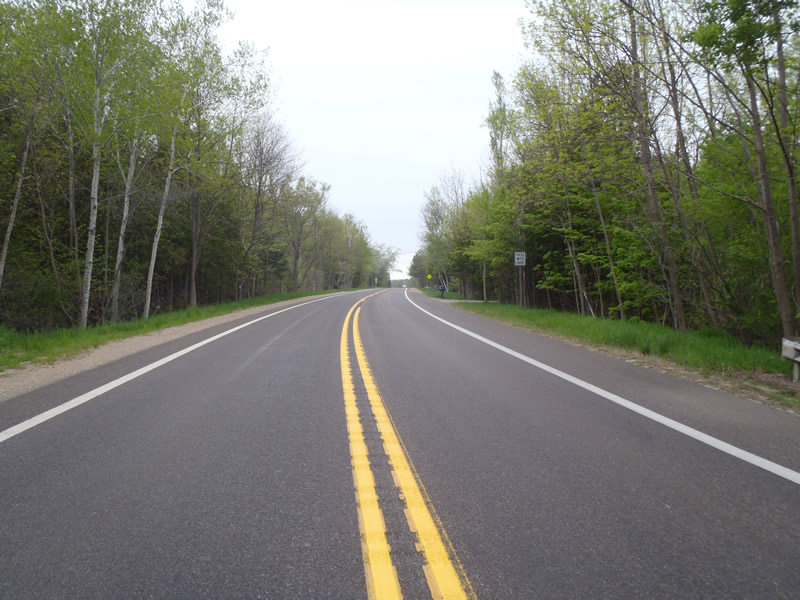
Road Approach - Left
Road Approach - Right
Crossing Information
Type of Crossing: culvert(s)
Number of Structures: 2
Structure Shape: Round
Inlet Type: Headwall
Outlet Type: Freefall into Pool
Structure Material: Plastic
Structure Substrate: None
General Conditions: Poor
Structure Interior: smooth
Dimensions of Structure: Length 110 ft.
, Width 2 ft.
, Height 2 ft.
Perch Height: 0.8 ft.
Structure Inlet
Water Depth: 0.24 ft.
Embedded Depth of Structure: 0 ft.
Water Velocity*: 2.2 ft./sec.
Structure Outlet
Water Depth: 0.12 ft.
Embedded Depth of Structure: 0 ft.
Water Velocity*: 5.9 ft./sec.
*Water Velocities were measured at the Surface
(with Meter)
Stream Information
Stream Flow: Less than Bankfull
Scour Pool: Length 8 ft.
, Width 11 ft.
, Depth 2.1 ft.
Riffle Information
Water Depth: 0.28 ft.
Bankfull Width: 6.7 ft.
Wetted Width: 5.5 ft.
Water Velocity: 0.9 ft./sec.
(Measured with Meter)
Dominant Substrate: Sand
Road Information
Paved
State Road
Road Condition: Good
Road Width at Culvert: 40 ft.
Location of Low Point: Other
Runoff Path: Roadway
Embankments
Upstream
Fill Depth: 10 ft.
Slope: 1:1
Downstream
Fill Depth: 17 ft.
Slope: 1:1
Approaches
Left Approach
Length: 50 ft.
Slope: 6% to 10%
Vegetation: Heavy
LS Factor: 0.79
Erosion: 0.0522 tons/year
Right Approach
Length: 1000 ft.
Slope: Less Than 1%
Vegetation: Heavy
LS Factor: 0.05
Erosion: 0.0661 tons/year
Erosion Information
Total Erosion at Crossing: 0.1183 tons/year
Extent of Erosion: Severe
Notes: all embankments and streambanks have erosion
Summary Information
Erosion is an area of concern for this site.
Part of a series of culverts causing erosion
A future visit to this site is recommended. To measure extent of erosion.
�