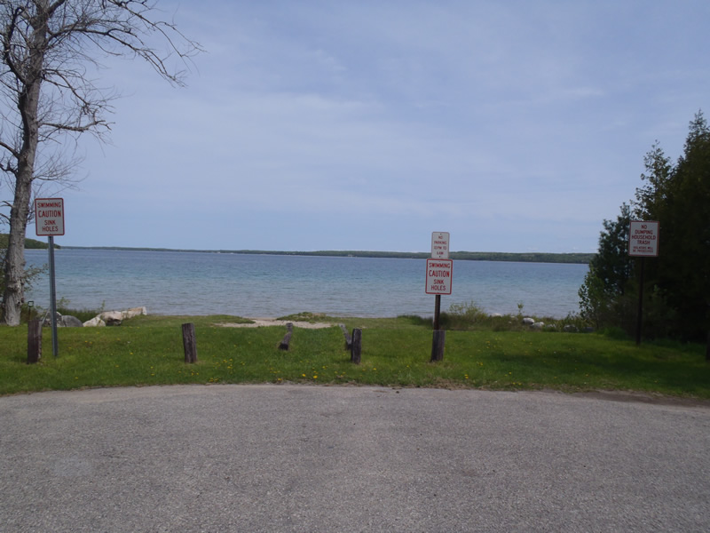
Road Stream Crossing Site CHAR_EV13
Lake Charlevoix Watershed, Lake Charlevoix
Washington Street
Eveline Twp,
Charlevoix County
Information collected by:
Site Location
GPS Coordinates: 45.26411
, -85.19173
T33N
R07W
Sec 17
Owned by Private
Year Inventoried: 2011
Contact Point
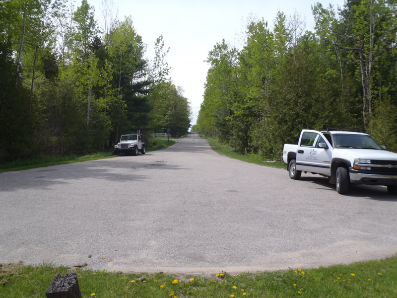
Road Approach - Left
Crossing Information
Type of Crossing: Contact Point
General Conditions: Good
Additional Comments
Public access
Road Information
Paved
County Road
Road Condition: Good
Road Width at Culvert: 50 ft.
Location of Low Point: At Stream
Runoff Path: Ditch
Length: 1000 ft.
Slope: 6% to 10%
Vegetation: Heavy
Erosion Information
Summary Information
�