Road Stream Crossing Site BC-1
Maple River Watershed, Beavertail Creek
N Fishtail Bay
Munro Twp,
Cheboygan County
Information collected by:
Site Location
GPS Coordinates: 45.588282
, -84.650439
T37N
R03W
Sec 23
Owned by Other
Fish Passability 0.9
Total Erosion: 0.1007 tons/year
Severity: Moderate
Year Inventoried: 2015
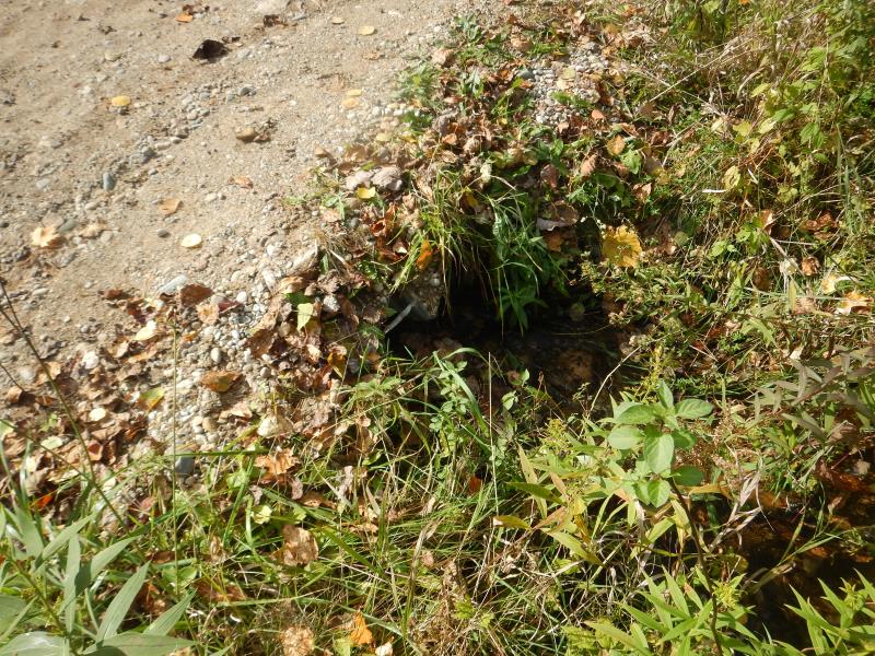
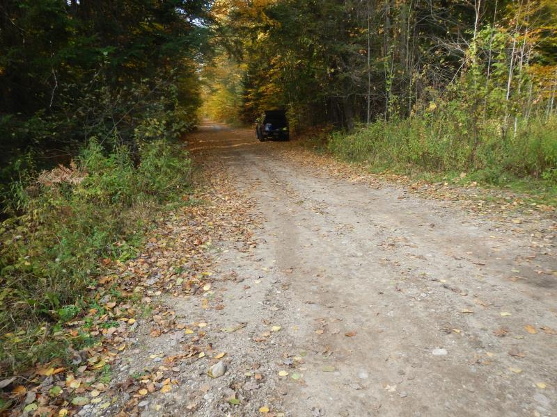
Inlet
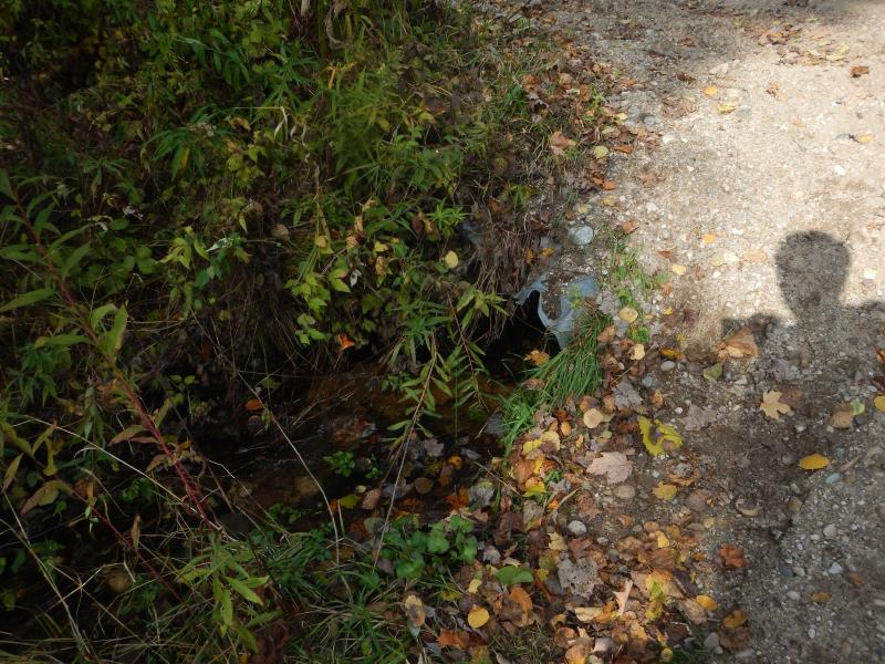
Outlet
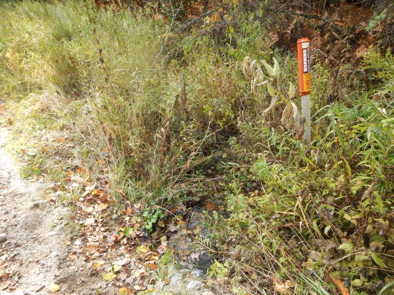
Downstream Conditions
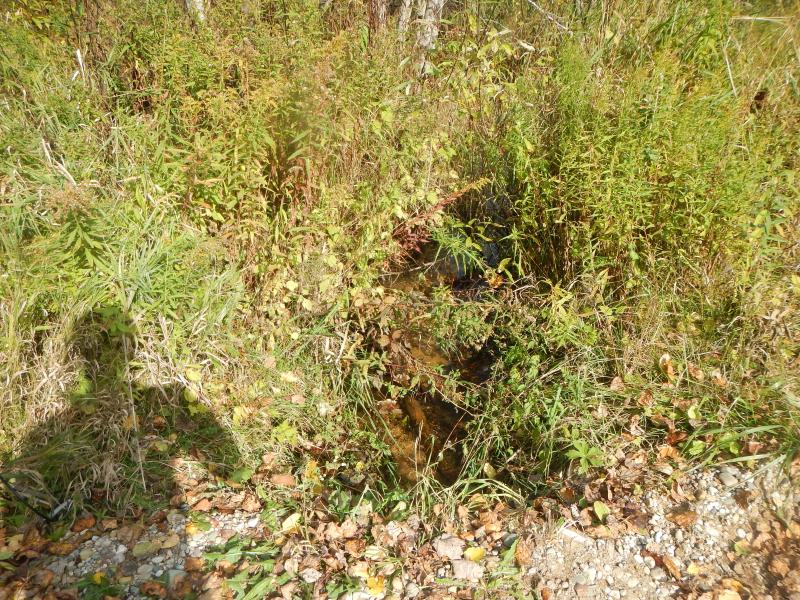
Upstream Conditions
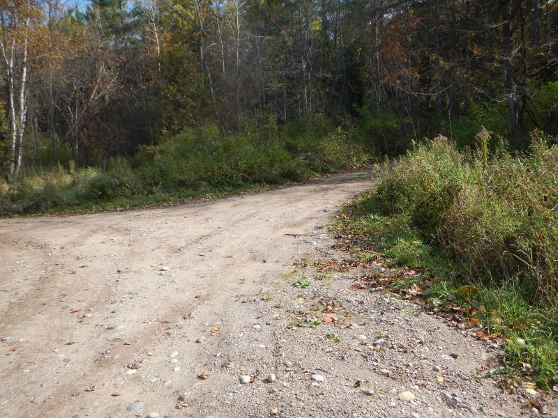
Road Approach - Left
Road Approach - Right
Crossing Information
Type of Crossing: culvert(s)
Number of Structures: 1
Structure Shape: Round
Inlet Type: Projecting
Outlet Type: Cascade over Riprap
Structure Material: Metal
Structure Substrate: Mixture
General Conditions: Poor
Structure Interior: corrugated
Dimensions of Structure: Length 25 ft.
, Width 2 ft.
, Height 1.67 ft.
Percentage Plugged:
Inlet: 51% to 75%
Percentage Crushed:
Inlet: 26% to 50%
Outlet: 26% to 50%
Structure Inlet
Water Depth: 0.5 ft.
Embedded Depth of Structure: 0.25 ft.
Water Velocity*: 1.64 ft./sec.
Structure Outlet
Water Depth: 0.33 ft.
Embedded Depth of Structure: 0.17 ft.
Water Velocity*: 1.65 ft./sec.
*Water Velocities were measured 0.2 ft. below Surface
(with Meter)
Additional Comments
UMBS
Stream Information
Stream Flow: Less than Bankfull
Upstream Pond: Length 0.83 ft.
, Width 2.5 ft.
Riffle Information
Water Depth: 0.22 ft.
Bankfull Width: 6.25 ft.
Wetted Width: 5.75 ft.
Water Velocity: 0.2 ft./sec.
(Measured with Meter)
Dominant Substrate: Gravel
Road Information
Gravel
County Road
Road Condition: Good
Road Width at Culvert: 24 ft.
Location of Low Point: At Stream
Runoff Path: Roadway
Embankments
Upstream
Fill Depth: 0.5 ft.
Slope: More than 1:2
Downstream
Fill Depth: 1 ft.
Slope: More than 1:2
Approaches
Left Approach
Length: 100 ft.
Slope: Less Than 1%
Vegetation: Heavy
LS Factor: 0.05
Erosion: 0.0331 tons/year
Right Approach
Length: 200 ft.
Slope: Less Than 1%
Vegetation: Heavy
LS Factor: 0.05
Erosion: 0.0661 tons/year
Erosion Information
Total Erosion at Crossing: 0.1007 tons/year
Extent of Erosion: Minor
Erosion is occurring and corrective actions can be installed to address the problem.
Notes: pipeline access eroding into creek
Location of Erosion | Erosion Dimensions | Eroded Material | Material Eroded | Total Erosion | ||
facing downstream | Length | Width | Depth | Reaching Stream? | (tons/year) | |
Left Downstream Streambank |
3 ft. |
10 ft. |
0.5 ft. |
yes |
Gravel |
0.0015 |
Summary Information
Fish Passability 0.9
Fish Passage is an area of concern for this site.
plugged & crushed problems. Note: a guy backed up a truck ~1/4 mile to tell me how bad this culvert floods the road in the spring. He really wants it replaced like the one upstream.
A future visit to this site is recommended. check status of culvert
�