Road Stream Crossing Site BL-01
Maple River Watershed, Unknown tributary to Hasler Creek
Rotter Rd
Tuscarora Twp,
Cheboygan County
Information collected by:
Site Location
GPS Coordinates: 45.43375
, -84.709245
T35N
R03W
Sec 8
Owned by Private
Fish Passability 0
Perch Height: 1 ft.
Total Erosion: 3.6534 tons/year
Severity: Severe
Year Inventoried: 2014
Inlet
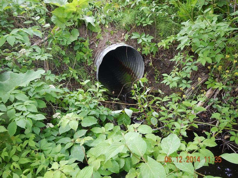
Outlet
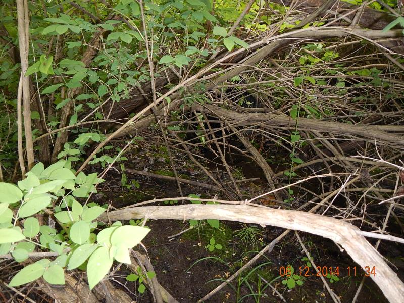
Downstream Conditions
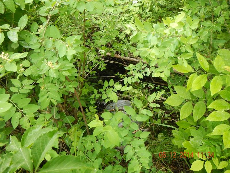
Upstream Conditions
Road Approach - Left

Road Approach - Right
Crossing Information
Type of Crossing: culvert(s)
Number of Structures: 1
Structure Shape: Round
Inlet Type: Projecting
Outlet Type: Freefall onto Riprap
Structure Material: Metal
Structure Substrate: None
General Conditions: New
Structure Interior: corrugated
Dimensions of Structure: Length 41 ft.
, Width 1.9 ft.
, Height 2 ft.
Perch Height: 1 ft.
Structure Inlet
Water Depth: 0.04 ft.
Embedded Depth of Structure: 0 ft.
Water Velocity*: 0 ft./sec.
Structure Outlet
Water Depth: 0.02 ft.
Embedded Depth of Structure: 0 ft.
Water Velocity*: 0 ft./sec.
*Water Velocities were measured at the Surface
(with Meter)
Additional Comments
Poor riparian managemen downstream
Stream Information
Stream Flow: Less than Bankfull
Scour Pool: Length 8 ft.
, Width 5 ft.
, Depth 1.5 ft.
Riffle Information
Water Depth: 0.2 ft.
Bankfull Width: 6 ft.
Wetted Width: 2.25 ft.
Water Velocity: 0.01 ft./sec.
(Measured with Meter)
Dominant Substrate: Organics
Road Information
Gravel
County Road
Road Width at Culvert: 19 ft.
Location of Low Point: At Stream
Embankments
Upstream
Fill Depth: 3 ft.
Slope: 1:1.5
Downstream
Fill Depth: 3.5 ft.
Slope: 1:1.5
Approaches
Left Approach
Length: 400 ft.
Slope: 6% to 10%
Vegetation: Heavy
LS Factor: 1.53
Erosion: 3.2033 tons/year
Right Approach
Length: 200 ft.
Slope: 1% to 5%
Vegetation: Heavy
LS Factor: 0.43
Erosion: 0.4501 tons/year
Erosion Information
Total Erosion at Crossing: 3.6534 tons/year
Summary Information
Fish Passability 0
These non-native species were observerd at this site: Forget-me-nots
�