Road Stream Crossing Site BL-02
Maple River Watershed, Unknown tributary to Hasler Creek
M-68
Tuscarora Twp,
Cheboygan County
Information collected by:
Site Location
GPS Coordinates: 45.441032
, -84.714015
T35N
R03W
Sec 7
Fish Passability 0
Total Erosion: 0.0157 tons/year
Severity: Severe
Year Inventoried: 2014
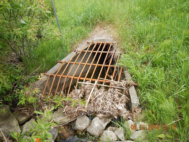
Inlet
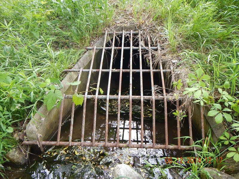
Outlet
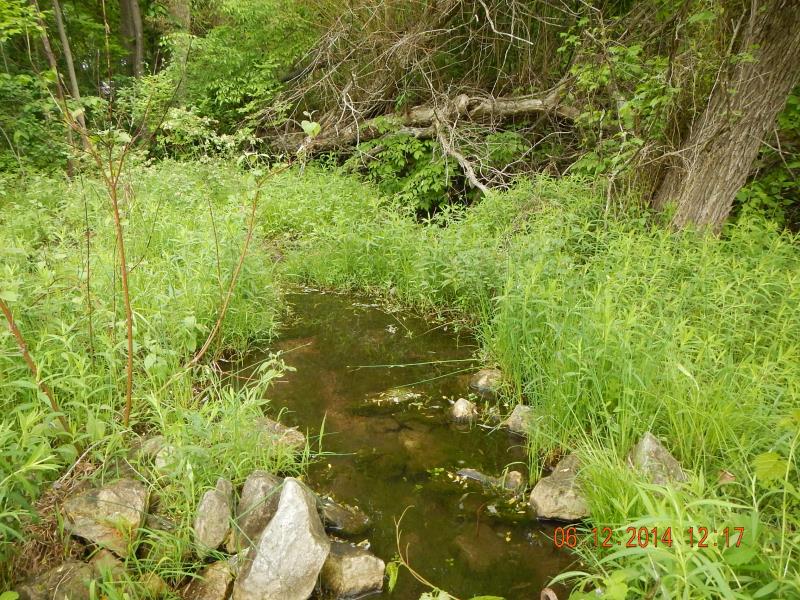
Downstream Conditions
Upstream Conditions
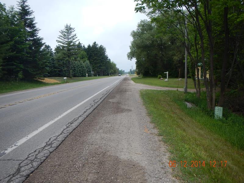
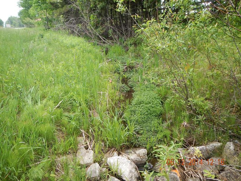
Road Approach - Left
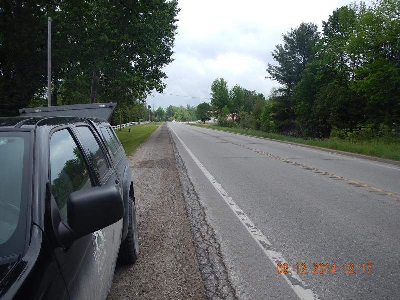
Road Approach - Right
Crossing Information
Type of Crossing: culvert(s)
Number of Structures: 1
Structure Shape: Round
Inlet Type: Wingwall 10-30 Degree
Outlet Type: At Stream Grade
Structure Material: Concrete
Structure Substrate: Sand
General Conditions: Good
Structure Interior: smooth
Dimensions of Structure: Length 96 ft.
, Width 2.54 ft.
, Height 2.54 ft.
Structure Inlet
Water Depth: 0.05 ft.
Embedded Depth of Structure: 0 ft.
Water Velocity*: 0 ft./sec.
Structure Outlet
Water Depth: 0.33 ft.
Embedded Depth of Structure: 0 ft.
Water Velocity*: 0.12 ft./sec.
*Water Velocities were measured 0.1 ft. below Surface
(with Meter)
Additional Comments
11188 Landowner
Stream Information
Stream Flow: Less than Bankfull
Scour Pool: Length 20 ft.
, Width 8 ft.
, Depth 0.5 ft.
Riffle Information
Water Depth: 1 ft.
Bankfull Width: 5 ft.
Wetted Width: 1.67 ft.
Water Velocity: 0.16 ft./sec.
(Measured with Meter)
Dominant Substrate: Organics
Road Information
Paved
State Road
Road Condition: Good
Road Width at Culvert: 38 ft.
Location of Low Point: Other
Runoff Path: Ditch
Embankments
Upstream
Fill Depth: 2 ft.
Slope: More than 1:2
Downstream
Fill Depth: 3 ft.
Slope: More than 1:2
Approaches
Left Approach
Length: 50 ft.
Slope: Less Than 1%
Vegetation: Partial
LS Factor: 0.05
Erosion: 0.0031 tons/year
Right Approach
Length: 200 ft.
Slope: Less Than 1%
Vegetation: Partial
LS Factor: 0.05
Erosion: 0.0126 tons/year
Erosion Information
Total Erosion at Crossing: 0.0157 tons/year
Summary Information
Fish Passability 0
These non-native species were observerd at this site: non-native thistle, deadly nighshade
�