Road Stream Crossing Site BL-03
Maple River Watershed, Hasler Creek
M-68
Tuscarora Twp,
Cheboygan County
Information collected by:
Site Location
GPS Coordinates: 45.441424
, -84.721223
T35N
R03W
Sec 7
Owned by Private
Fish Passability 0
Perch Height: 0.83 ft.
Total Erosion: 0.0052 tons/year
Severity: Severe
Year Inventoried: 2014
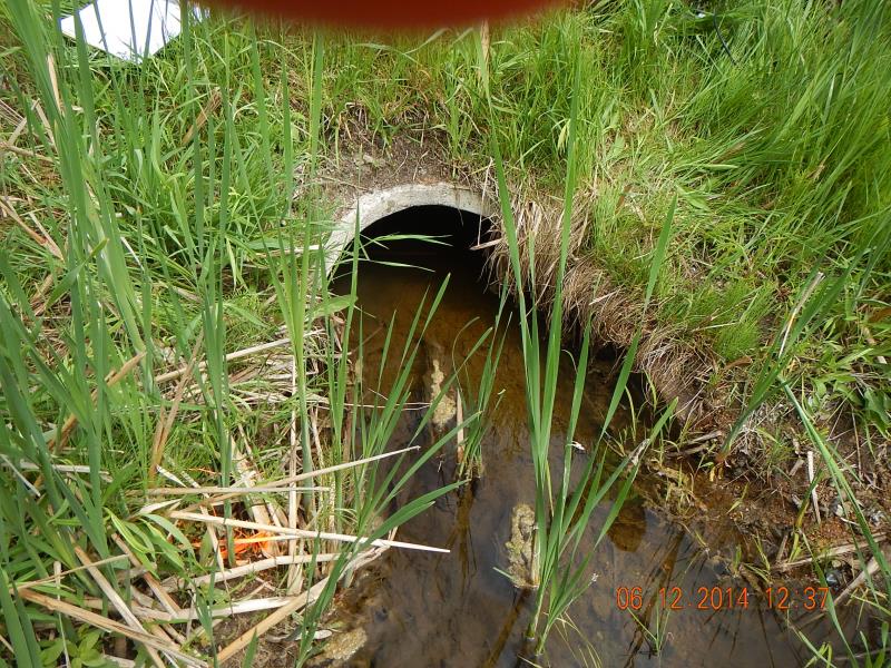
Inlet
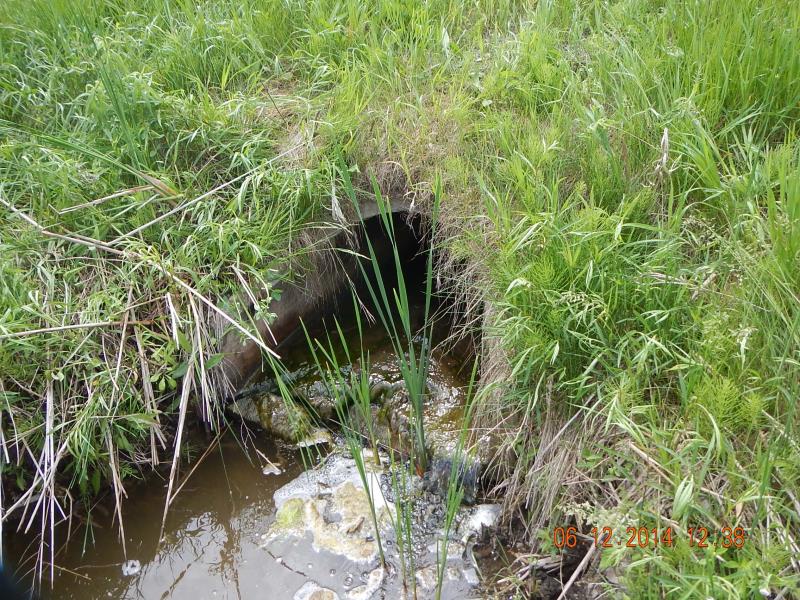
Outlet
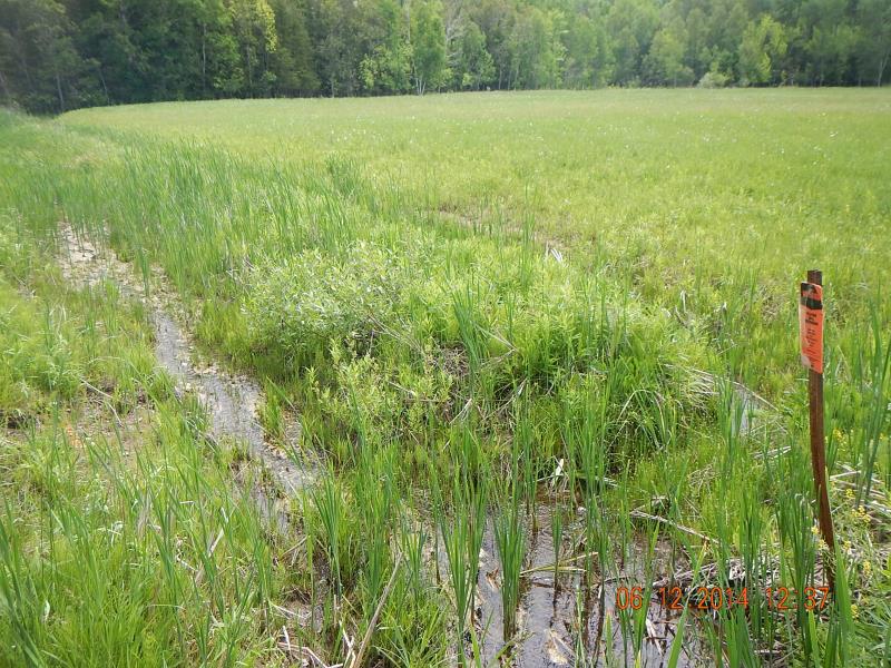
Upstream Conditions
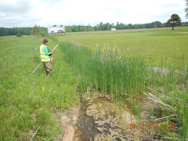
Downstream Conditions
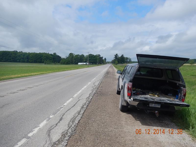
Road Approach - Left
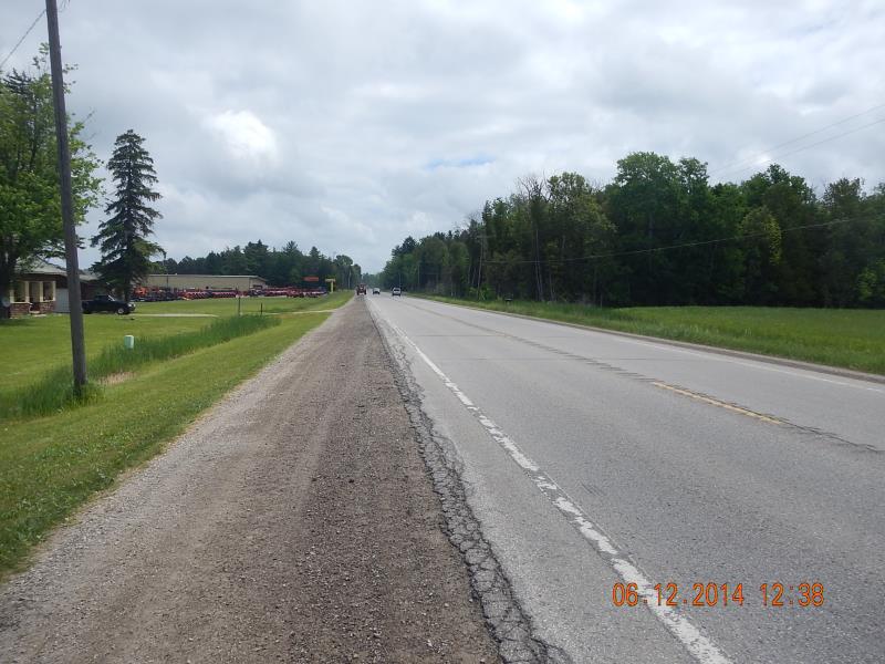
Road Approach - Right
Crossing Information
Type of Crossing: culvert(s)
Number of Structures: 1
Structure Shape: Round
Inlet Type: Wingwall 10-30 Degree
Outlet Type: Freefall into Pool
Structure Material: Concrete
Structure Substrate: None
General Conditions: Good
Structure Interior: smooth
Dimensions of Structure: Length 65 ft.
, Width 2.33 ft.
, Height 1.58 ft.
Perch Height: 0.83 ft.
Structure Inlet
Water Depth: 0.63 ft.
Embedded Depth of Structure: 0.04 ft.
Water Velocity*: 0.03 ft./sec.
Structure Outlet
Water Depth: 0.13 ft.
Embedded Depth of Structure: 0 ft.
Water Velocity*: 0.8 ft./sec.
*Water Velocities were measured at the Surface
(with Meter)
Additional Comments
Residence lawn
Stream Information
Stream Flow: Less than Bankfull
Scour Pool: Length 10 ft.
, Width 5 ft.
, Depth 1.42 ft.
Riffle Information
Water Depth: 0.8 ft.
Bankfull Width: 4.1 ft.
Wetted Width: 3.25 ft.
Water Velocity: 0.15 ft./sec.
(Measured with Meter)
Dominant Substrate: Sand
Road Information
Paved
State Road
Road Condition: Good
Road Width at Culvert: 45 ft.
Location of Low Point: Other
Runoff Path: Ditch
Embankments
Upstream
Fill Depth: 2.5 ft.
Slope: 1:2
Downstream
Fill Depth: 2.5 ft.
Slope: More than 1:2
Approaches
Left Approach
Length: 20 ft.
Slope: Less Than 1%
Vegetation: Heavy
LS Factor: 0.05
Erosion: 0.0015 tons/year
Right Approach
Length: 50 ft.
Slope: Less Than 1%
Vegetation: Heavy
LS Factor: 0.05
Erosion: 0.0037 tons/year
Erosion Information
Total Erosion at Crossing: 0.0052 tons/year
Summary Information
Fish Passability 0
�