Road Stream Crossing Site BL-06
Maple River Watershed, Headwaters of unnamed creek
Indian Rd
Burt Twp,
Cheboygan County
Information collected by:
Site Location
GPS Coordinates: 45.51031
, -84.716512
T36N
R03W
Sec 18
Fish Passability 0.9
Total Erosion: 0.2342 tons/year
Severity: Minor
Year Inventoried: 2014
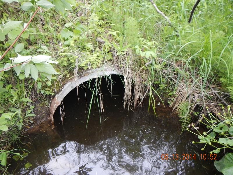
Inlet
Outlet
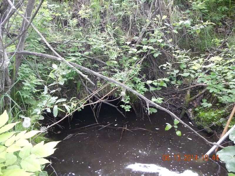
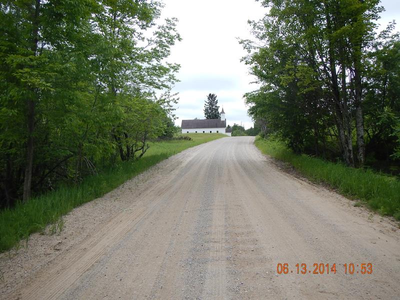
Upstream Conditions
Downstream Conditions
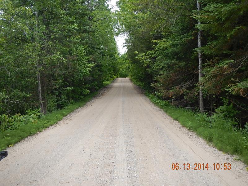
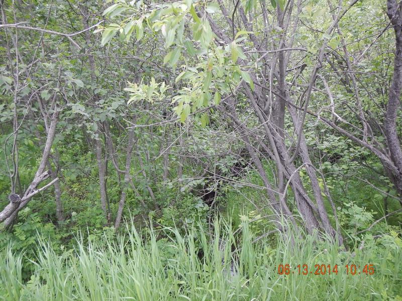
Road Approach - Left
Road Approach - Right
Crossing Information
Type of Crossing: culvert(s)
Number of Structures: 1
Structure Shape: Round
Inlet Type: Projecting
Outlet Type: At Stream Grade
Structure Material: Metal
Structure Substrate: Mixture
General Conditions: Poor
Structure Interior: corrugated
Structure is Rusted through
Dimensions of Structure: Length 35 ft.
, Width 3 ft.
, Height 3 ft.
Structure Inlet
Water Depth: 1 ft.
Embedded Depth of Structure: 0.05 ft.
Water Velocity*: 0 ft./sec.
Structure Outlet
Water Depth: 1.75 ft.
Embedded Depth of Structure: 0.33 ft.
Water Velocity*: 0 ft./sec.
*Water Velocities were measured 0.5 ft. below Surface
(with Meter)
Stream Information
Stream Flow: Less than 1/2 Bankfull
Scour Pool: Length 7 ft.
, Width 7 ft.
, Depth 1.2 ft.
Upstream Pond: Length 8 ft.
, Width 8 ft.
, Depth 1 ft.
Riffle Information
Water Depth: 0.2 ft.
Bankfull Width: 2 ft.
Wetted Width: 1.67 ft.
Water Velocity: 0.5 ft./sec.
(Measured with Meter)
Dominant Substrate: Sand
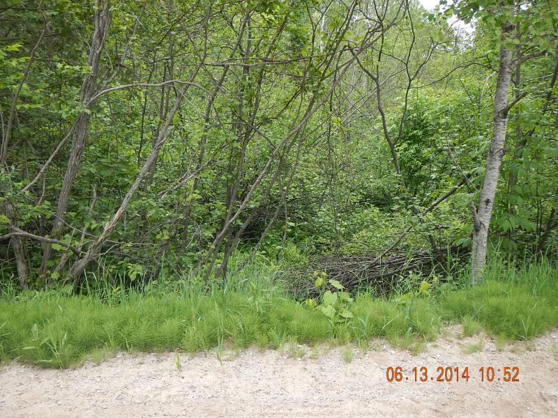
Road Information
Gravel
County Road
Road Condition: Good
Road Width at Culvert: 5 ft.
Location of Low Point: At Stream
Runoff Path: Roadway
Embankments
Upstream
Fill Depth: 5 ft.
Slope: 1:1.5
Downstream
Fill Depth: 5 ft.
Slope: 1:2
Approaches
Left Approach
Length: 250 ft.
Slope: 1% to 5%
Vegetation: Heavy
LS Factor: 0.44
Erosion: 0.1515 tons/year
Right Approach
Length: 150 ft.
Slope: 1% to 5%
Vegetation: Heavy
LS Factor: 0.4
Erosion: 0.0826 tons/year
Erosion Information
Total Erosion at Crossing: 0.2342 tons/year
Summary Information
Fish Passability 0.9
A future visit to this site is recommended. rusty culvert
�