Road Stream Crossing Site BL-08
Maple River Watershed, Unnamed tributary
W Burt Lake Rd
Burt Twp,
Cheboygan County
Information collected by:
Site Location
GPS Coordinates: 45.517223
, -84.702558
T36N
R03W
Sec 17
Fish Passability 0
Perch Height: 1.08 ft.
Total Erosion: 3.5008 tons/year
Severity: Severe
Year Inventoried: 2014
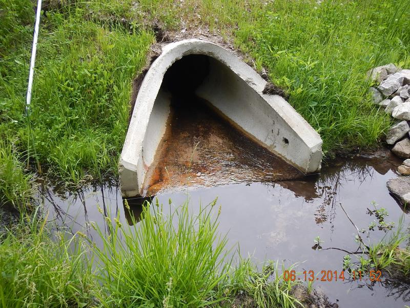
Inlet
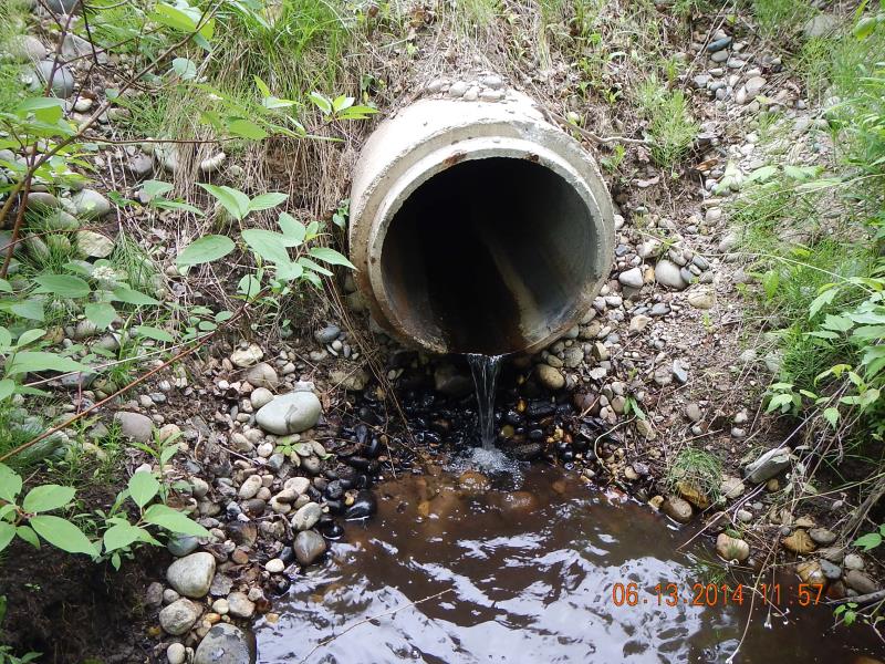
Outlet

Upstream Conditions

Downstream Conditions
Road Approach - Left
Road Approach - Right
Crossing Information
Type of Crossing: culvert(s)
Number of Structures: 1
Structure Shape: Round
Inlet Type: Apron
Outlet Type: Freefall into Pool
Structure Material: Concrete
Structure Substrate: None
General Conditions: Good
Structure Interior: smooth
Dimensions of Structure: Length 69 ft.
, Width 2 ft.
, Height 2 ft.
Perch Height: 1.08 ft.
Structure Inlet
Water Depth: 0.008 ft.
Embedded Depth of Structure: 0 ft.
Water Velocity*: 0 ft./sec.
Structure Outlet
Water Depth: 0.021 ft.
Embedded Depth of Structure: 0 ft.
Water Velocity*: 1 ft./sec.
(with Meter)
Stream Information
Stream Flow: Less than 1/2 Bankfull
Scour Pool: Length 8 ft.
, Width 6 ft.
, Depth 1.25 ft.
Upstream Pond: Length 10 ft.
, Width 3 ft.
, Depth 0.5 ft.
Riffle Information
Water Depth: 0.1 ft.
Bankfull Width: 2.83 ft.
Wetted Width: 1.83 ft.
Water Velocity: 0.15 ft./sec.
(Measured with Meter)
Dominant Substrate: Sand
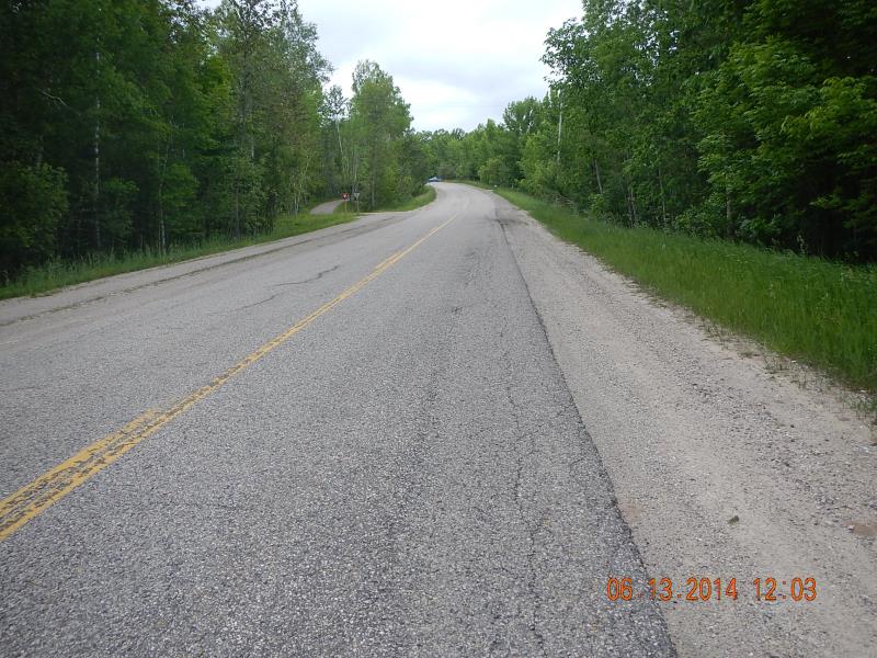
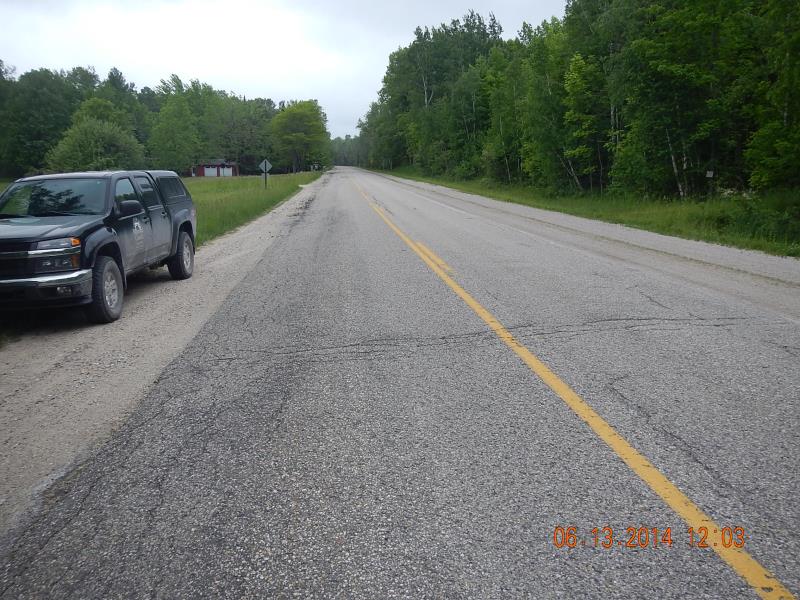
Road Information
Gravel
County Road
Road Condition: Good
Road Width at Culvert: 44 ft.
Location of Low Point: At Stream
Runoff Path: Ditch
Embankments
Upstream
Fill Depth: 2 ft.
Slope: More than 1:2
Downstream
Fill Depth: 2.5 ft.
Slope: 1:1.5
Approaches
Left Approach
Length: 500 ft.
Slope: 1% to 5%
Vegetation: Heavy
LS Factor: 0.5
Erosion: 3.0303 tons/year
Right Approach
Length: 100 ft.
Slope: 1% to 5%
Vegetation: Heavy
LS Factor: 0.38
Erosion: 0.4606 tons/year
Erosion Information
Total Erosion at Crossing: 3.5008 tons/year
Extent of Erosion: Minor
Location of Erosion | Erosion Dimensions | Eroded Material | Material Eroded | Total Erosion | ||
facing downstream | Length | Width | Depth | Reaching Stream? | (tons/year) | |
Left Downstream Ditch |
3 ft. |
5 ft. |
3 ft. |
yes |
Sand |
0.0099 |
Summary Information
Fish Passability 0
�