Road Stream Crossing Site BL-09
Maple River Watershed, Unnamed tributary Burt Lake
W Burt Lake Rd
Burt Twp,
Cheboygan County
Information collected by:
Site Location
GPS Coordinates: 45.532679
, -84.695321
T36N
R03W
Sec 8
Fish Passability 0.5
Total Erosion: 0.1613 tons/year
Severity: Moderate
Year Inventoried: 2014
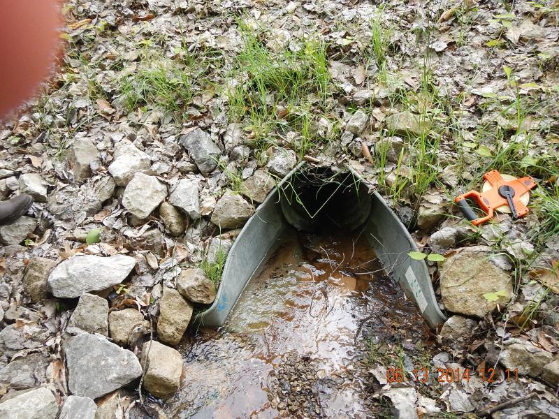
Inlet
Outlet
Upstream Conditions
Downstream Conditions
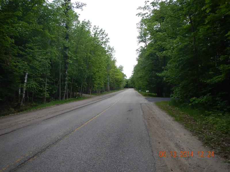
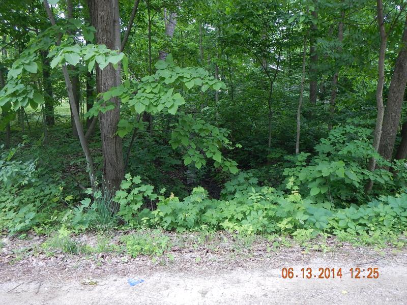
Road Approach - Left
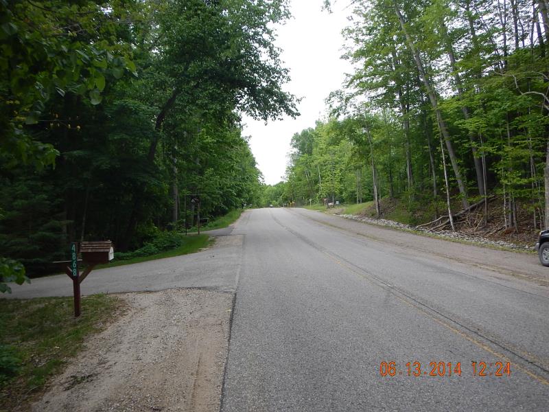
Road Approach - Right
Crossing Information
Type of Crossing: culvert(s)
Number of Structures: 1
Structure Shape: Round
Inlet Type: Apron
Outlet Type: At Stream Grade
Structure Material: Metal
Structure Substrate: None
General Conditions: Good
Structure Interior: corrugated
Dimensions of Structure: Length 61 ft.
, Width 1.33 ft.
, Height 1.33 ft.
Percentage Plugged:
Outlet: 51% to 75%
Structure Inlet
Water Depth: 0.125 ft.
Embedded Depth of Structure: 0 ft.
Water Velocity*: 0.4 ft./sec.
Structure Outlet
Water Depth: 0.17 ft.
Embedded Depth of Structure: 0.67 ft.
Water Velocity*: 1.2 ft./sec.
*Water Velocities were measured 0.08 ft. below Surface
(with Meter)
Additional Comments
4888
Stream Information
Stream Flow: Less than 1/2 Bankfull
Riffle Information
Water Depth: 0.2 ft.
Bankfull Width: 6 ft.
Wetted Width: 1.67 ft.
Water Velocity: 0.7 ft./sec.
(Measured with Meter)
Dominant Substrate: Sand
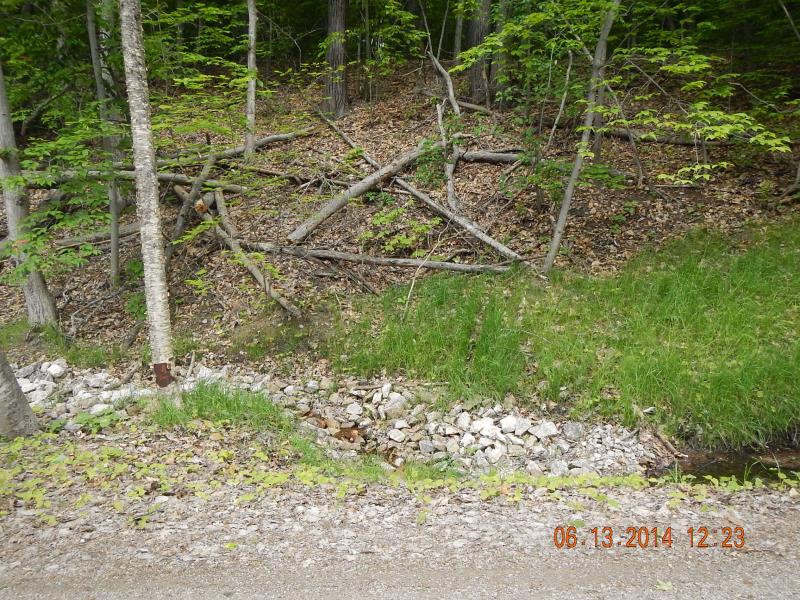
Road Information
Paved
County Road
Road Condition: Good
Road Width at Culvert: 43 ft.
Location of Low Point: Other
Runoff Path: Ditch
Embankments
Upstream
Fill Depth: 2 ft.
Slope: More than 1:2
Downstream
Fill Depth: 6 ft.
Slope: 1:1.5
Approaches
Left Approach
Length: 350 ft.
Slope: Less Than 1%
Vegetation: Partial
LS Factor: 0.05
Erosion: 0.0249 tons/year
Right Approach
Length: 200 ft.
Slope: 1% to 5%
Vegetation: Partial
LS Factor: 0.48
Erosion: 0.1365 tons/year
Erosion Information
Total Erosion at Crossing: 0.1613 tons/year
Summary Information
Fish Passability 0.5
Fish Passage is an area of concern for this site.
clogged
A future visit to this site is recommended. clear the pipe
�