Road Stream Crossing Site BL-10
Maple River Watershed, Carp Creek
Hogsback
Burt Twp,
Cheboygan County
Information collected by:
Site Location
GPS Coordinates: 45.548662
, -84.682527
T36N
R03W
Sec 4
Fish Passability 0.5
Total Erosion: 1.6941 tons/year
Severity: Severe
Year Inventoried: 2014
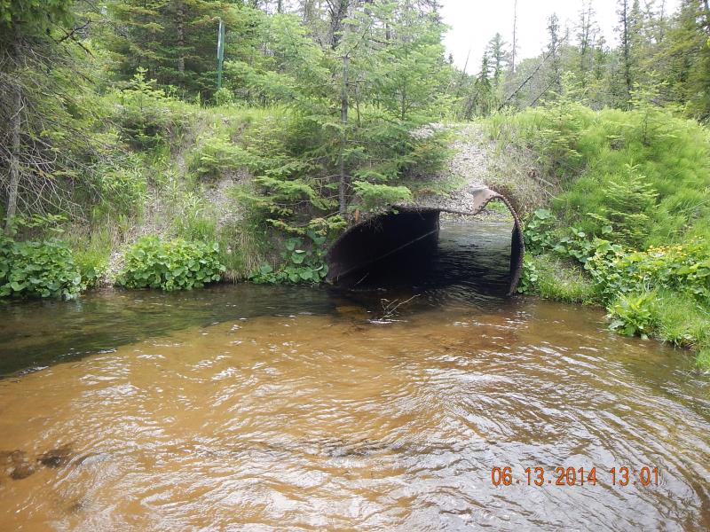
Inlet
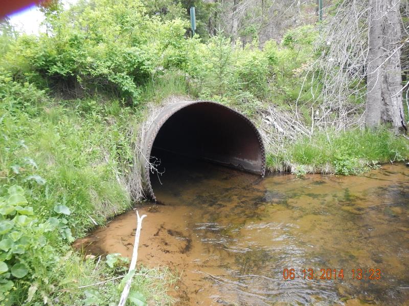
Outlet
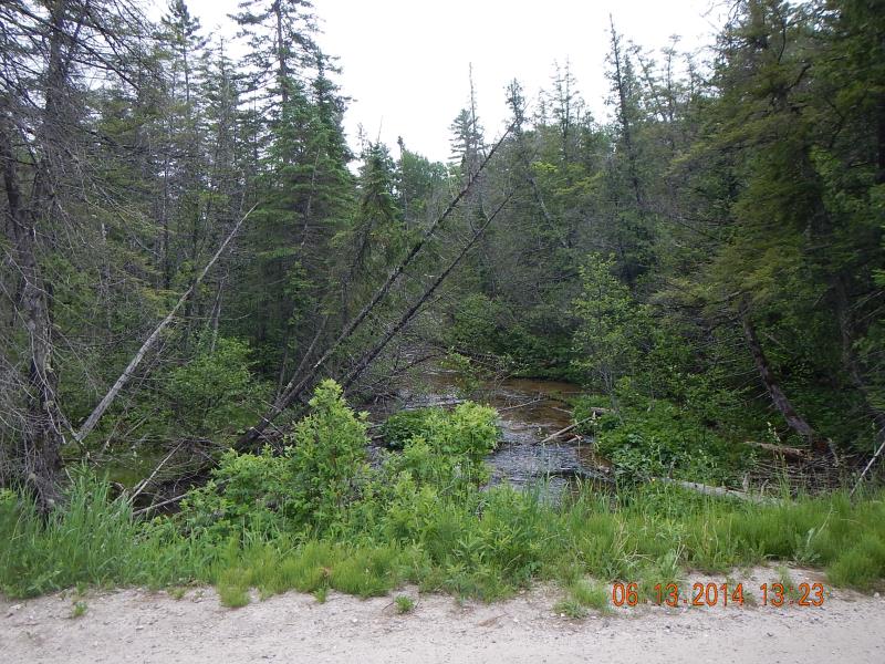
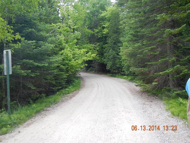
Downstream Conditions
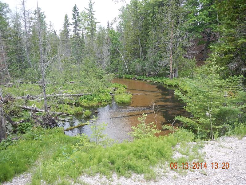
Upstream Conditions
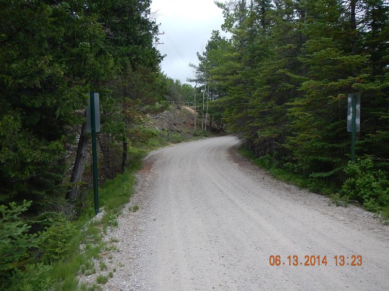
Road Approach - Left
Road Approach - Right
Crossing Information
Type of Crossing: culvert(s)
Number of Structures: 1
Structure Shape: Round
Inlet Type: Projecting
Outlet Type: At Stream Grade
Structure Material: Metal
Structure Substrate: Gravel
General Conditions: Good
Structure Interior: smooth
Dimensions of Structure: Length 33 ft.
, Width 7 ft.
, Height 6.75 ft.
Percentage Crushed:
Inlet: 1% to 25%
Structure Inlet
Water Depth: 1.67 ft.
Embedded Depth of Structure: 0.08 ft.
Water Velocity*: 2.1 ft./sec.
Structure Outlet
Water Depth: 1.75 ft.
Embedded Depth of Structure: 0.08 ft.
Water Velocity*: 2 ft./sec.
(with Meter)
Stream Information
Stream Flow: Less than Bankfull
Riffle Information
Water Depth: 1.02 ft.
Bankfull Width: 30 ft.
Wetted Width: 25 ft.
Water Velocity: 1.2 ft./sec.
(Measured with Meter)
Dominant Substrate: Sand
Road Information
Gravel
County Road
Road Condition: Good
Road Width at Culvert: 16 ft.
Location of Low Point: At Stream
Runoff Path: Ditch
Embankments
Upstream
Fill Depth: 2.5 ft.
Slope: 1:1.5
Downstream
Fill Depth: 3 ft.
Slope: 1:1.5
Approaches
Left Approach
Length: 150 ft.
Slope: 1% to 5%
Vegetation: Heavy
LS Factor: 0.4
Erosion: 0.2645 tons/year
Right Approach
Length: 100 ft.
Slope: 6% to 10%
Vegetation: Heavy
LS Factor: 0.99
Erosion: 0.4364 tons/year
Erosion Information
Total Erosion at Crossing: 1.6941 tons/year
Extent of Erosion: Moderate
Erosion is occurring and corrective actions can be installed to address the problem.
Location of Erosion | Erosion Dimensions | Eroded Material | Material Eroded | Total Erosion | ||
facing downstream | Length | Width | Depth | Reaching Stream? | (tons/year) | |
Left Downstream Ditch |
15 ft. |
3 ft. |
7 ft. |
yes |
Sand |
0.8085 |
Left Upstream Ditch |
3 ft. |
10 ft. |
5 ft. |
yes |
Sand |
0.1155 |
Right Upstream Ditch |
3 ft. |
6 ft. |
3 ft. |
yes |
Sand |
0.0693 |
Summary Information
Fish Passability 0.5
Erosion is an area of concern for this site.
A future visit to this site is recommended. check on crushed culvert and erosion
�