Road Stream Crossing Site BL-11
Maple River Watershed, Whitegoose Creek
Mullet Burt
Burt Twp,
Cheboygan County
Information collected by:
Site Location
GPS Coordinates: 45.520499
, -84.638263
T36N
R03W
Sec 11
Fish Passability 0.9
Total Erosion: 0.0152 tons/year
Severity: Minor
Year Inventoried: 2014
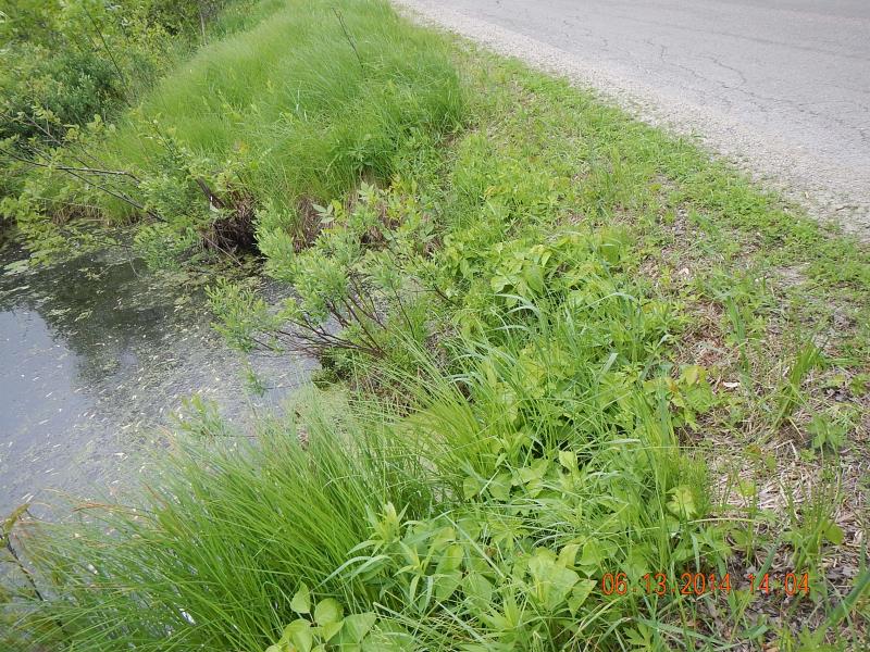
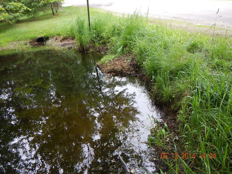
Inlet
Outlet
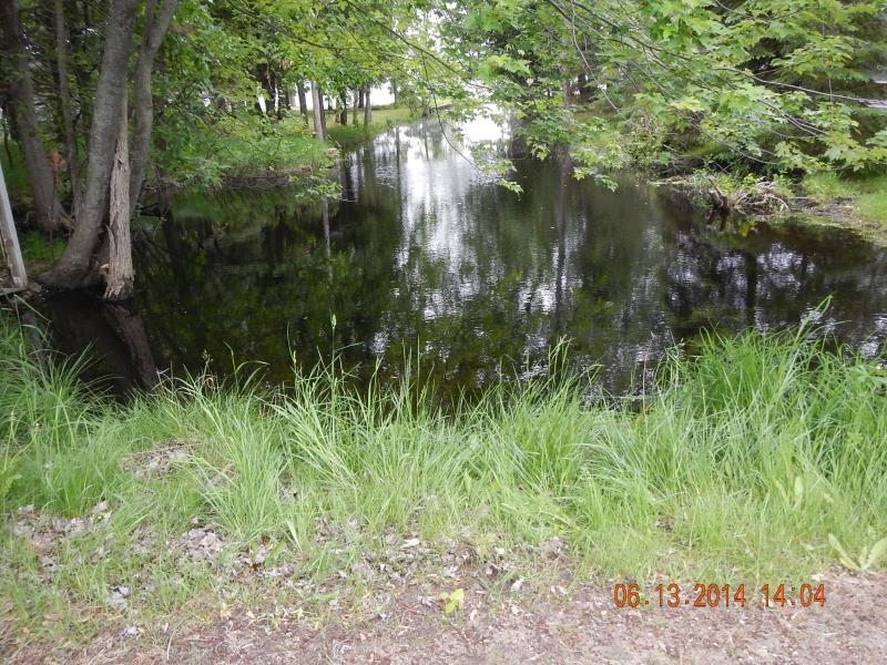
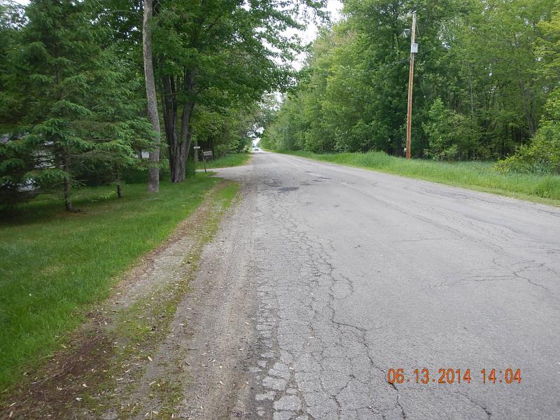
Downstream Conditions
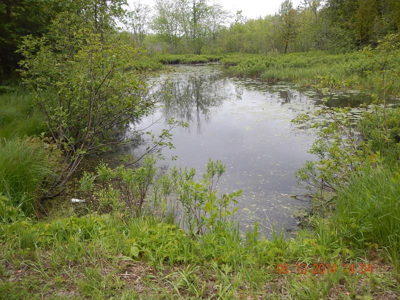
Upstream Conditions
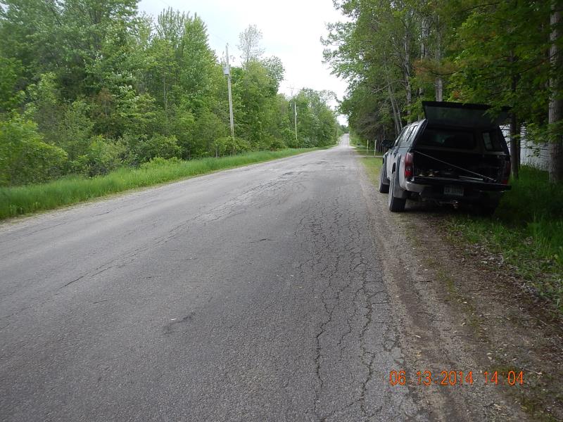
Road Approach - Left
Road Approach - Right
Crossing Information
Type of Crossing: culvert(s)
Number of Structures: 3
Structure Shape: Round
Inlet Type: Projecting
Outlet Type: At Stream Grade
Structure Material: Metal
Structure Substrate: Mixture
General Conditions: Fair
Multiple Culverts/Spans | ||||
Culvert/Span | Width | Length | Height | Material |
1 |
1 ft. |
35 ft. |
1 ft. |
Concrete |
2 |
6 ft. |
35 ft. |
5 ft. |
Metal |
3 |
1 ft. |
35 ft. |
1 ft. |
Concrete |
Structure Interior: corrugated
Dimensions of Structure: Length 35 ft.
, Width 6 ft.
, Height 5 ft.
Percentage Plugged:
Outlet: 1% to 25%
Percentage Crushed:
Outlet: 1% to 25%
Structure Inlet
Water Depth: 2.83 ft.
Embedded Depth of Structure: 1.67 ft.
Water Velocity*: 0 ft./sec.
Structure Outlet
Water Depth: 2.33 ft.
Embedded Depth of Structure: 2 ft.
Water Velocity*: 0 ft./sec.
*Water Velocities were measured 1.5 ft. below Surface
(with Meter)
Additional Comments
7407
Stream Information
Stream Flow: Less than 1/2 Bankfull
Scour Pool: Length 200 ft.
, Width 20 ft.
, Depth 6 ft.
Upstream Pond: Length 120 ft.
, Width 30 ft.
, Depth 6 ft.
Riffle Information
Water Depth: 3 ft.
Bankfull Width: 18 ft.
Wetted Width: 18 ft.
(Measured with Meter)
Dominant Substrate: Organics
Road Information
Paved
County Road
Road Condition: Good
Road Width at Culvert: 23 ft.
Location of Low Point: Other
Runoff Path: Ditch
Fill Depth: 2 ft.
Slope: 1:2
Approaches
Left Approach
Length: 200 ft.
Slope: Less Than 1%
Vegetation: Partial
LS Factor: 0.05
Erosion: 0.0076 tons/year
Right Approach
Length: 200 ft.
Slope: Less Than 1%
Vegetation: Partial
LS Factor: 0.05
Erosion: 0.0076 tons/year
Erosion Information
Total Erosion at Crossing: 0.0152 tons/year
Summary Information
Fish Passability 0.9
A future visit to this site is recommended. Make sure pipe doesn't fill up; culverts are 100% under water
�