Road Stream Crossing Site BL-12
Maple River Watershed, Unnamed tributary
Crump
Burt Twp,
Cheboygan County
Information collected by:
Site Location
GPS Coordinates: 45.524313
, -84.620688
T36N
R03W
Sec 12
Fish Passability 0
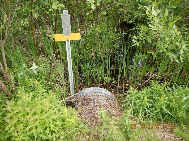
Perch Height: 0.8 ft.
Total Erosion: 1.0304 tons/year
Severity: Severe
Year Inventoried: 2014
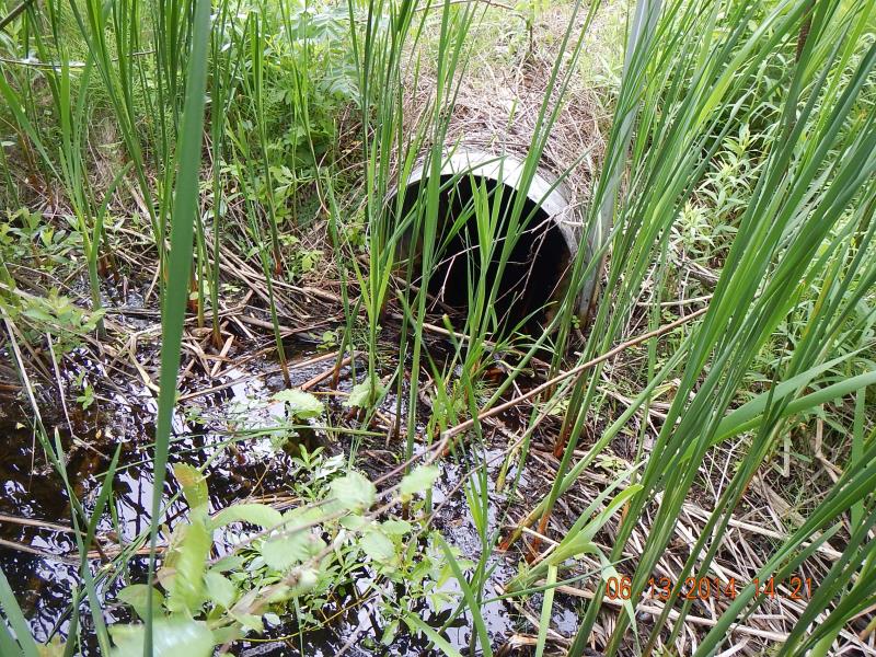
Inlet
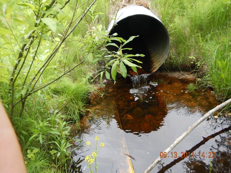
Outlet
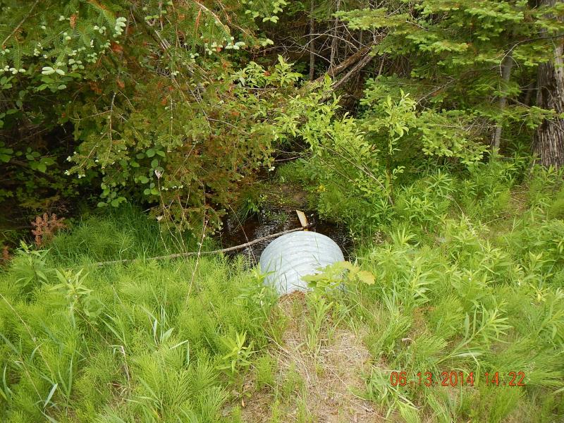
Downstream Conditions
Upstream Conditions
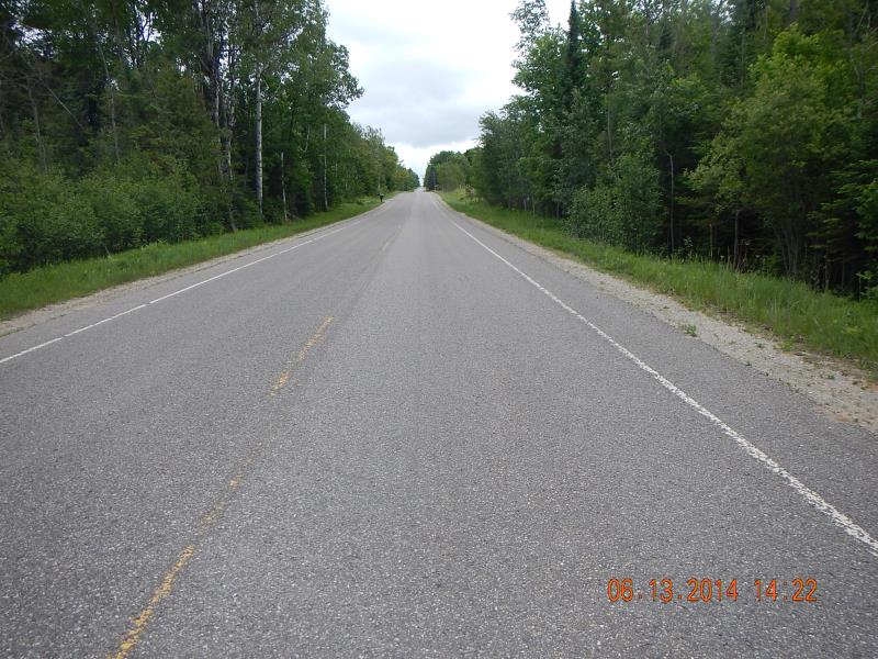
Road Approach - Left
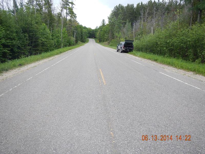
Road Approach - Right
Crossing Information
Type of Crossing: culvert(s)
Number of Structures: 1
Structure Shape: Round
Inlet Type: Projecting
Outlet Type: Freefall into Pool
Structure Material: Concrete
Structure Substrate: Gravel
General Conditions: Good
Structure Interior: corrugated
Dimensions of Structure: Length 61 ft.
, Width 2.08 ft.
, Height 2.08 ft.
Perch Height: 0.8 ft.
Structure Inlet
Water Depth: 0.33 ft.
Embedded Depth of Structure: 0.05 ft.
Water Velocity*: 0.1 ft./sec.
Structure Outlet
Water Depth: 0.08 ft.
Embedded Depth of Structure: 0 ft.
Water Velocity*: 1.2 ft./sec.
(with Meter)
Stream Information
Stream Flow: Less than Bankfull
Scour Pool: Length 4 ft.
, Width 6 ft.
, Depth 0.58 ft.
Riffle Information
Water Depth: 0.1 ft.
Bankfull Width: 25 ft.
Wetted Width: 2.25 ft.
Water Velocity: 0.1 ft./sec.
(Measured with Meter)
Dominant Substrate: Gravel
Road Information
Paved
County Road
Road Condition: Good
Road Width at Culvert: 33 ft.
Location of Low Point: At Stream
Runoff Path: Ditch
Embankments
Upstream
Fill Depth: 2 ft.
Slope: More than 1:2
Downstream
Fill Depth: 2 ft.
Slope: More than 1:2
Approaches
Left Approach
Length: 1000 ft.
Slope: 1% to 5%
Vegetation: Heavy
LS Factor: 0.57
Erosion: 0.6218 tons/year
Right Approach
Length: 700 ft.
Slope: 1% to 5%
Vegetation: Heavy
LS Factor: 0.535
Erosion: 0.4085 tons/year
Erosion Information
Total Erosion at Crossing: 1.0304 tons/year
Summary Information
Fish Passability 0
These non-native species were observerd at this site: possible narrow-leaf invasive cattail
�