Road Stream Crossing Site BL-20
Maple River Watershed, Maple River West Branch
Van Rd
McKinley Twp,
Emmet County
Information collected by:
Site Location
GPS Coordinates: 45.59383
, -84.849043
T37N
R03W
Sec 19
Owned by Private
Total Erosion: 0 tons/year
Severity: Moderate
Year Inventoried: 2014
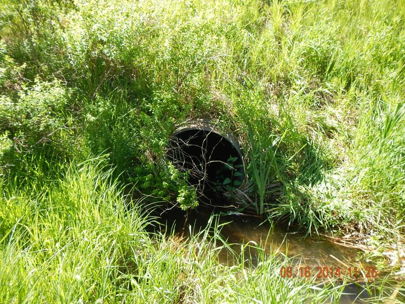
Inlet
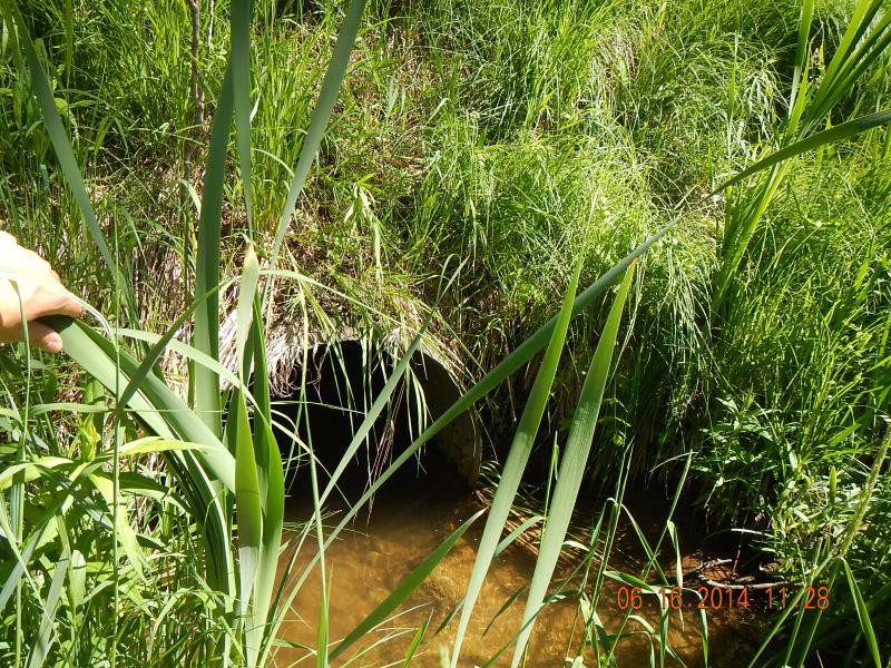
Outlet
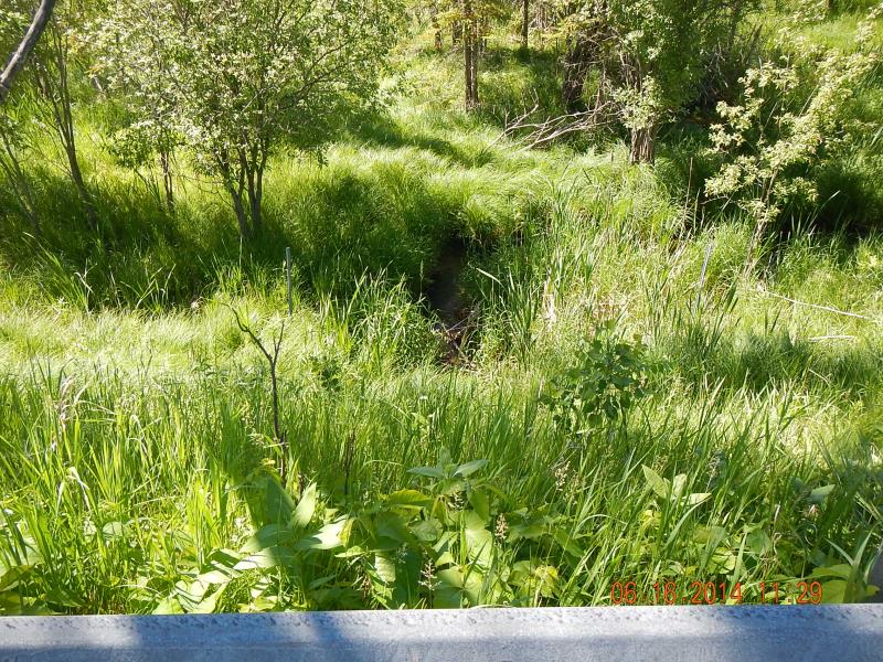
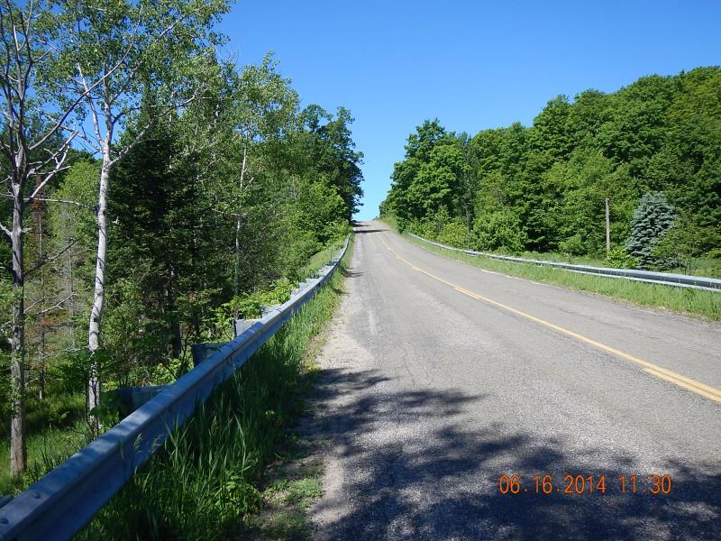
Downstream Conditions
Upstream Conditions
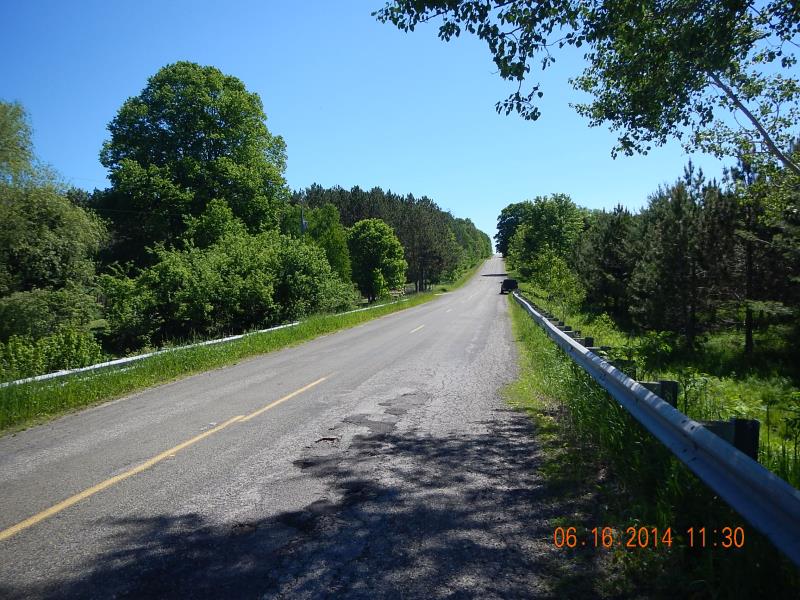
Road Approach - Left
Road Approach - Right
Crossing Information
Type of Crossing: culvert(s)
Number of Structures: 1
Structure Shape: Round
Inlet Type: Projecting
Outlet Type: At Stream Grade
Structure Material: Metal
Structure Substrate: None
General Conditions: Good
Structure Interior: corrugated
Dimensions of Structure: Length 62 ft.
, Width 3 ft.
, Height 3 ft.
Percentage Crushed:
Inlet: 0%
Outlet: 0%
In Pipe: 1% to 25%
Structure Inlet
Water Depth: 0.46 ft.
Embedded Depth of Structure: 0 ft.
Water Velocity*: 0.11 ft./sec.
Structure Outlet
Water Depth: 0.8 ft.
Embedded Depth of Structure: 0.125 ft.
Water Velocity*: 0.03 ft./sec.
*Water Velocities were measured 0.5 ft. below Surface
(with Meter)
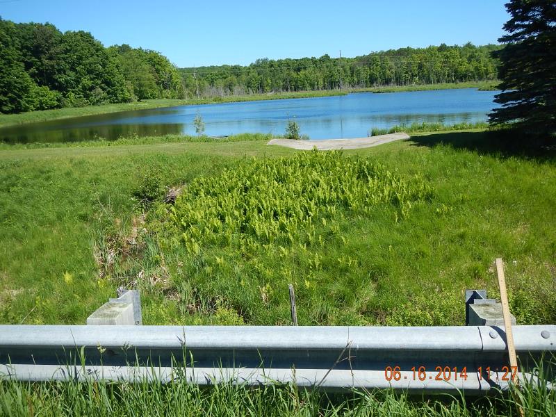
Additional Comments
nice people, impoundment upstream
Stream Information
Stream Flow: Less than Bankfull
Riffle Information
Water Depth: 0.6 ft.
Bankfull Width: 7 ft.
Wetted Width: 4.1 ft.
Water Velocity: 0.6 ft./sec.
(Measured with Meter)
Dominant Substrate: Sand
Road Information
Paved
County Road
Road Condition: Good
Road Width at Culvert: 30 ft.
Location of Low Point: Other
Runoff Path: Ditch
Embankments
Upstream
Fill Depth: 10 ft.
Slope: 1:1.5
Downstream
Fill Depth: 12 ft.
Slope: 1:1.5
Length: 1000 ft.
Slope: 6% to 10%
Vegetation: Heavy
LS Factor: 0
Erosion: 0 tons/year
Length: 400 ft.
Slope: 6% to 10%
Vegetation: Heavy
LS Factor: 0
Erosion: 0 tons/year
Erosion Information
Total Erosion at Crossing: 0 tons/year
Extent of Erosion: Minor
Summary Information
Erosion is an area of concern for this site.
�