Road Stream Crossing Site BL-22
Maple River Watershed, Unknown tributary to Maple River
Ely Rd
McKinley Twp,
Emmet County
Information collected by:
Site Location
GPS Coordinates: 45.579473
, -84.848408
T37N
R03W
Sec 19
Structure is NOT Perched
Total Erosion: 0.048 tons/year
Severity: Restored
Year Inventoried: 2021
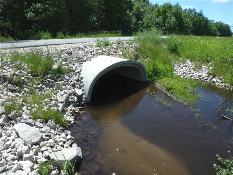
Inlet
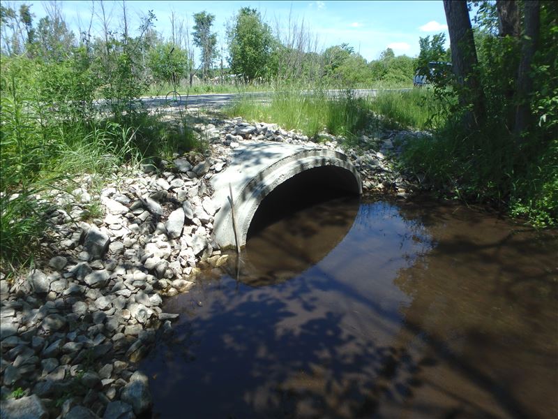
Outlet
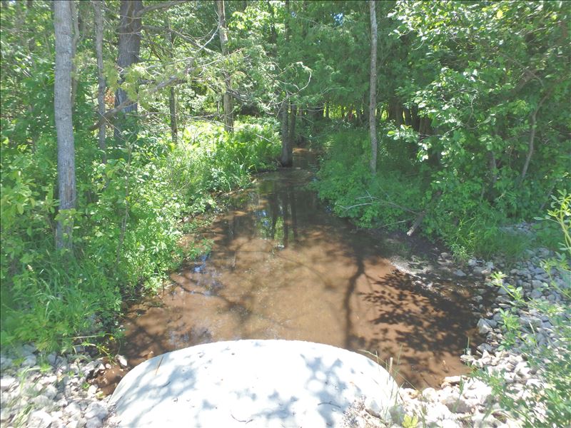
Downstream Conditions
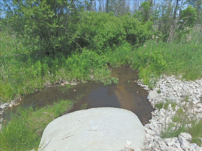
Upstream Conditions
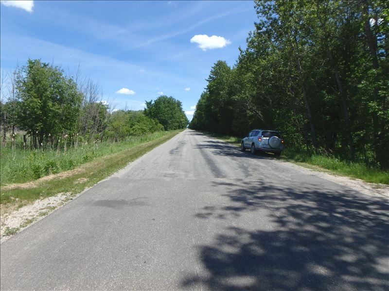
Road Approach - Left
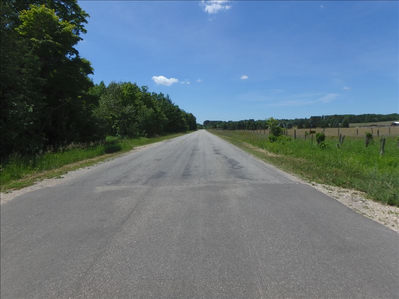
Road Approach - Right
Crossing Information
Type of Crossing: culvert(s)
Structure Shape: Ellipse
Inlet Type: Projecting
Outlet Type: At Stream Grade
Structure Material: Metal
Structure Substrate: Sand
General Conditions: New
Structure Interior: corrugated
Dimensions of Structure: Length 35 ft.
, Width 6.2 ft.
, Height 4 ft.
Structure is NOT Perched
Structure Inlet
Water Depth: 1.1 ft.
Embedded Depth of Structure: 0.6 ft.
Water Velocity*: 0.5 ft./sec.
Structure Outlet
Water Depth: 0.6 ft.
Embedded Depth of Structure: 1.8 ft.
Water Velocity*: 0.5 ft./sec.
*Water Velocities were measured 0.9 ft. below Surface
(with Meter)
Stream Information
Stream Flow: Less than 1/2 Bankfull
Riffle Information
Water Depth: 0.4 ft.
Bankfull Width: 9.2 ft.
Wetted Width: 6.8 ft.
Water Velocity: 0.7 ft./sec.
(Measured with Meter)
Dominant Substrate: Sand
Road Information
Paved
County Road
Road Condition: Fair
Road Width at Culvert: 29 ft.
Location of Low Point: At Stream
Runoff Path: Ditch
Embankments
Upstream
Fill Depth: 0.8 ft.
Slope: 1:2
Downstream
Fill Depth: 0.8 ft.
Slope: More than 1:2
Approaches
Left Approach
Length: 500 ft.
Slope: Less Than 1%
Vegetation: Heavy
LS Factor: 0.05
Erosion: 0.024 tons/year
Right Approach
Length: 500 ft.
Slope: Less Than 1%
Vegetation: Heavy
LS Factor: 0.05
Erosion: 0.024 tons/year
Erosion Information
Total Erosion at Crossing: 0.048 tons/year
Extent of Erosion: Stabilized
Summary Information
�