Road Stream Crossing Site BL-25
Maple River Watershed, Maple River West Branch
US-31
Maple River Twp,
Emmet County
Information collected by:
Site Location
GPS Coordinates: 45.540091
, -84.783008
T36N
R03W
Sec 3
Total Erosion: 1.3121 tons/year
Severity: Moderate
Year Inventoried: 2014
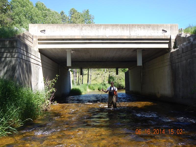
Inlet
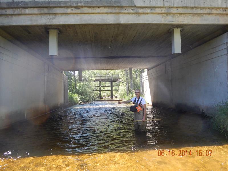
Outlet
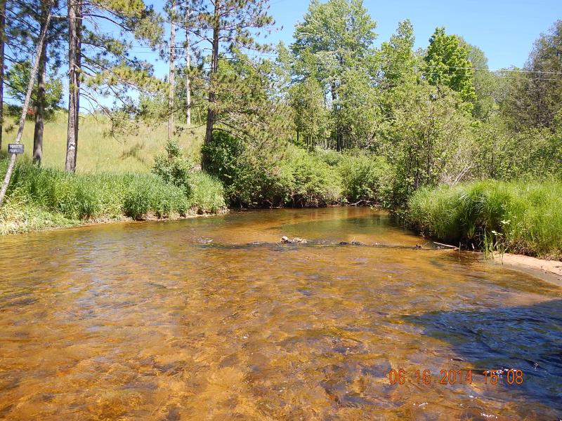
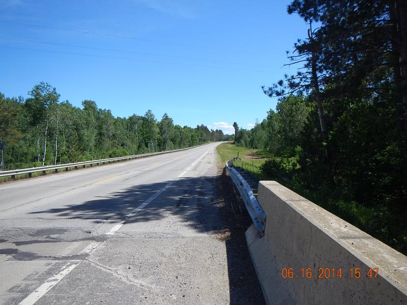
Downstream Conditions
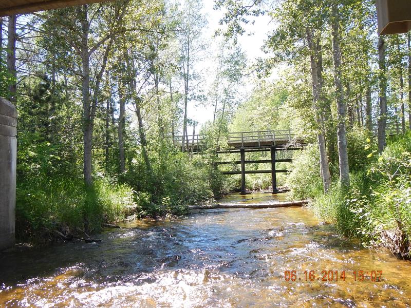
Upstream Conditions
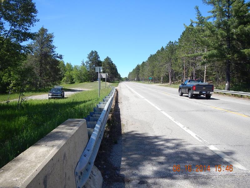
Road Approach - Left
Road Approach - Right
Crossing Information
Type of Crossing: Bridge
Structure Shape: Open Bottom Square/Rectangle
Inlet Type: Other
Outlet Type: Other
Structure Material: Concrete
Structure Substrate: Mixture
General Conditions: Good
Structure Interior: smooth
Dimensions of Structure: Length 45 ft.
, Width 31 ft.
, Height 15 ft.
Structure Inlet
Water Depth: 0.8 ft.
Water Velocity*: 1.8 ft./sec.
Structure Outlet
Water Depth: 1.5 ft.
Water Velocity*: 0.9 ft./sec.
(with Meter)
Stream Information
Stream Flow: Less than Bankfull
Riffle Information
Water Depth: 1.5 ft.
Bankfull Width: 30.5 ft.
Wetted Width: 26.5 ft.
Water Velocity: 0.75 ft./sec.
(Measured with Meter)
Dominant Substrate: Gravel
Road Information
Paved
State Road
Road Condition: Good
Road Width at Culvert: 45 ft.
Location of Low Point: At Stream
Runoff Path: Ditch
Fill Depth: 0 ft.
Slope: Vertical
Fill Depth: 0 ft.
Slope: Vertical
Approaches
Left Approach
Length: 600 ft.
Slope: 1% to 5%
Vegetation: Heavy
LS Factor: 0.52
Erosion: 0.4641 tons/year
Right Approach
Length: 1000 ft.
Slope: 1% to 5%
Vegetation: Heavy
LS Factor: 0.57
Erosion: 0.8479 tons/year
Erosion Information
Total Erosion at Crossing: 1.3121 tons/year
Extent of Erosion: Moderate
Summary Information
Erosion is an area of concern for this site.
�