Road Stream Crossing Site BL-33
Crooked River Watershed, Mud and Round Lake Connection
Hiawatha Trail
Bear Creek Twp,
Emmet County
Information collected by:
Site Location
GPS Coordinates: 45.397549
, -84.898691
T35N
R03W
Sec 27
Fish Passability 0.9
Total Erosion: 0.0527 tons/year
Severity: Moderate
Year Inventoried: 2014
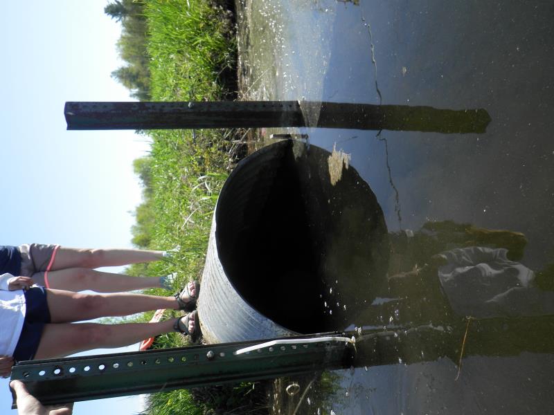
Inlet
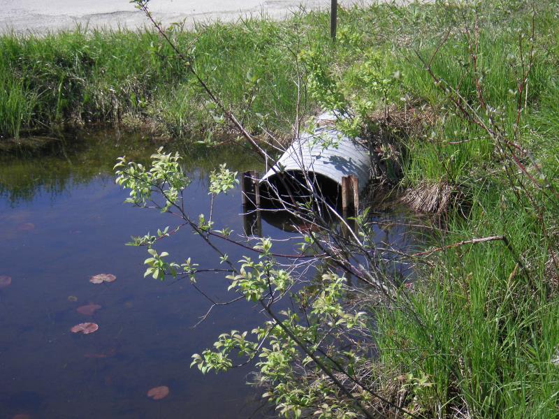
Outlet
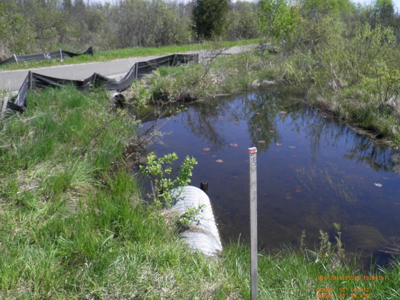
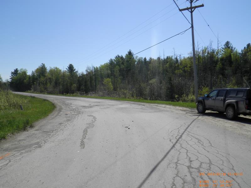
Downstream Conditions
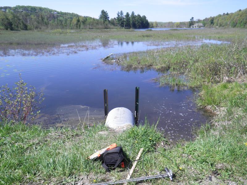
Upstream Conditions
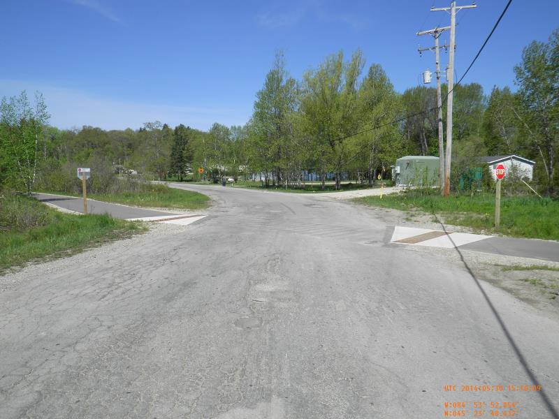
Road Approach - Left
Road Approach - Right
Crossing Information
Type of Crossing: culvert(s)
Structure Shape: Round
Inlet Type: Projecting
Outlet Type: At Stream Grade
Structure Material: Metal
Structure Substrate: Mixture
General Conditions: Good
Structure Interior: corrugated
Dimensions of Structure: Length 50.5 ft.
, Width 2 ft.
, Height 2 ft.
Structure Inlet
Water Depth: 1.2 ft.
Embedded Depth of Structure: 0 ft.
Water Velocity*: 0 ft./sec.
Structure Outlet
Water Depth: 1.5 ft.
Embedded Depth of Structure: 0 ft.
Water Velocity*: 0 ft./sec.
*Water Velocities were measured 1.2 ft. below Surface
(with Meter)
Additional Comments
LTC and Round Lake preserves
Stream Information
Stream Flow: None
Riffle Information
Water Depth: 0 ft.
Bankfull Width: 0 ft.
Wetted Width: 0 ft.
(Measured with Meter)
Dominant Substrate: Organics
Road Information
Paved
County Road
Road Condition: Poor
Road Width at Culvert: 24 ft.
Location of Low Point: At Stream
Runoff Path: Ditch
Embankments
Upstream
Fill Depth: 1 ft.
Slope: 1:1.5
Downstream
Fill Depth: 1 ft.
Slope: 1:1.5
Approaches
Left Approach
Length: 100 ft.
Slope: 1% to 5%
Vegetation: Heavy
LS Factor: 0.38
Erosion: 0.0301 tons/year
Right Approach
Length: 75 ft.
Slope: 1% to 5%
Vegetation: Heavy
LS Factor: 0.36
Erosion: 0.0214 tons/year
Erosion Information
Total Erosion at Crossing: 0.0527 tons/year
Extent of Erosion: Minor
Erosion is occurring and corrective actions can be installed to address the problem.
Notes: Probably human or animal induced
Location of Erosion | Erosion Dimensions | Eroded Material | Material Eroded | Total Erosion | ||
facing downstream | Length | Width | Depth | Reaching Stream? | (tons/year) | |
Left Upstream Streambank |
2 ft. |
2 ft. |
0.5 ft. |
yes |
Sand |
0.0011 |
Summary Information
Fish Passability 0.9
�