Road Stream Crossing Site BL-38
Crooked River Watershed, Unnamed tributary to Crooked Lake
N. Conway
Little Traverse Twp,
Emmet County
Information collected by:
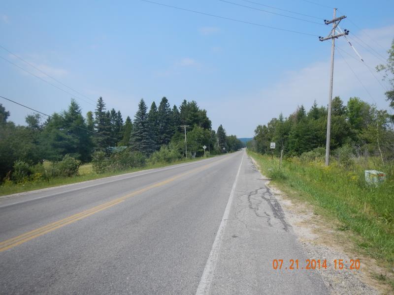
Site Location
GPS Coordinates: 45.422046
, -84.86329
T35N
R03W
Sec 13
Fish Passability 0.9
Total Erosion: 0.0051 tons/year
Severity: Minor
Year Inventoried: 2014
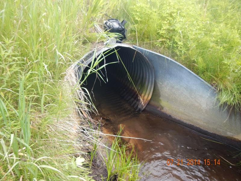
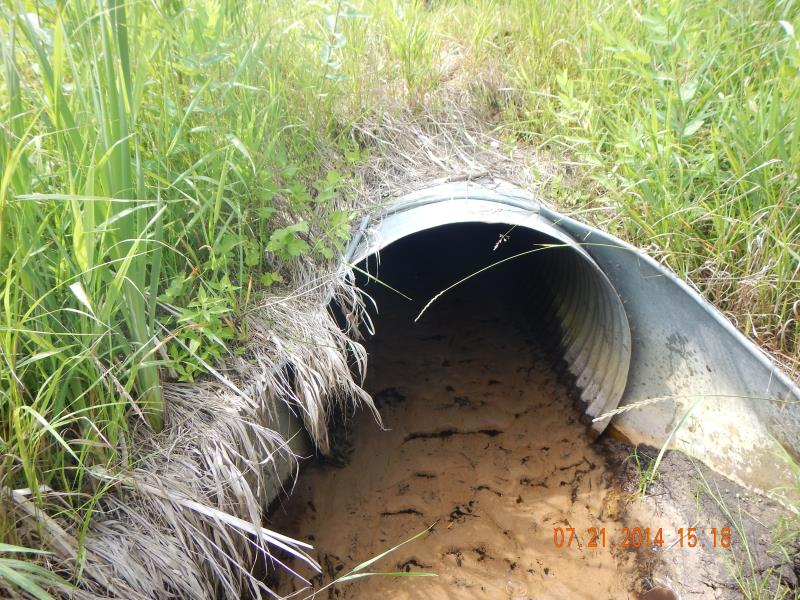
Inlet
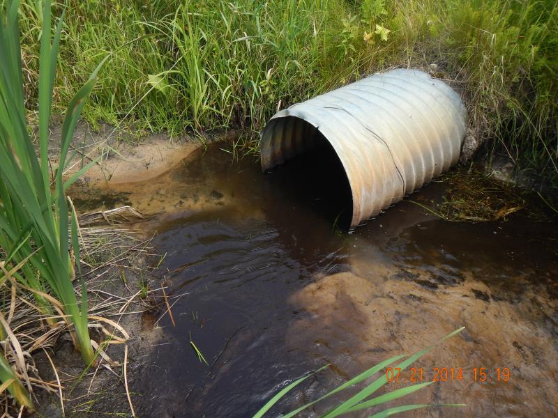
Outlet
Downstream Conditions
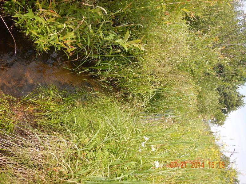
Upstream Conditions
Road Approach - Left
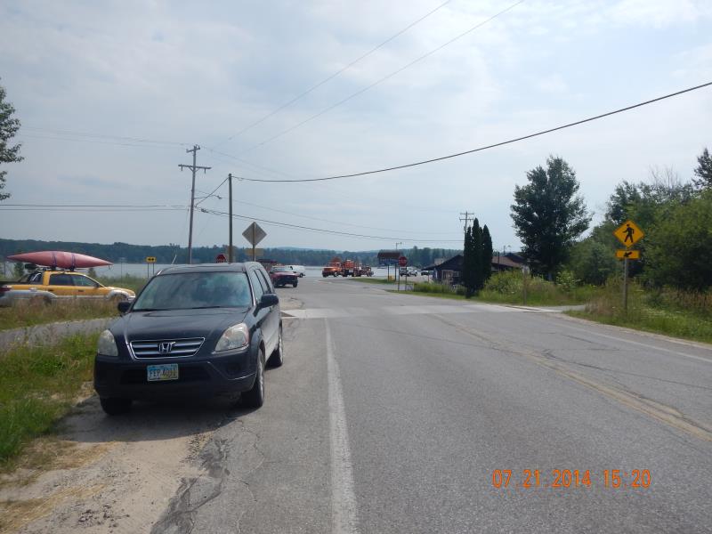
Road Approach - Right
Crossing Information
Type of Crossing: culvert(s)
Number of Structures: 1
Structure Shape: Round
Inlet Type: Wingwall 10-30 Degree
Outlet Type: At Stream Grade
Structure Material: Metal
Structure Substrate: Sand
General Conditions: Good
Structure Interior: corrugated
Dimensions of Structure: Length 59 ft.
, Width 2.96 ft.
, Height 3.13 ft.
Structure Inlet
Water Depth: 0.33 ft.
Embedded Depth of Structure: 0.08 ft.
Water Velocity*: 0.69 ft./sec.
Structure Outlet
Water Depth: 0.25 ft.
Embedded Depth of Structure: 0.5 ft.
Water Velocity*: 0.49 ft./sec.
*Water Velocities were measured 0.25 ft. below Surface
(with Meter)
Stream Information
Stream Flow: Less than 1/2 Bankfull
Scour Pool: Length 8 ft.
, Width 7 ft.
, Depth 1 ft.
Riffle Information
Water Depth: 0.55 ft.
Bankfull Width: 6 ft.
Wetted Width: 2.5 ft.
Water Velocity: 0.18 ft./sec.
(Measured with Meter)
Dominant Substrate: Sand
Road Information
Paved
County Road
Road Condition: Good
Road Width at Culvert: 31 ft.
Location of Low Point: Other
Runoff Path: Ditch
Embankments
Upstream
Fill Depth: 3 ft.
Slope: 1:2
Downstream
Fill Depth: 3 ft.
Slope: 1:2
Approaches
Left Approach
Length: 50 ft.
Slope: Less Than 1%
Vegetation: Heavy
LS Factor: 0.05
Erosion: 0.0026 tons/year
Right Approach
Length: 50 ft.
Slope: Less Than 1%
Vegetation: Heavy
LS Factor: 0.05
Erosion: 0.0026 tons/year
Erosion Information
Total Erosion at Crossing: 0.0051 tons/year
Summary Information
Fish Passability 0.9
�