Road Stream Crossing Site BL-39
Crooked River Watershed, Unnamed tributary to Crooked Lake
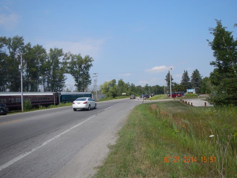
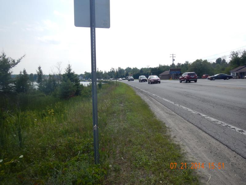
US-31
Little Traverse Twp,
Emmet County
Information collected by:
Site Location
GPS Coordinates: 45.421612
, -84.86277
T35N
R03W
Sec 13
Fish Passability 0
Perch Height: 0.5 ft.
Total Erosion: 0.0951 tons/year
Severity: Severe
Year Inventoried: 2014
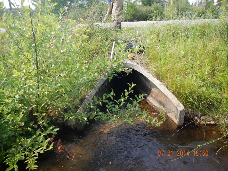
Outlet
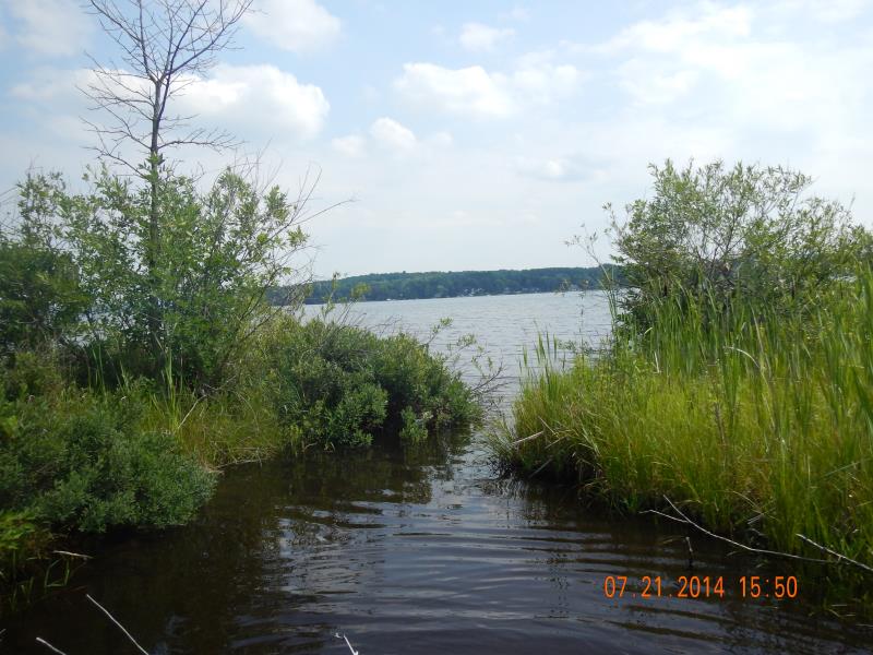
Downstream Conditions
Upstream Conditions
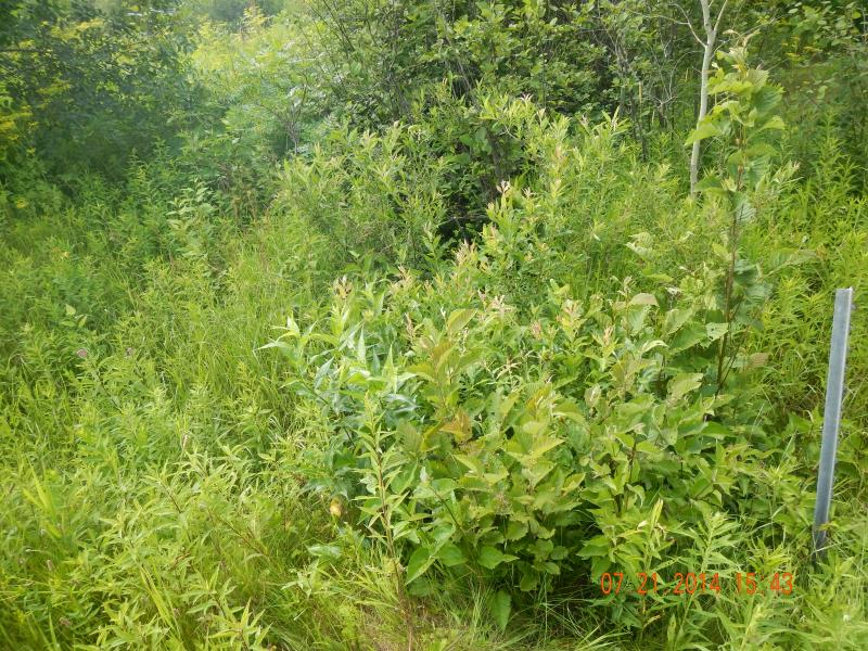
Road Approach - Left
Road Approach - Right
Crossing Information
Type of Crossing: culvert(s)
Number of Structures: 1
Structure Shape: Round
Inlet Type: Apron
Outlet Type: Outlet Apron
Structure Material: Concrete
Structure Substrate: None
General Conditions: Fair
Structure Interior: smooth
Dimensions of Structure: Length 61 ft.
, Width 2.33 ft.
, Height 2 ft.
Perch Height: 0.5 ft.
Water Depth: 0 ft.
Embedded Depth of Structure: 0 ft.
Water Velocity*: 0.426 ft./sec.
Structure Outlet
Water Depth: 0.08 ft.
Embedded Depth of Structure: 0 ft.
Water Velocity*: 0.98 ft./sec.
Stream Information
Stream Flow: Less than 1/2 Bankfull
Riffle Information
Water Depth: 0.5 ft.
Bankfull Width: 5 ft.
Wetted Width: 6 ft.
Water Velocity: 0.9 ft./sec.
(Measured with Meter)
Dominant Substrate: Sand
Road Information
Paved
Federal Road
Road Condition: Good
Road Width at Culvert: 42 ft.
Location of Low Point: Other
Runoff Path: Ditch
Embankments
Upstream
Fill Depth: 3.5 ft.
Slope: 1:2
Downstream
Approaches
Left Approach
Length: 50 ft.
Slope: Less Than 1%
Vegetation: Partial
LS Factor: 0.05
Erosion: 0.0035 tons/year
Right Approach
Length: 150 ft.
Slope: 1% to 5%
Vegetation: Partial
LS Factor: 0.44
Erosion: 0.0916 tons/year
Erosion Information
Total Erosion at Crossing: 0.0951 tons/year
Summary Information
Fish Passability 0
Fish Passage is an area of concern for this site.
Outlet is perched and water level low
A future visit to this site is recommended. Fish passage and on US-31
�