Road Stream Crossing Site BL-46
Crooked River Watershed, Oden Creek
US-31
Littlefield Twp,
Emmet County
Information collected by:
Site Location
GPS Coordinates: 45.424311
, -84.845873
T35N
R03W
Sec 18
Fish Passability 0
Total Erosion: 0.6982 tons/year
Severity: Severe
Year Inventoried: 2014
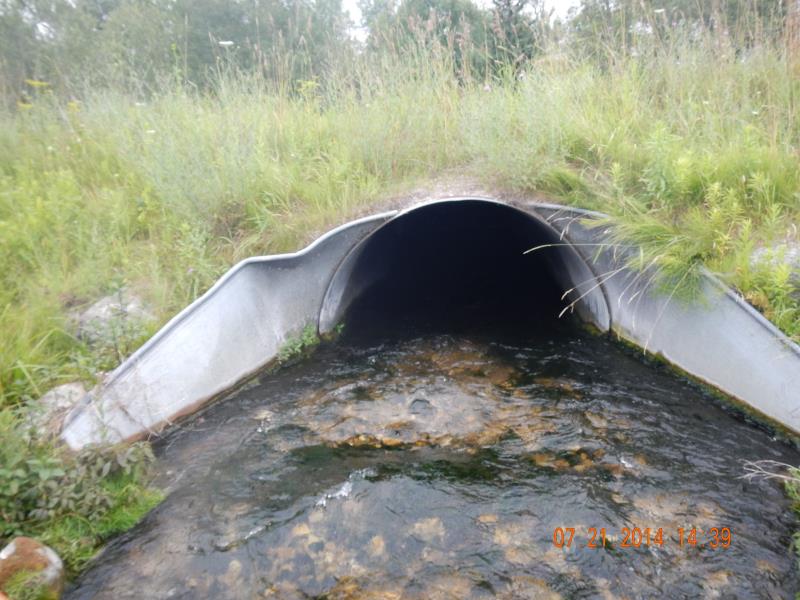
Inlet
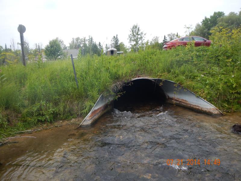
Outlet
Downstream Conditions

Upstream Conditions
Road Approach - Left
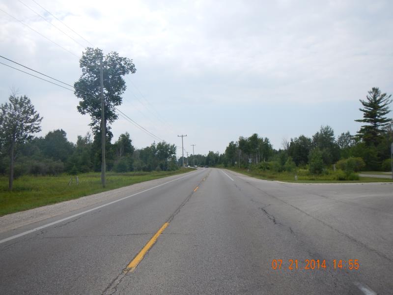
Road Approach - Right
Crossing Information
Type of Crossing: culvert(s)
Number of Structures: 1
Structure Shape: Ellipse
Inlet Type: Apron
Outlet Type: Outlet Apron
Structure Material: Metal
Structure Substrate: Mixture
General Conditions: Good
Structure Interior: corrugated
Dimensions of Structure: Length 65 ft.
, Width 5.5 ft.
, Height 3.7 ft.
Structure Inlet
Water Depth: 0.9 ft.
Embedded Depth of Structure: 0.22 ft.
Water Velocity*: 3.15 ft./sec.
Structure Outlet
Water Depth: 0.9 ft.
Water Velocity*: 3.94 ft./sec.
*Water Velocities were measured 0.5 ft. below Surface
(with Meter)
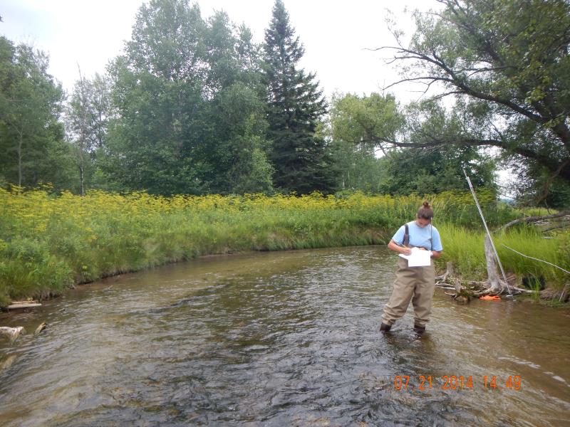
Stream Information
Stream Flow: Less than 1/2 Bankfull
Riffle Information
Water Depth: 1.1 ft.
Bankfull Width: 15 ft.
Wetted Width: 7.16 ft.
Water Velocity: 3.15 ft./sec.
(Measured with Meter)
Dominant Substrate: Cobble
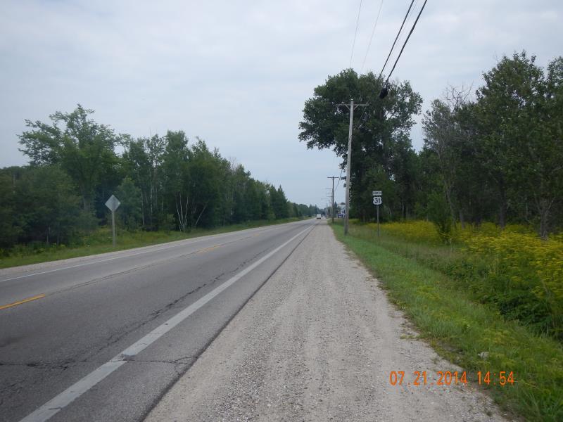
Road Information
Paved
Federal Road
Road Condition: Good
Road Width at Culvert: 33 ft.
Location of Low Point: Other
Runoff Path: Ditch
Embankments
Upstream
Fill Depth: 2.5 ft.
Slope: 1:2
Downstream
Fill Depth: 3.5 ft.
Slope: 1:2
Approaches
Left Approach
Length: 500 ft.
Slope: 1% to 5%
Vegetation: Partial
LS Factor: 0.64
Erosion: 0.3491 tons/year
Right Approach
Length: 500 ft.
Slope: 1% to 5%
Vegetation: Partial
LS Factor: 0.64
Erosion: 0.3491 tons/year
Erosion Information
Total Erosion at Crossing: 0.6982 tons/year
Summary Information
Fish Passability 0
A future visit to this site is recommended. On US-31
�