Road Stream Crossing Site BL-51
Maple River Watershed, Van Creek
US-131
McKinley Twp,
Emmet County
Information collected by:
Site Location
GPS Coordinates: 45.605493
, -84.782823
T37N
R03W
Sec 15
Total Erosion: 0.0149 tons/year
Severity: Restored
Year Inventoried: 2023

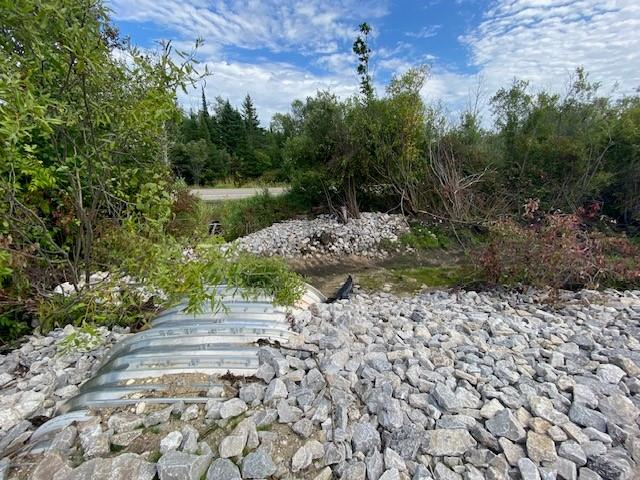
Inlet
Outlet

Road Approach - Left

Road Approach - Right
Crossing Information
Type of Crossing: culvert(s)
Number of Structures: 1
Structure Shape: Open Bottom Square/Rectangle
Inlet Type: Wingwall 10-30 Degree
Outlet Type: At Stream Grade
Structure Material: Metal
Structure Substrate: Mixture
General Conditions: New
Structure Interior: corrugated
Dimensions of Structure: Length 40.8 ft.
, Width 9.6 ft.
, Height 4.5 ft.
Embedded Depth of Structure: 0 ft.
Structure Outlet
Water Depth: 1 ft.
Additional Comments
Stream was dried up when we did inventory with lack of rainfall.
Stream Information
Stream Flow: None
Bankfull Width: 7 ft.
(Measured with Meter)
Dominant Substrate: Sand
Road Information
Gravel
State Road
Road Condition: Good
Road Width at Culvert: 25 ft.
Location of Low Point: At Stream
Runoff Path: Ditch
Embankments
Upstream
Fill Depth: 3 ft.
Slope: 1:2
Downstream
Fill Depth: 2.5 ft.
Slope: More than 1:2
Approaches
Left Approach
Length: 50 ft.
Slope: Less Than 1%
Vegetation: Heavy
LS Factor: 0.05
Erosion: 0.0074 tons/year
Right Approach
Length: 50 ft.
Slope: Less Than 1%
Vegetation: Heavy
LS Factor: 0.05
Erosion: 0.0074 tons/year
Erosion Information
Total Erosion at Crossing: 0.0149 tons/year
Extent of Erosion: Stabilized
Summary Information
�