Road Stream Crossing Site BL-86
Crooked River Watershed, Sanford Creek
Valley Rd
Maple River Twp,
Emmet County
Information collected by:
Site Location
GPS Coordinates: 45.478647
, -84.833308
T36N
R03W
Sec 30
Fish Passability 0.9
Total Erosion: 0.7498 tons/year
Severity: Moderate
Year Inventoried: 2014
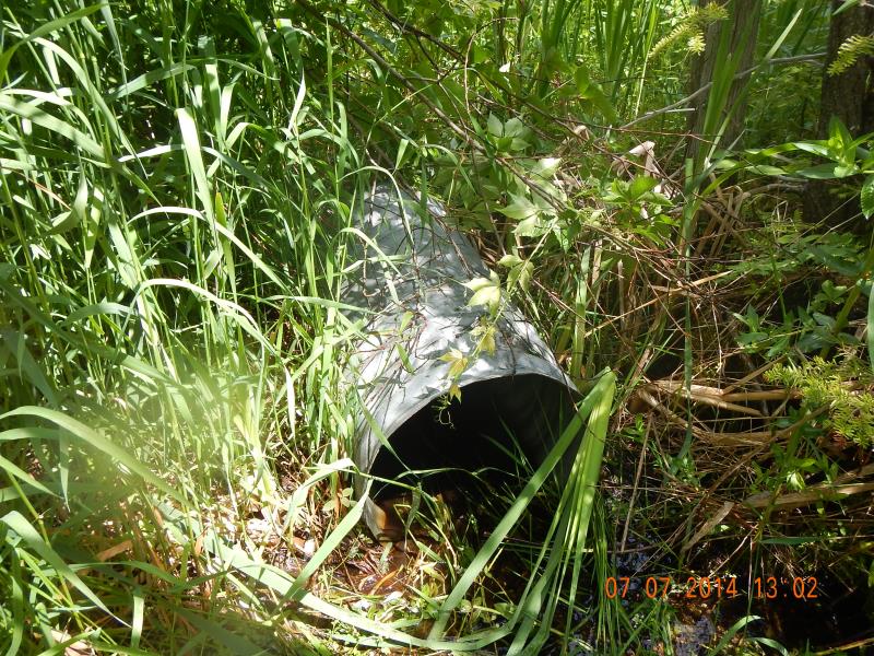
Inlet
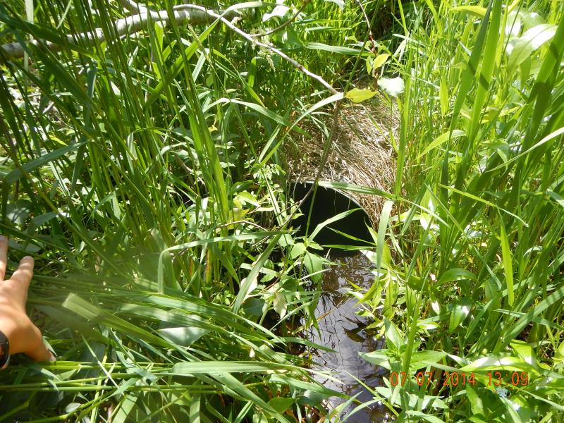
Outlet
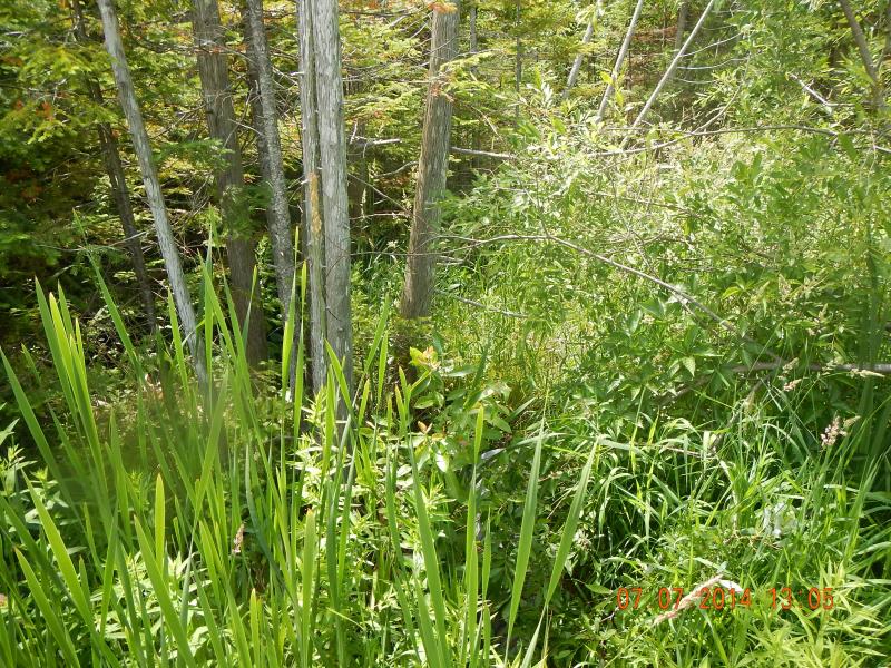
Upstream Conditions
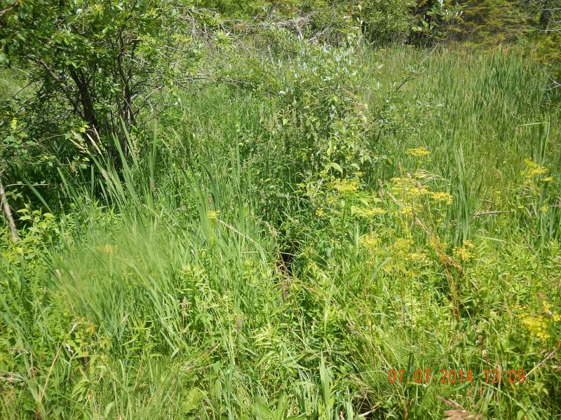
Downstream Conditions
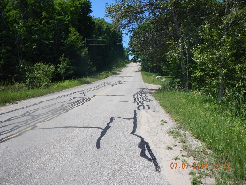
Road Approach - Left
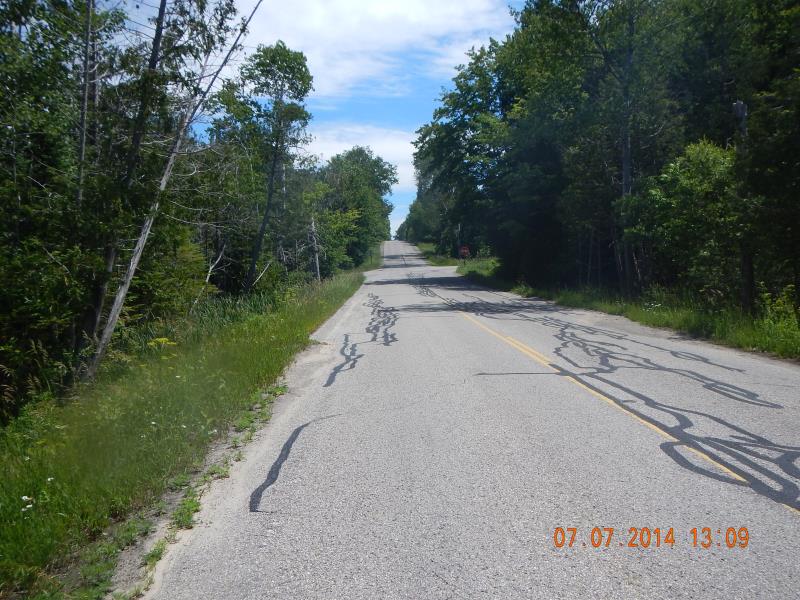
Road Approach - Right
Crossing Information
Type of Crossing: culvert(s)
Number of Structures: 1
Structure Shape: Round
Inlet Type: Projecting
Outlet Type: At Stream Grade
Structure Material: Metal
Structure Substrate: Gravel
General Conditions: Good
Structure Interior: corrugated
Dimensions of Structure: Length 60 ft.
, Width 1.55 ft.
, Height 1.75 ft.
Percentage Plugged:
Inlet: 1% to 25%
Structure Inlet
Water Depth: 0.42 ft.
Embedded Depth of Structure: 0.04 ft.
Water Velocity*: 0 ft./sec.
Structure Outlet
Water Depth: 0.5 ft.
Embedded Depth of Structure: 0.5 ft.
Water Velocity*: 0 ft./sec.
*Water Velocities were measured 1 ft. below Surface
(with Meter)
Stream Information
Stream Flow: Less than Bankfull
Riffle Information
Water Depth: 0 ft.
Bankfull Width: 5 ft.
Wetted Width: 0 ft.
(Measured with Meter)
Dominant Substrate: Organics
Road Information
Paved
County Road
Road Condition: Good
Road Width at Culvert: 27 ft.
Location of Low Point: At Stream
Runoff Path: Ditch
Embankments
Upstream
Fill Depth: 3 ft.
Slope: 1:2
Downstream
Fill Depth: 4 ft.
Slope: 1:2
Approaches
Left Approach
Length: 300 ft.
Slope: 6% to 10%
Vegetation: Heavy
LS Factor: 1.4
Erosion: 0.3749 tons/year
Right Approach
Length: 300 ft.
Slope: 6% to 10%
Vegetation: Heavy
LS Factor: 1.4
Erosion: 0.3749 tons/year
Erosion Information
Total Erosion at Crossing: 0.7498 tons/year
Summary Information
Fish Passability 0.9
Fish Passage is an area of concern for this site.
No passage or stream flow
A future visit to this site is recommended. Check on stream flow
�