Road Stream Crossing Site BL-87
Crooked River Watershed, Berry Creek
Wildwood
Mentor Twp,
Cheboygan County
Information collected by:
Site Location
GPS Coordinates: 45.363541
, -84.661978
T34N
R03W
Sec 3
Fish Passability 0
Total Erosion: 1.2532 tons/year
Severity: Severe
Year Inventoried: 2014
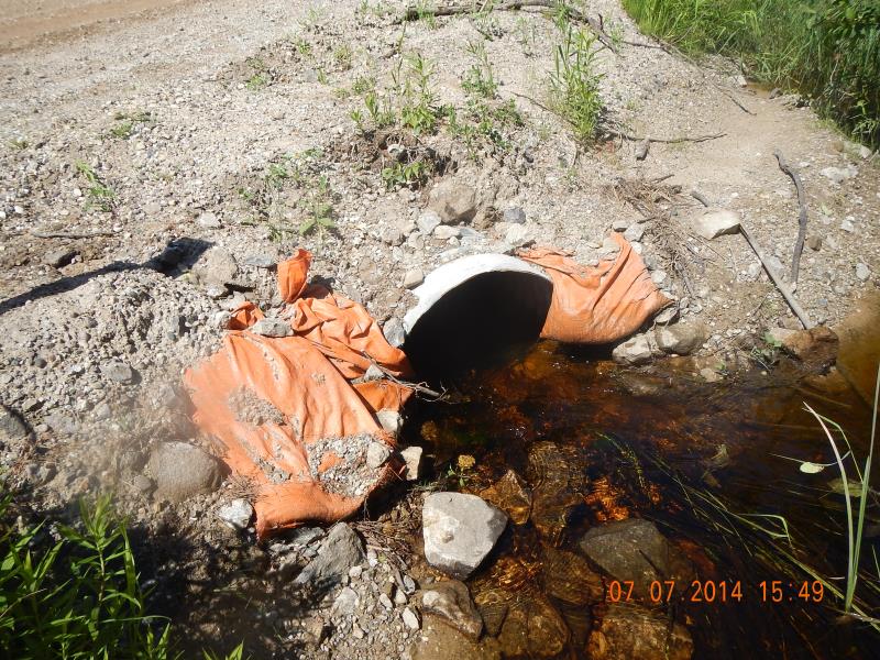
Inlet
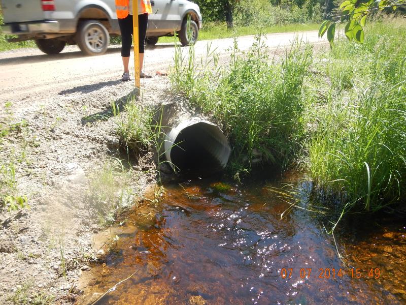
Outlet
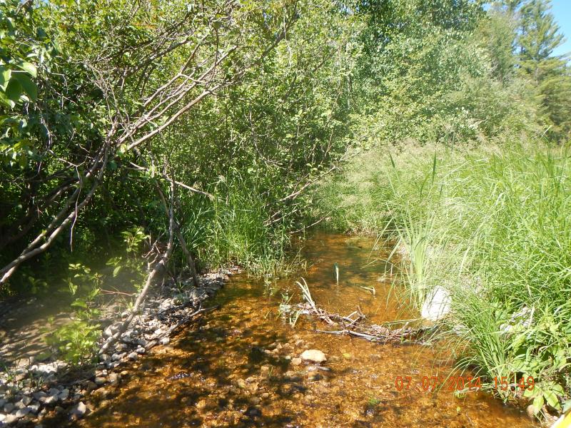
Downstream Conditions
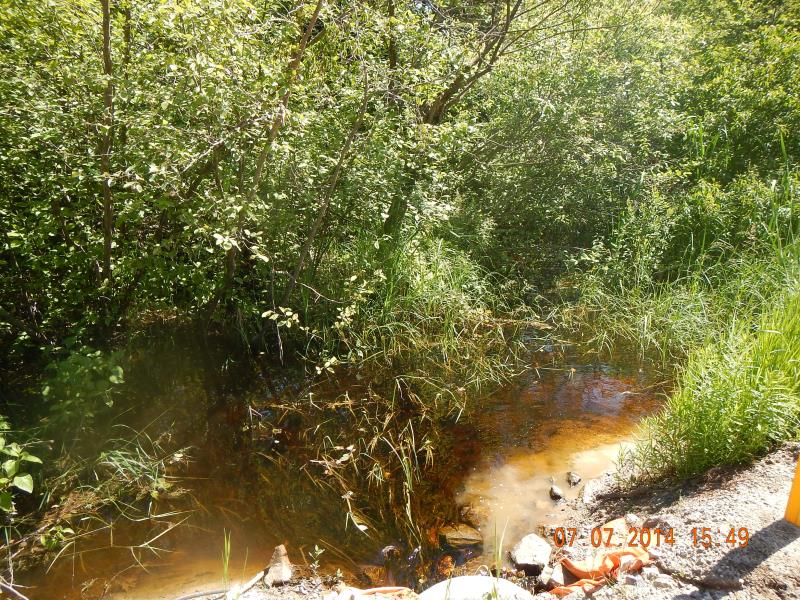
Upstream Conditions
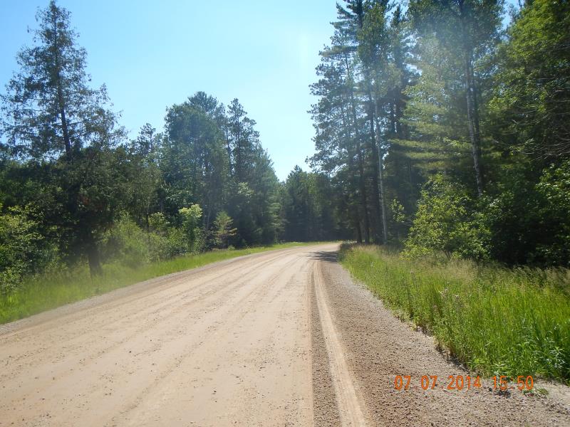
Road Approach - Left
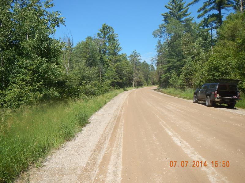
Road Approach - Right
Crossing Information
Type of Crossing: culvert(s)
Number of Structures: 1
Structure Shape: Round
Inlet Type: Projecting
Outlet Type: At Stream Grade
Structure Material: Metal
Structure Substrate: Mixture
General Conditions: New
Structure Interior: corrugated
Dimensions of Structure: Length 44.5 ft.
, Width 2 ft.
, Height 2 ft.
Percentage Plugged:
Inlet: 1% to 25%
Structure Inlet
Water Depth: 0.67 ft.
Embedded Depth of Structure: 0.16 ft.
Water Velocity*: 2.3 ft./sec.
Structure Outlet
Water Depth: 0.42 ft.
Embedded Depth of Structure: 0 ft.
Water Velocity*: 3.1 ft./sec.
*Water Velocities were measured 0.5 ft. below Surface
(with Meter)
Stream Information
Stream Flow: More than Bankfull
Scour Pool: Length 5 ft.
, Width 3 ft.
, Depth 1 ft.
Upstream Pond: Length 100 ft.
, Width 60 ft.
, Depth 3 ft.
Riffle Information
Water Depth: 0.25 ft.
Bankfull Width: 10 ft.
Wetted Width: 8 ft.
Water Velocity: 1.3 ft./sec.
(Measured with Meter)
Dominant Substrate: Gravel
Road Information
Gravel
County Road
Road Condition: Good
Road Width at Culvert: 30 ft.
Location of Low Point: At Stream
Runoff Path: Ditch
Embankments
Upstream
Fill Depth: 1.5 ft.
Slope: 1:2
Downstream
Fill Depth: 1.5 ft.
Slope: 1:1.5
Approaches
Left Approach
Length: 100 ft.
Slope: 1% to 5%
Vegetation: Heavy
LS Factor: 0.38
Erosion: 0.314 tons/year
Right Approach
Length: 100 ft.
Slope: 1% to 5%
Vegetation: Heavy
LS Factor: 0.38
Erosion: 0.314 tons/year
Erosion Information
Total Erosion at Crossing: 1.2532 tons/year
Extent of Erosion: Moderate
Notes: Moderate-severe. Culvert looks new, plants could be planted to stop erosion. There are are orange bags at inlet, trying to prevent it.
Location of Erosion | Erosion Dimensions | Eroded Material | Material Eroded | Total Erosion | ||
facing downstream | Length | Width | Depth | Reaching Stream? | (tons/year) | |
Right Approach |
25 ft. |
4 ft. |
3 ft. |
yes |
Gravel |
0.525 |
Right Upstream Embankment |
6.5 ft. |
3 ft. |
2 ft. |
yes |
Sand |
0.1001 |
Summary Information
Fish Passability 0
Erosion is an area of concern for this site.
At inlet and outlet
A future visit to this site is recommended. Check erosion and bags.
�