Road Stream Crossing Site BL-91
Crooked River Watershed, McPhee Creek
West
Alanson,
Emmet County
Information collected by:
Site Location
GPS Coordinates: 45.439349
, -84.78932
T35N
R03W
Sec 10
Fish Passability 0.9
Total Erosion: 0.0037 tons/year
Severity: Minor
Year Inventoried: 2014
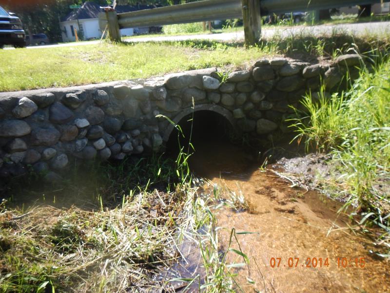
Inlet
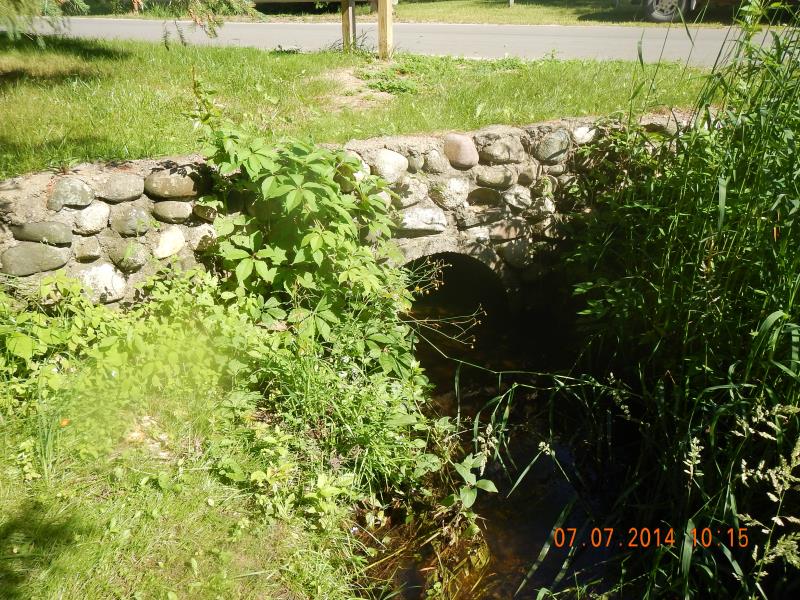
Outlet
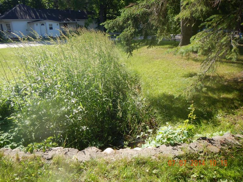
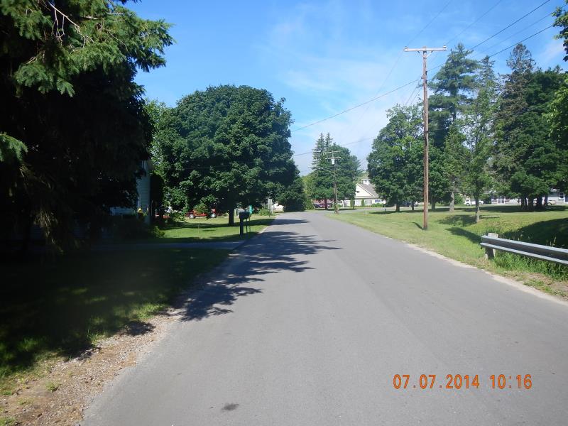
Downstream Conditions
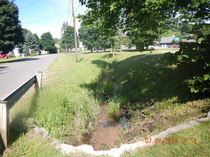
Upstream Conditions
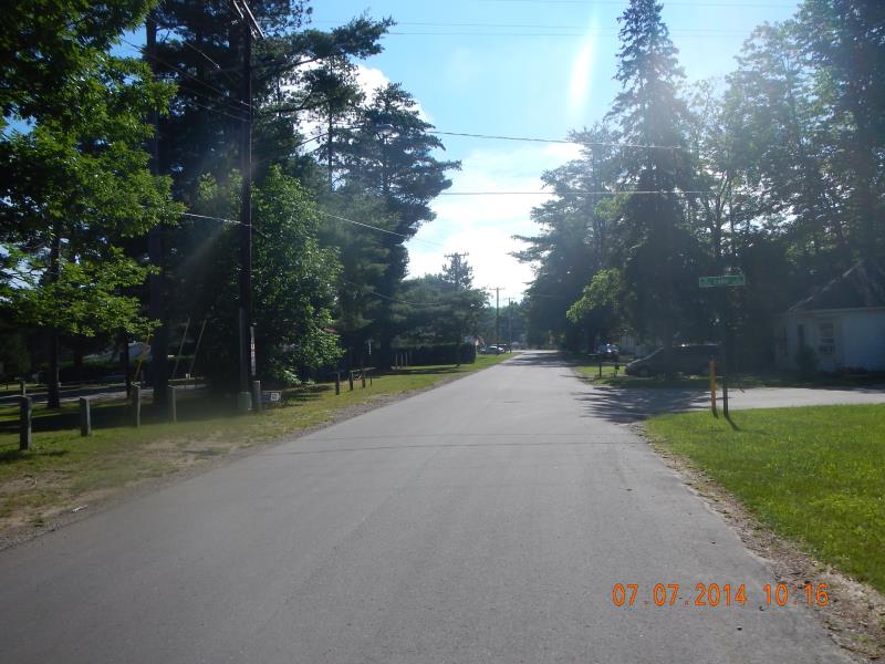
Road Approach - Left
Road Approach - Right
Crossing Information
Type of Crossing: culvert(s)
Number of Structures: 1
Structure Shape: Open Bottom Arch
Inlet Type: Headwall
Outlet Type: At Stream Grade
Structure Material: Concrete
Structure Substrate: Sand
General Conditions: Good
Structure Interior: smooth
Dimensions of Structure: Length 51.5 ft.
, Width 2.5 ft.
, Height 1.33 ft.
Structure Inlet
Water Depth: 0.42 ft.
Water Velocity*: 1.3 ft./sec.
Structure Outlet
Water Depth: 0.54 ft.
Water Velocity*: 0.5 ft./sec.
*Water Velocities were measured 0.16 ft. below Surface
(with Meter)
Stream Information
Stream Flow: Less than 1/2 Bankfull
Riffle Information
Water Depth: 0.5 ft.
Bankfull Width: 20 ft.
Wetted Width: 4 ft.
Water Velocity: 1 ft./sec.
(Measured with Meter)
Dominant Substrate: Sand
Road Information
Paved
County Road
Road Condition: Good
Road Width at Culvert: 22.5 ft.
Location of Low Point: Other
Runoff Path: Ditch
Embankments
Upstream
Fill Depth: 3 ft.
Slope: Vertical
Downstream
Fill Depth: 3.5 ft.
Slope: Vertical
Approaches
Left Approach
Length: 50 ft.
Slope: Less Than 1%
Vegetation: Partial
LS Factor: 0.05
Erosion: 0.0019 tons/year
Right Approach
Length: 50 ft.
Slope: Less Than 1%
Vegetation: Partial
LS Factor: 0.05
Erosion: 0.0019 tons/year
Erosion Information
Total Erosion at Crossing: 0.0037 tons/year
Summary Information
Fish Passability 0.9
�