Road Stream Crossing Site BL-92
Crooked River Watershed, McPhee Creek
US-31
Alanson,
Emmet County
Information collected by:
Site Location
GPS Coordinates: 45.439741
, -84.790519
T35N
R03W
Sec 10
Fish Passability 0.9
Total Erosion: 0.0425 tons/year
Severity: Moderate
Year Inventoried: 2014
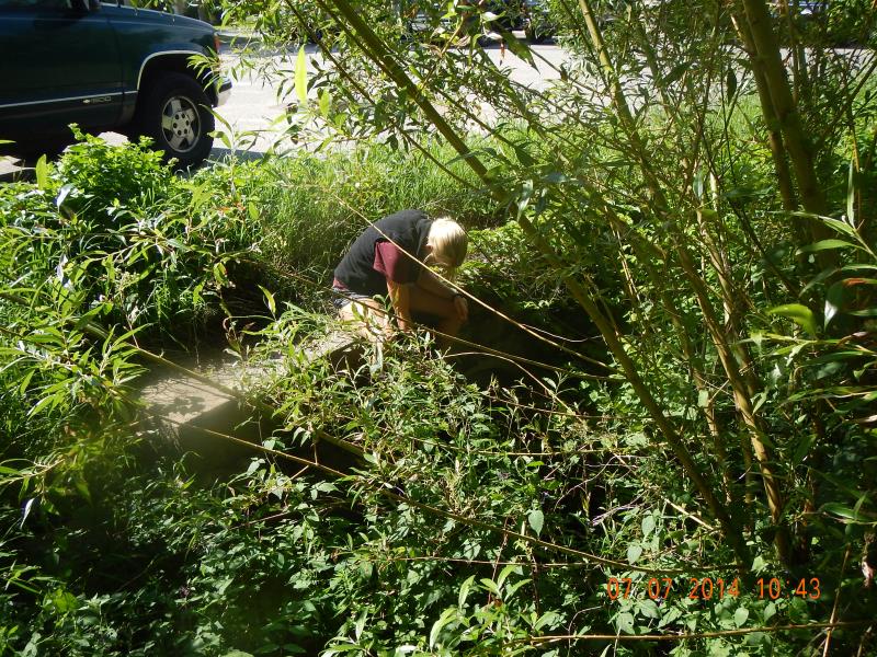
Inlet
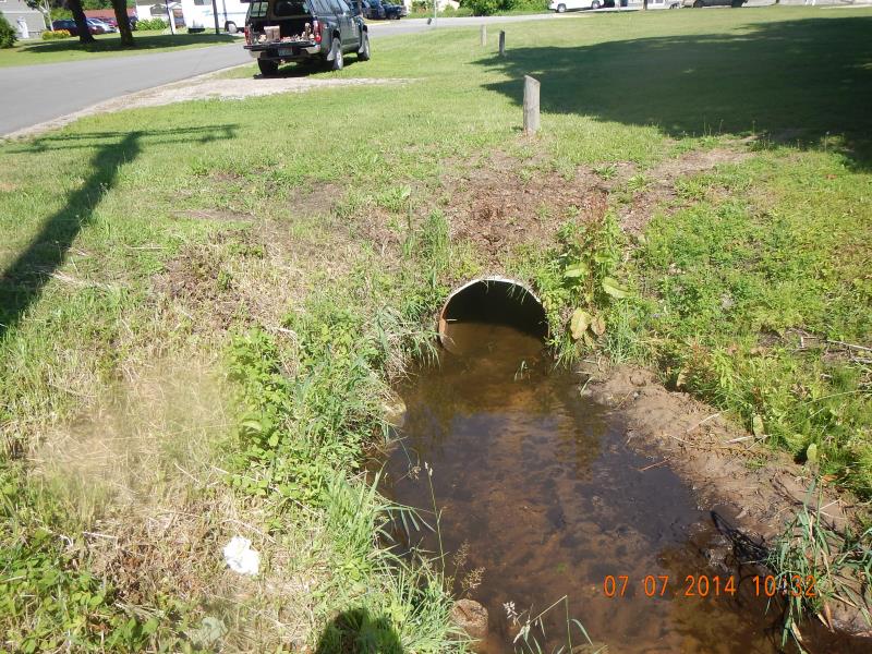
Outlet
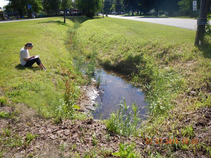
Downstream Conditions
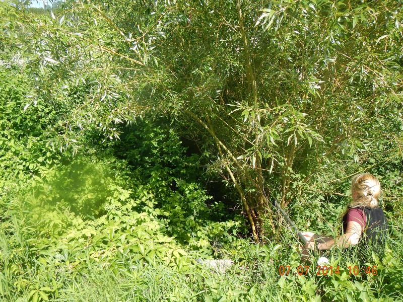
Upstream Conditions
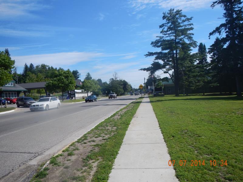
Road Approach - Left
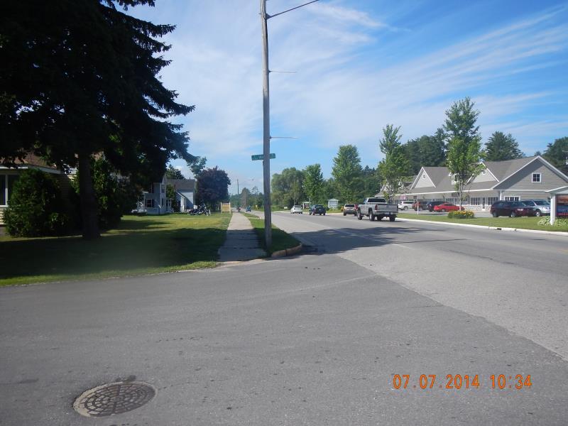
Road Approach - Right
Crossing Information
Type of Crossing: culvert(s)
Number of Structures: 1
Structure Shape: Round
Inlet Type: Headwall
Outlet Type: At Stream Grade
Structure Material: Metal
Structure Substrate: Mixture
General Conditions: Good
Structure Interior: corrugated
Dimensions of Structure: Length 257 ft.
, Width 2.92 ft.
, Height 2.92 ft.
Percentage Plugged:
Inlet: 1% to 25%
Structure Inlet
Water Depth: 1.1 ft.
Embedded Depth of Structure: 0 ft.
Water Velocity*: 1.6 ft./sec.
Structure Outlet
Water Depth: 0.67 ft.
Embedded Depth of Structure: 0.33 ft.
Water Velocity*: 0.6 ft./sec.
*Water Velocities were measured 0.25 ft. below Surface
(with Meter)
Stream Information
Stream Flow: Bankfull
Riffle Information
Water Depth: 0.5 ft.
Bankfull Width: 8 ft.
(Measured with Meter)
Dominant Substrate: Organics
Road Information
Paved
Federal Road
Road Condition: Good
Road Width at Culvert: 257 ft.
Location of Low Point: Other
Runoff Path: Ditch
Fill Depth: 1.5 ft.
Slope: 1:1.5
Approaches
Left Approach
Length: 50 ft.
Slope: Less Than 1%
Vegetation: Partial
LS Factor: 0.05
Erosion: 0.0212 tons/year
Right Approach
Length: 50 ft.
Slope: Less Than 1%
Vegetation: Partial
LS Factor: 0.05
Erosion: 0.0212 tons/year
Erosion Information
Total Erosion at Crossing: 0.0425 tons/year
Extent of Erosion: Minor
Summary Information
Fish Passability 0.9
A future visit to this site is recommended. Long under road crossing
�