Road Stream Crossing Site BL-93
Crooked River Watershed, McPhee Creek
Valley Rd
Maple River Twp,
Emmet County
Information collected by:
Site Location
GPS Coordinates: 45.470933
, -84.818681
T36N
R03W
Sec 32
Fish Passability 0.5
Total Erosion: 0.0943 tons/year
Severity: Moderate
Year Inventoried: 2014
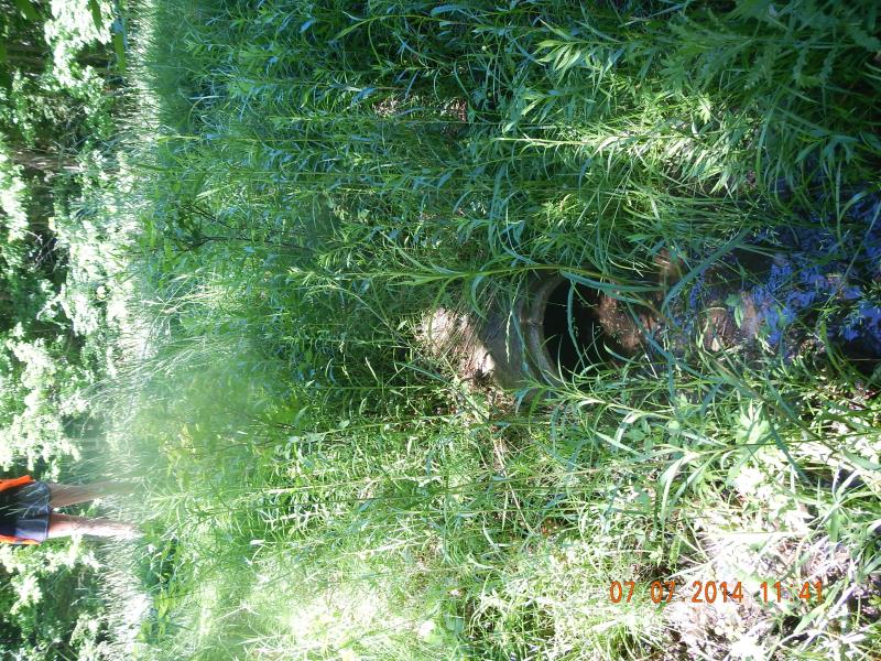
Inlet
Outlet
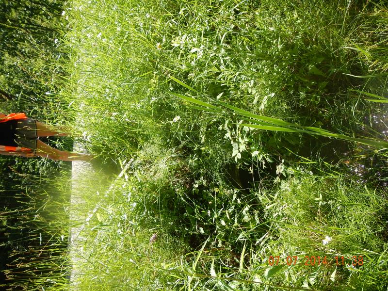
Upstream Conditions
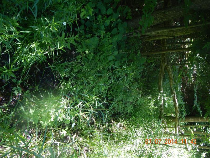
Downstream Conditions
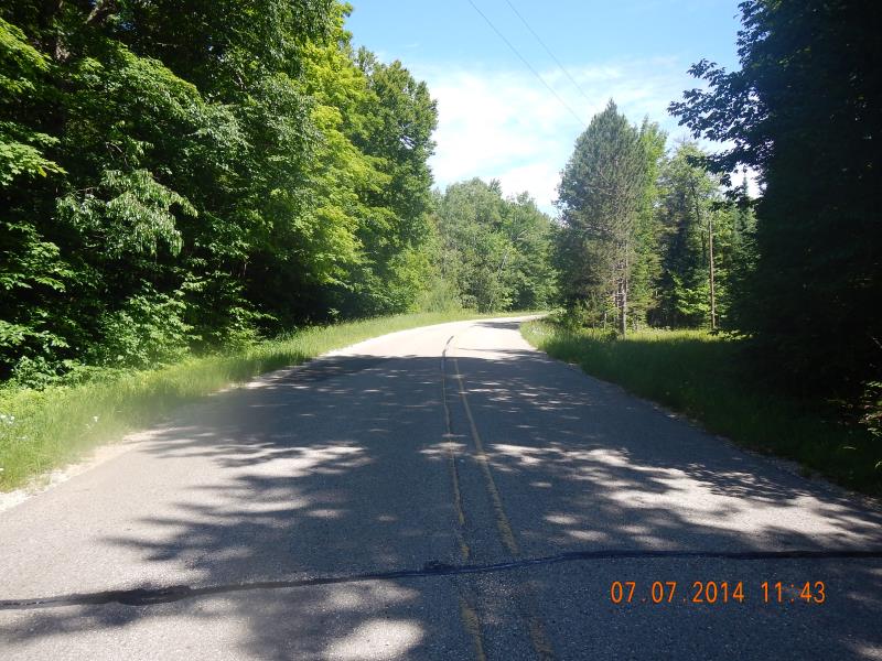
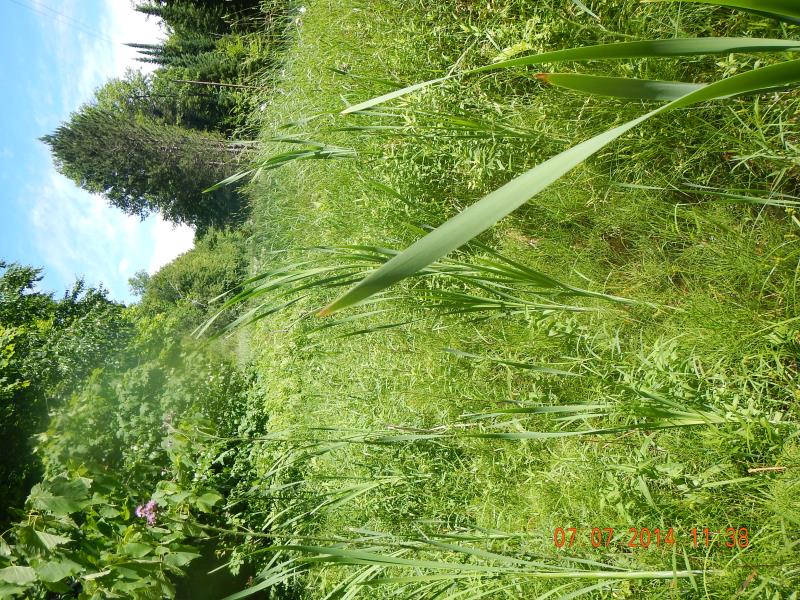
Road Approach - Left
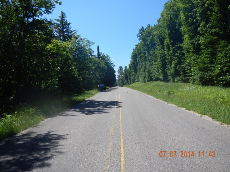
Road Approach - Right
Crossing Information
Type of Crossing: culvert(s)
Number of Structures: 1
Structure Shape: Round
Inlet Type: Projecting
Outlet Type: At Stream Grade
Structure Material: Concrete
Structure Substrate: Gravel
General Conditions: Good
Structure Interior: smooth
Dimensions of Structure: Length 42 ft.
, Width 1.33 ft.
, Height 1.33 ft.
Percentage Plugged:
Inlet: 1% to 25%
Structure Inlet
Water Depth: 0.08 ft.
Embedded Depth of Structure: 0.004 ft.
Water Velocity*: 0 ft./sec.
Structure Outlet
Water Depth: 0.04 ft.
Embedded Depth of Structure: 0.42 ft.
Water Velocity*: 0 ft./sec.
*Water Velocities were measured at the Surface
(with Float Test)
Stream Information
Stream Flow: Less than 1/2 Bankfull
Riffle Information
Water Depth: 0 ft.
Bankfull Width: 0 ft.
Wetted Width: 0 ft.
(Measured with Meter)
Dominant Substrate: Gravel
Road Information
Paved
County Road
Road Condition: Good
Road Width at Culvert: 23 ft.
Location of Low Point: At Stream
Runoff Path: Ditch
Embankments
Upstream
Fill Depth: 2.5 ft.
Slope: 1:2
Downstream
Fill Depth: 3 ft.
Slope: 1:1.5
Approaches
Left Approach
Length: 100 ft.
Slope: 1% to 5%
Vegetation: Heavy
LS Factor: 0.38
Erosion: 0.0289 tons/year
Right Approach
Length: 200 ft.
Slope: 1% to 5%
Vegetation: Heavy
LS Factor: 0.43
Erosion: 0.0654 tons/year
Erosion Information
Total Erosion at Crossing: 0.0943 tons/year
Summary Information
Fish Passability 0.5
�