Road Stream Crossing Site BL-94
Crooked River Watershed, McPhee Creek
Valley Rd
Maple River Twp,
Emmet County
Information collected by:
Site Location
GPS Coordinates: 45.478796
, -84.821876
T36N
R03W
Sec 29
Fish Passability 0.9
Total Erosion: 0.5251 tons/year
Severity: Moderate
Year Inventoried: 2014
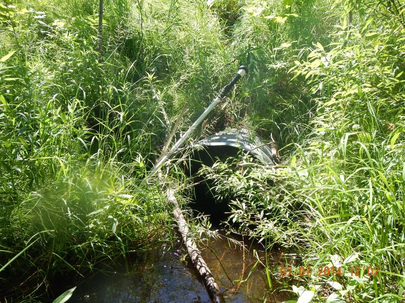
Inlet
Outlet
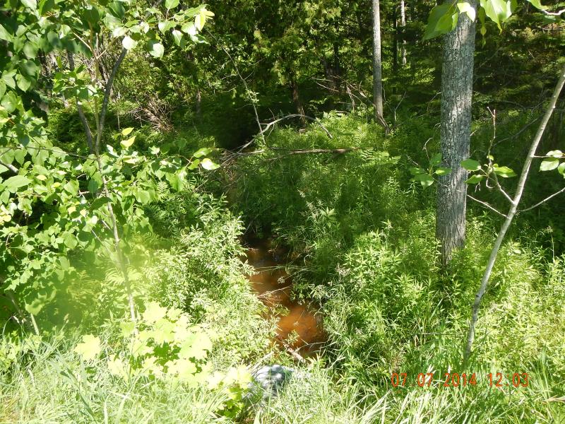
Upstream Conditions
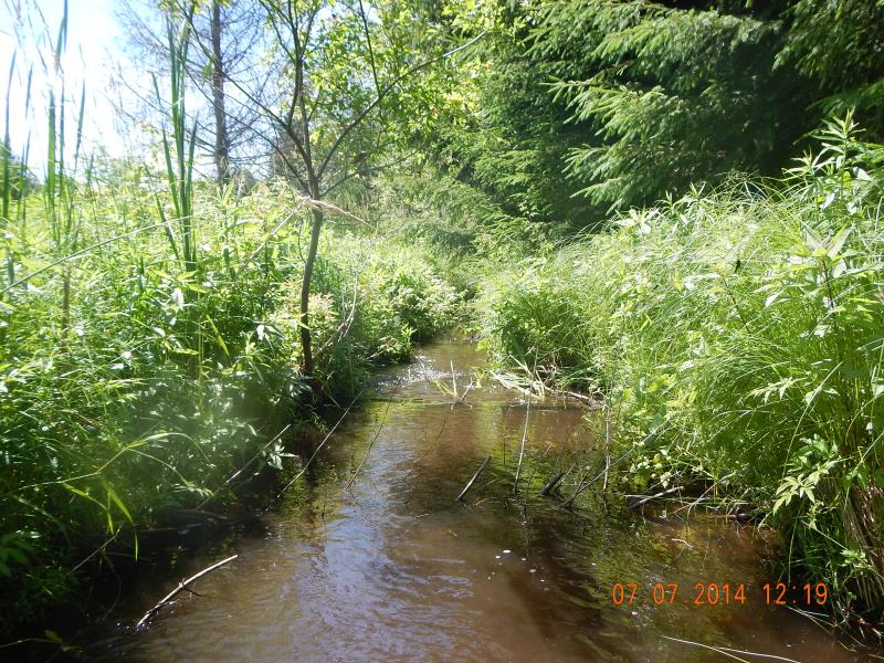
Downstream Conditions
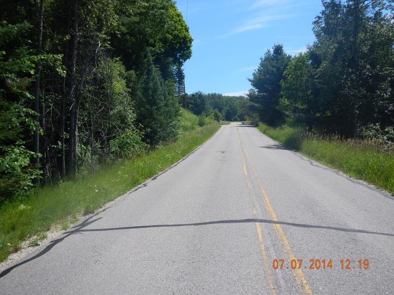
Road Approach - Left
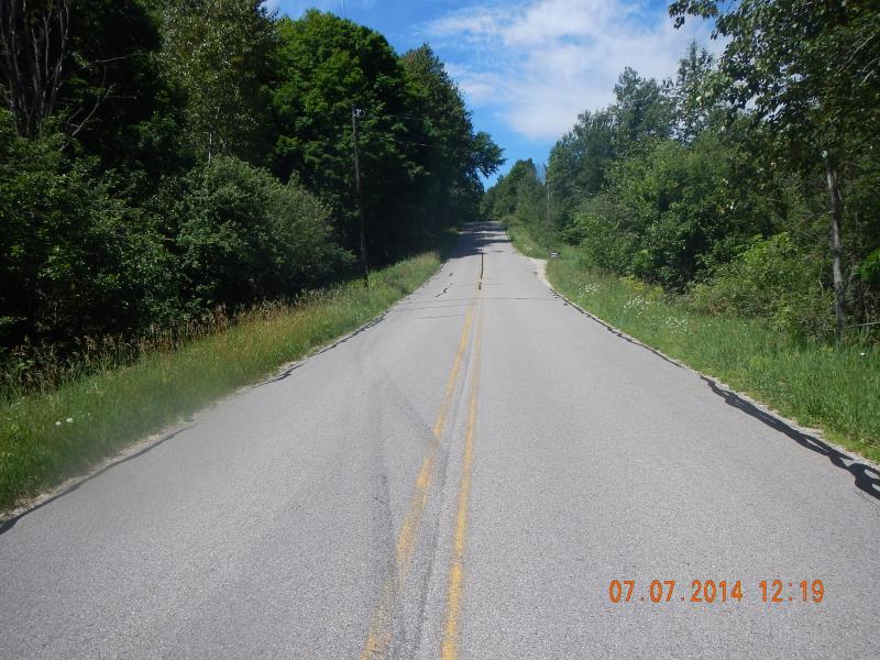
Road Approach - Right
Crossing Information
Type of Crossing: culvert(s)
Number of Structures: 1
Structure Shape: Round
Inlet Type: Projecting
Outlet Type: At Stream Grade
Structure Material: Metal
Structure Substrate: Sand
General Conditions: Good
Structure Interior: corrugated
Dimensions of Structure: Length 50 ft.
, Width 2.67 ft.
, Height 2.92 ft.
Percentage Plugged:
Inlet: 26% to 50%
Structure Inlet
Water Depth: 1.08 ft.
Embedded Depth of Structure: 0.16 ft.
Water Velocity*: 1.7 ft./sec.
Structure Outlet
Water Depth: 1.7 ft.
Embedded Depth of Structure: 0 ft.
Water Velocity*: 0.8 ft./sec.
*Water Velocities were measured 0.5 ft. below Surface
(with Meter)
Stream Information
Stream Flow: Bankfull
Riffle Information
Water Depth: 0.52 ft.
Bankfull Width: 10 ft.
Wetted Width: 4.75 ft.
Water Velocity: 1.1 ft./sec.
(Measured with Meter)
Dominant Substrate: Sand
Road Information
Paved
County Road
Road Condition: Good
Road Width at Culvert: 22 ft.
Location of Low Point: At Stream
Runoff Path: Ditch
Embankments
Upstream
Fill Depth: 6 ft.
Slope: 1:1.5
Downstream
Fill Depth: 6 ft.
Slope: 1:1.5
Approaches
Left Approach
Length: 250 ft.
Slope: 1% to 5%
Vegetation: Heavy
LS Factor: 0.44
Erosion: 0.08 tons/year
Right Approach
Length: 400 ft.
Slope: 6% to 10%
Vegetation: Heavy
LS Factor: 1.53
Erosion: 0.4451 tons/year
Erosion Information
Total Erosion at Crossing: 0.5251 tons/year
Summary Information
Fish Passability 0.9
�